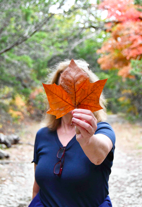
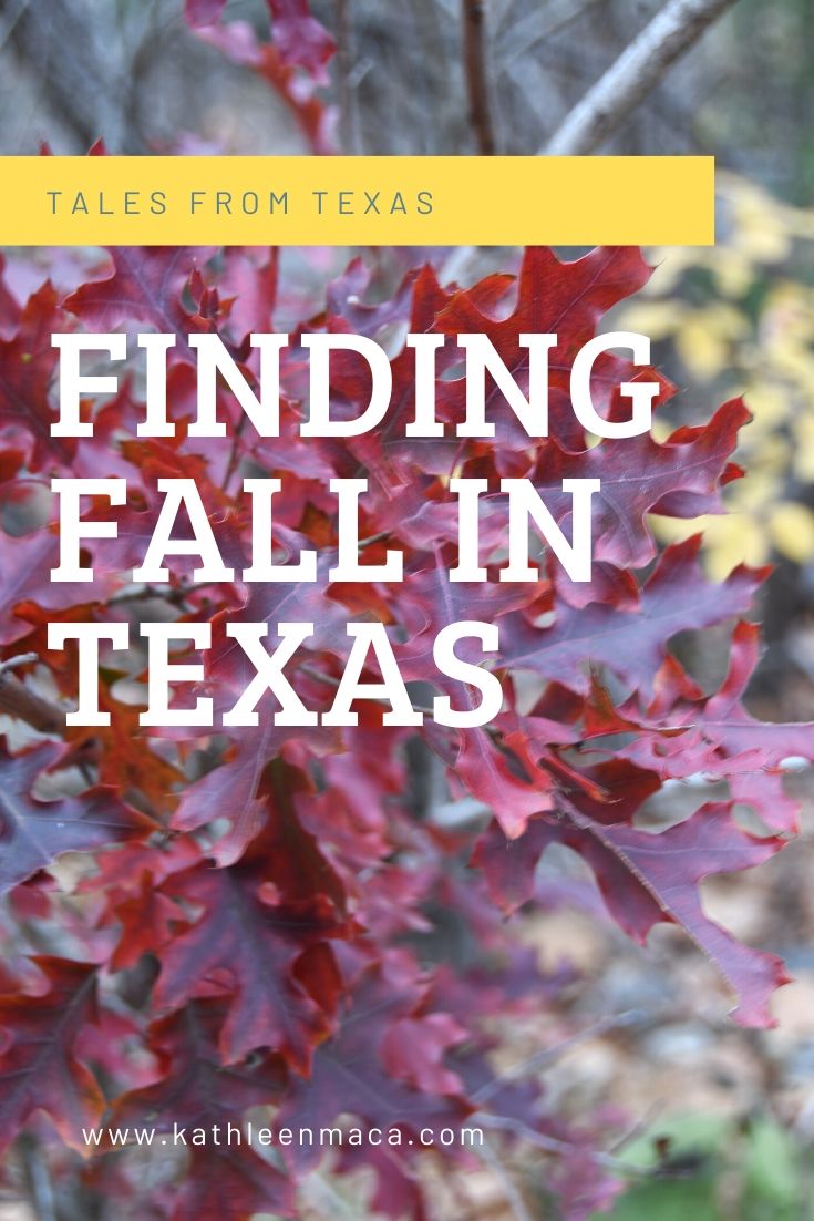
Ah, fall: cool breezes, pumpkin patches and leaves changing colors….
Wait! Change of season colors in Texas? Yep, and I’m here to tell you exactly where to mark your map for a beautifully vivid fall trip.
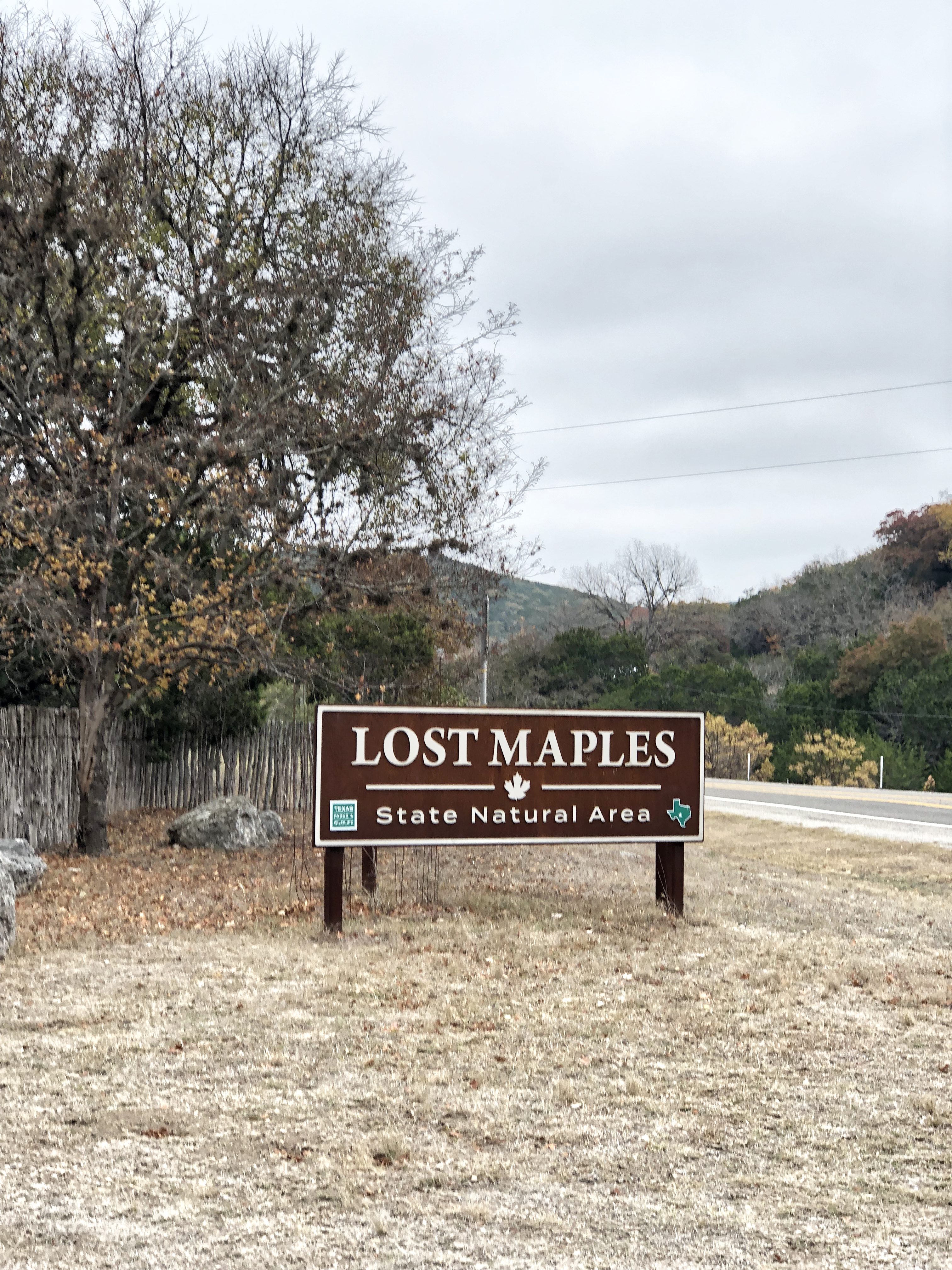
Lost Maples State Natural Area is a pristine destination about five miles north of Vanderpool on Ranch Road 187. Typical of most state parks and natural areas, March through May are busy months due to the cooler weather.
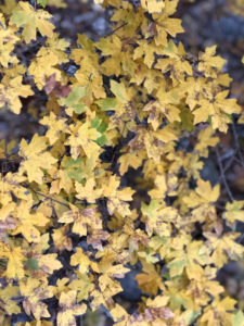
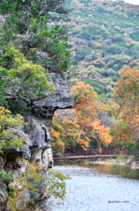
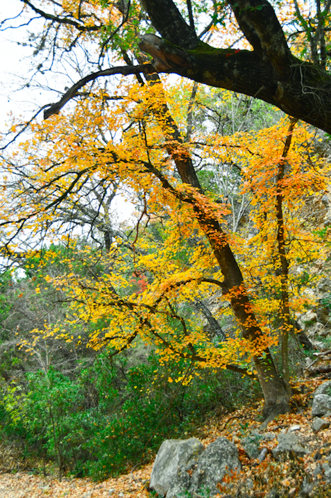
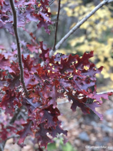
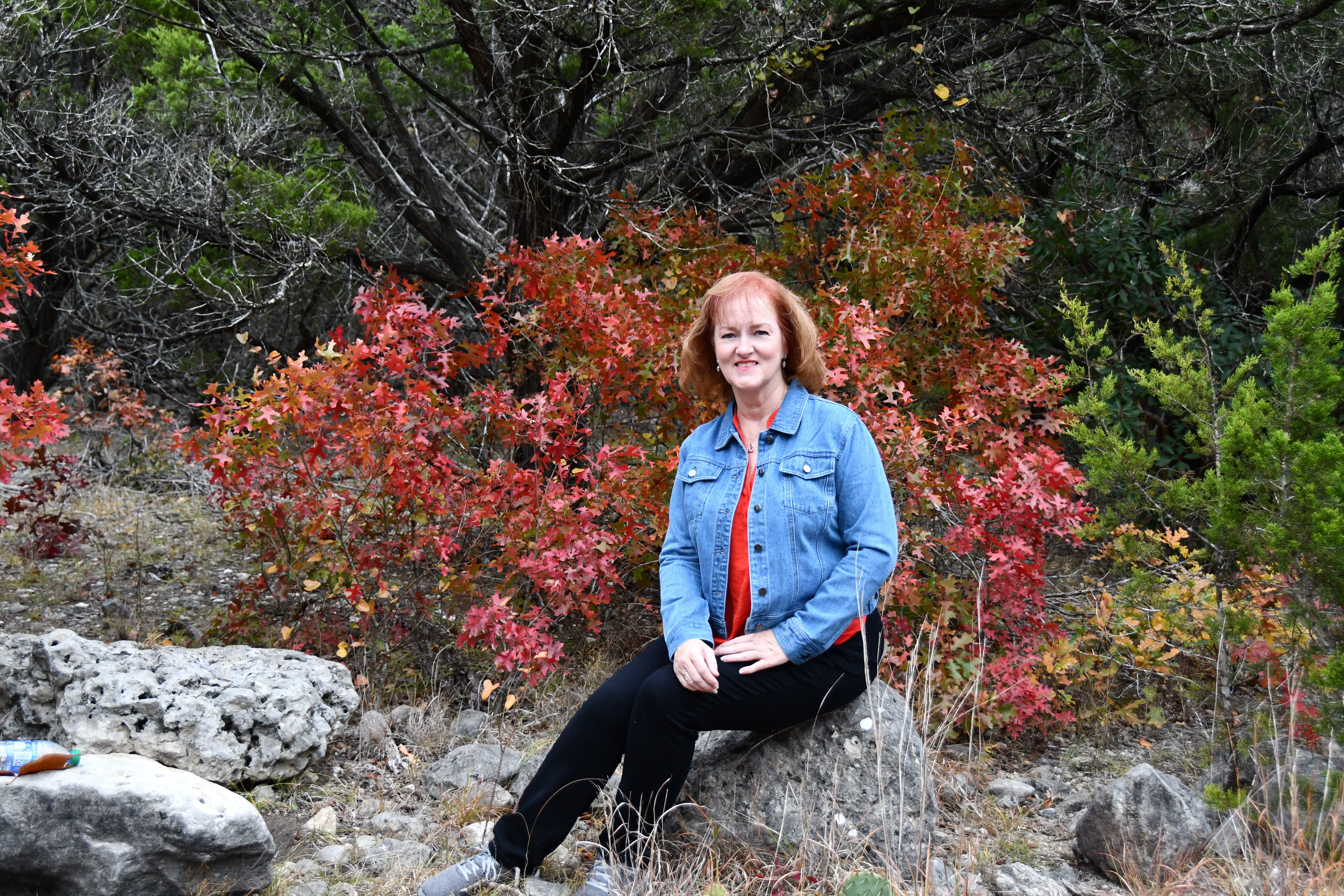
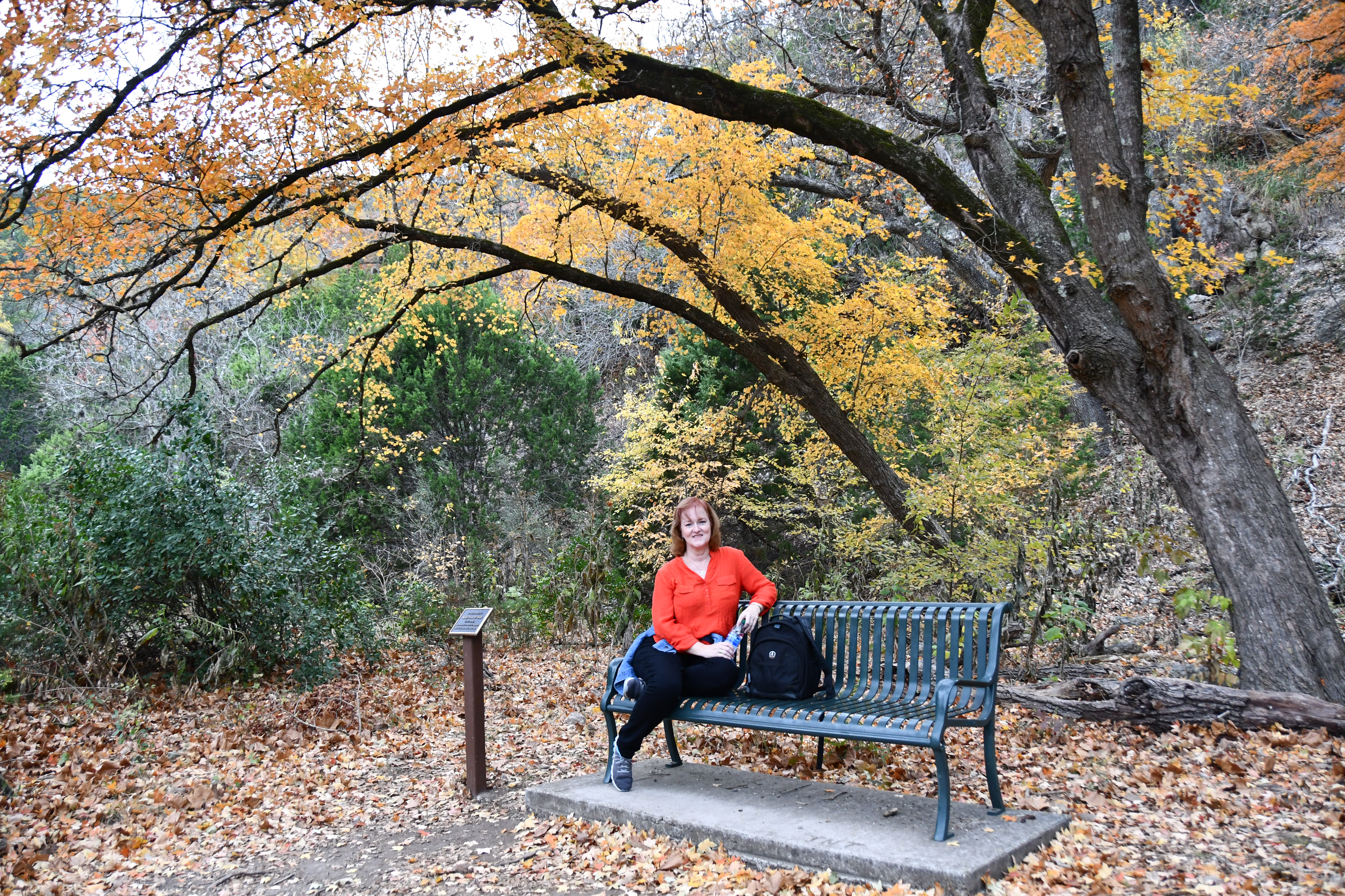
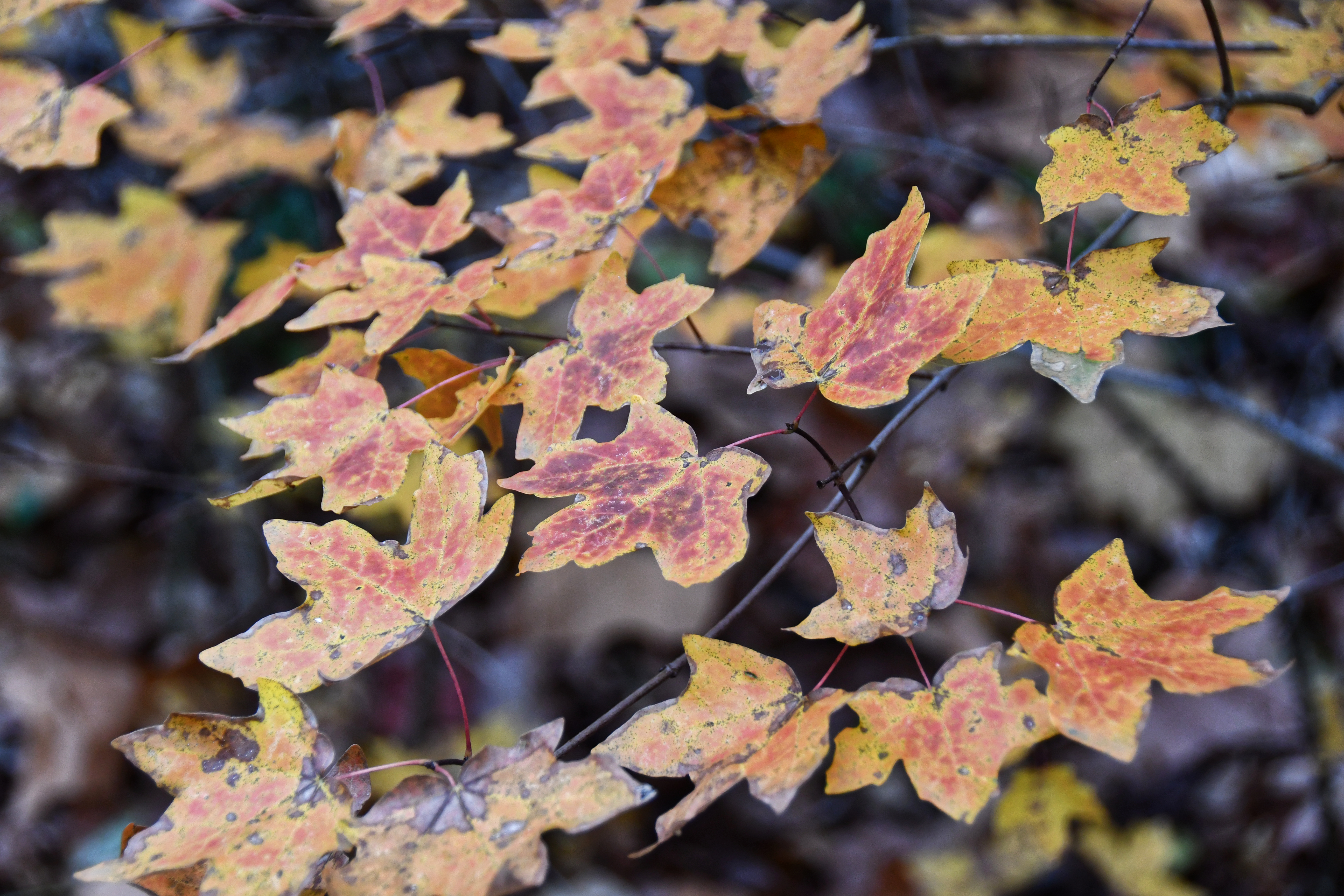
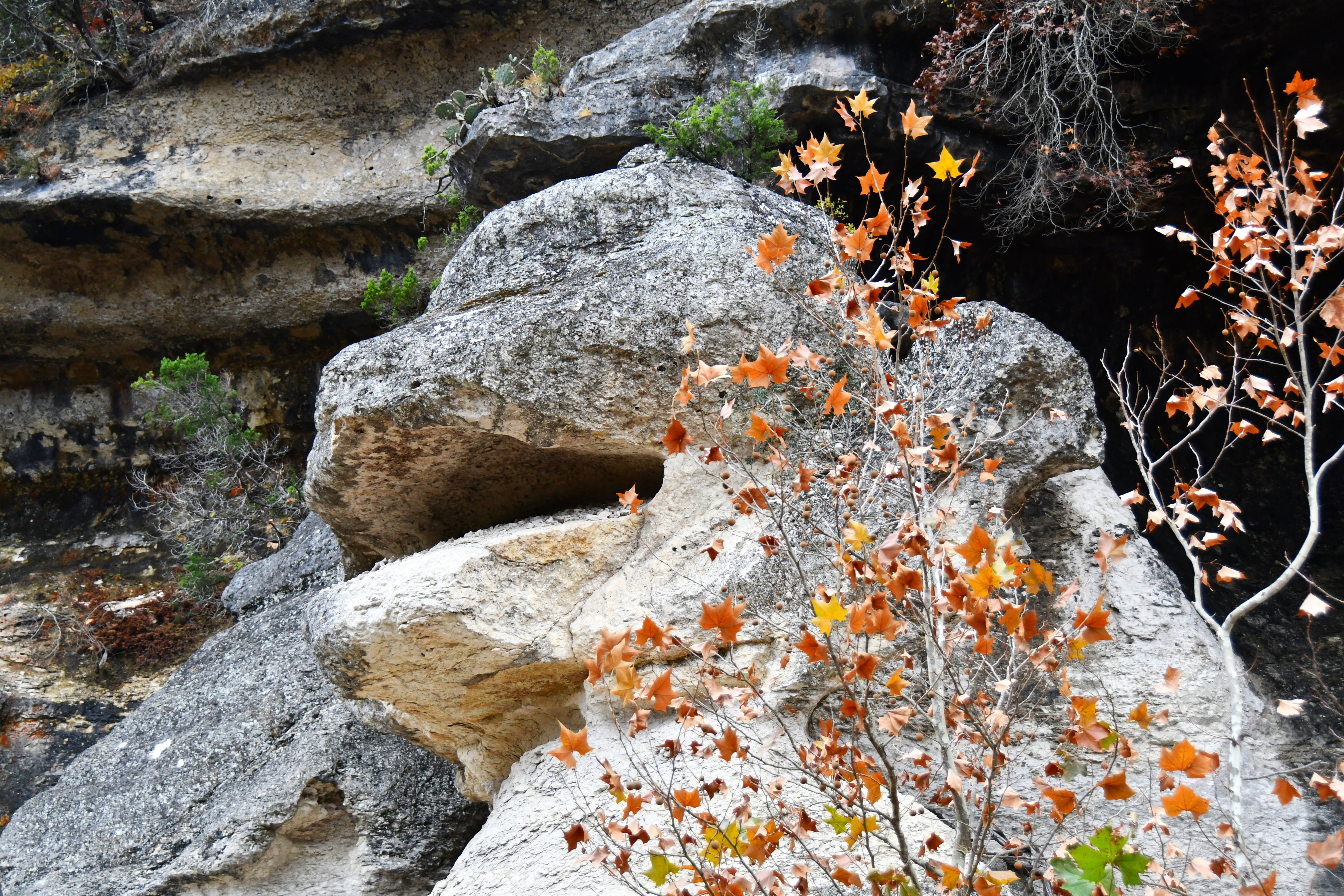
But Lost Maples’ most popular months are October and November when the foliage is ablaze in greens, reds, orange and gold.
Uvalde big tooth maples, oaks, Florida basswood, American sycamore, green ash, black willow, sugar hackberry and pecan trees tucked into limestone canyons carved by the upper Sabinal River provide the dazzling seasonal color. Add in an array of wildlife and seasonal wildflowers and this becomes one of the must-see autumn spots in the state.
Sound amazing? It is!
With over 2,900 scenic acres to explore you can fill your visit with hikes, picnicking, photography, camping, backpacking, fishing, geocaching and bird watching.
Fall temperatures at Lost Maples are mild, and the stargazing at night is jaw dropping. The sky looked like a sea of twinkling glitter. I used a handy phone app to identify some of the stars and constellations we spotted. You can find more information about the free app here.
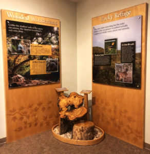
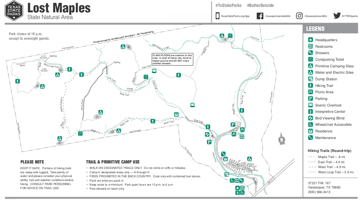
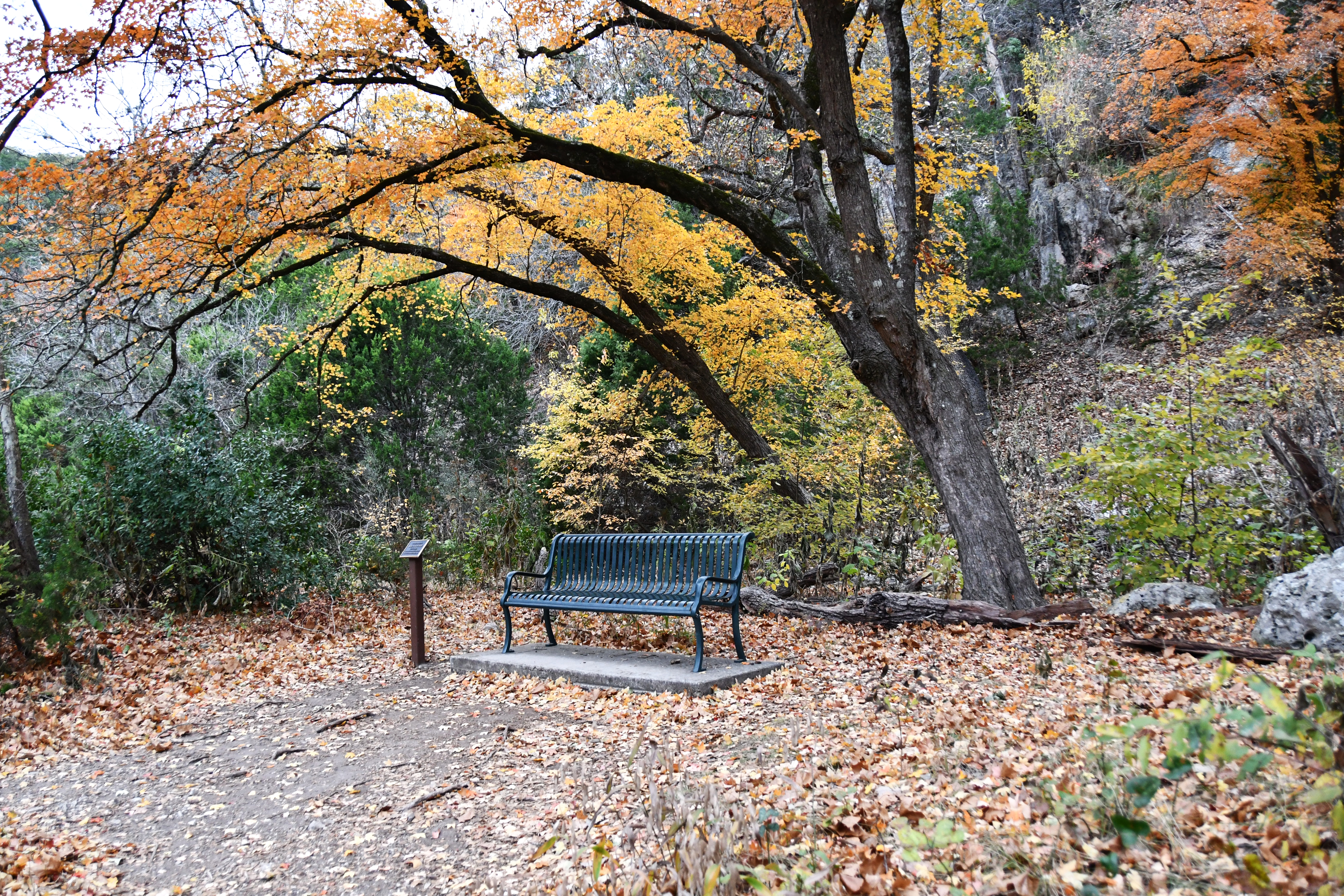
Stop into the ranger station at the entrance parking lot for a small but interesting display about Lost Maples, and don’t forget to pick up a free trail map to set your course. There are ten miles of well-maintained hiking trails, including a challenging, steep seven-mile loop that takes you along the top of a 2,200 foot cliff.
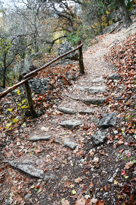
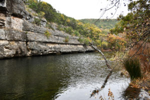
Even on the easiest trails, you’ll enjoy seeing steep canyon walls, streams, ponds and rocky bluffs.
Remember to take plenty of water and normal hiking supplies like sunscreen and a small first aid kit.
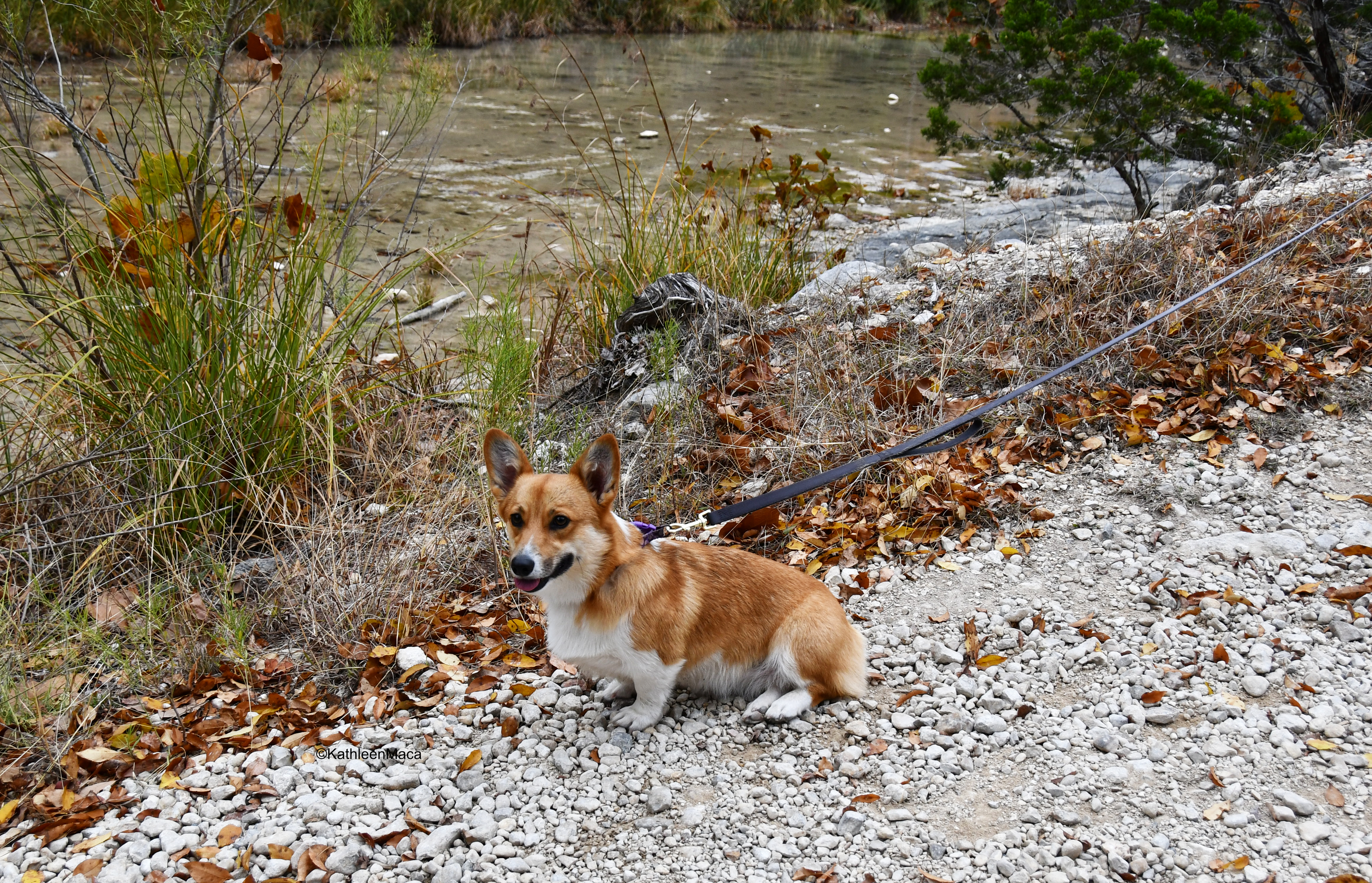
Dogs are welcome, but if they’re hiking along with you be sure to bring their water. It’s a workout for them, too.
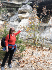
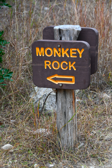
I was intent on finding Monkey Rock during my hike, one of most photographed spots in the park year round, and was grateful to find several signs indicating the general route to him. Just follow the marked trail and as you come into a clearing by the bluffs, look up! There’s no mistaking his toothless grin.
I dare you not to smile when you spot him.
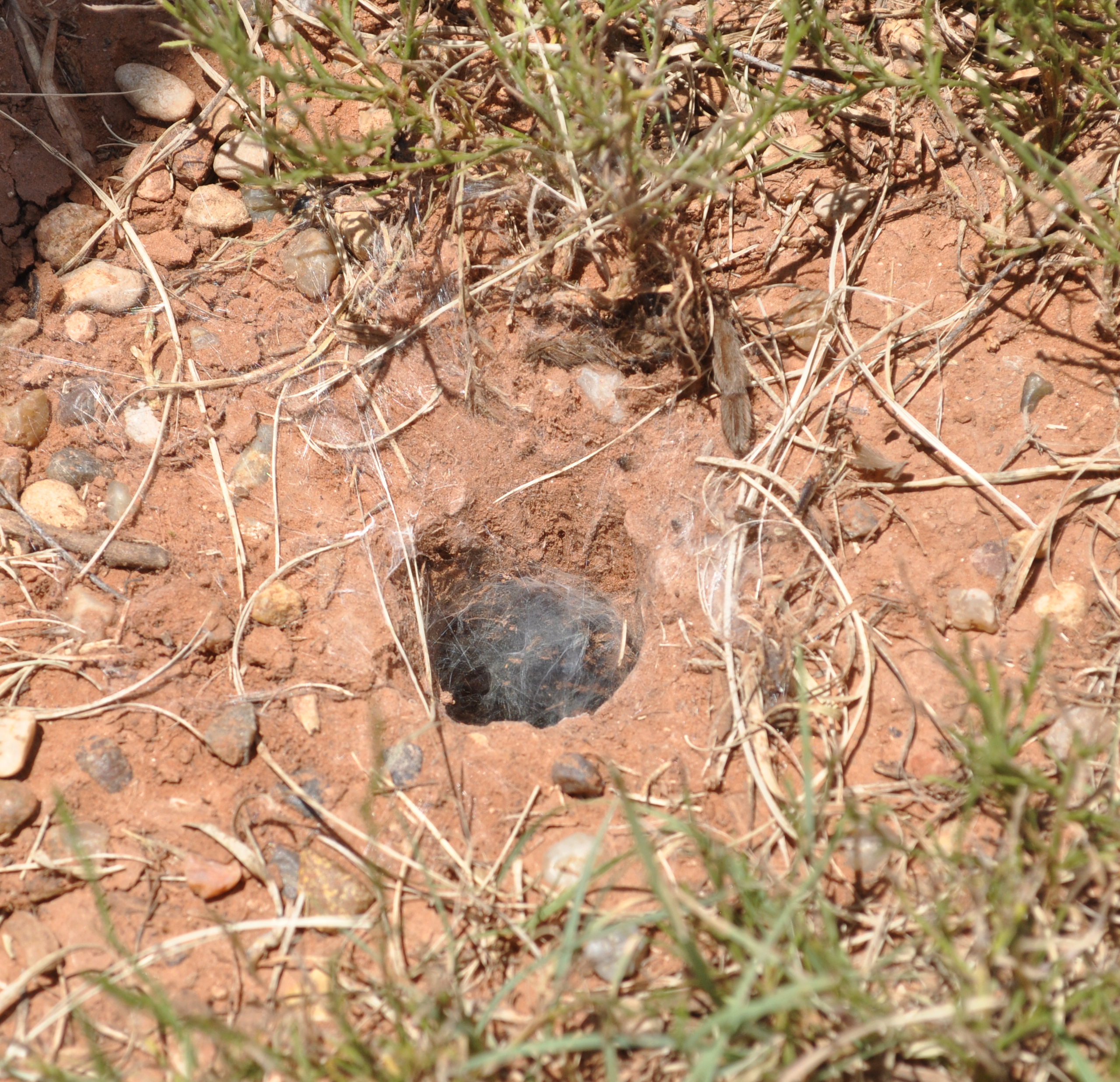
In addition to reptiles and insects (even tarantulas!), keep an eye out for an array of birds, gray fox, white-tailed deer, armadillos, raccoons, bobcats, squirrels and an occasional javelina. Most of the wildlife will understandably avoid people, but the more tranquil (quiet!) your walk, the better chance you have of spotting them.
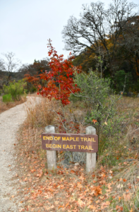
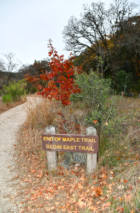
If you only have half a day or so, I recommend prioritizing a hike along the Maple Trail, to Monkey Rock and the Grotto with its ferns and drip springs, with a short detour to the waterfall.
Taking time for a picnic lunch and skipping stones across one of the ponds is guaranteed to wash away stress.
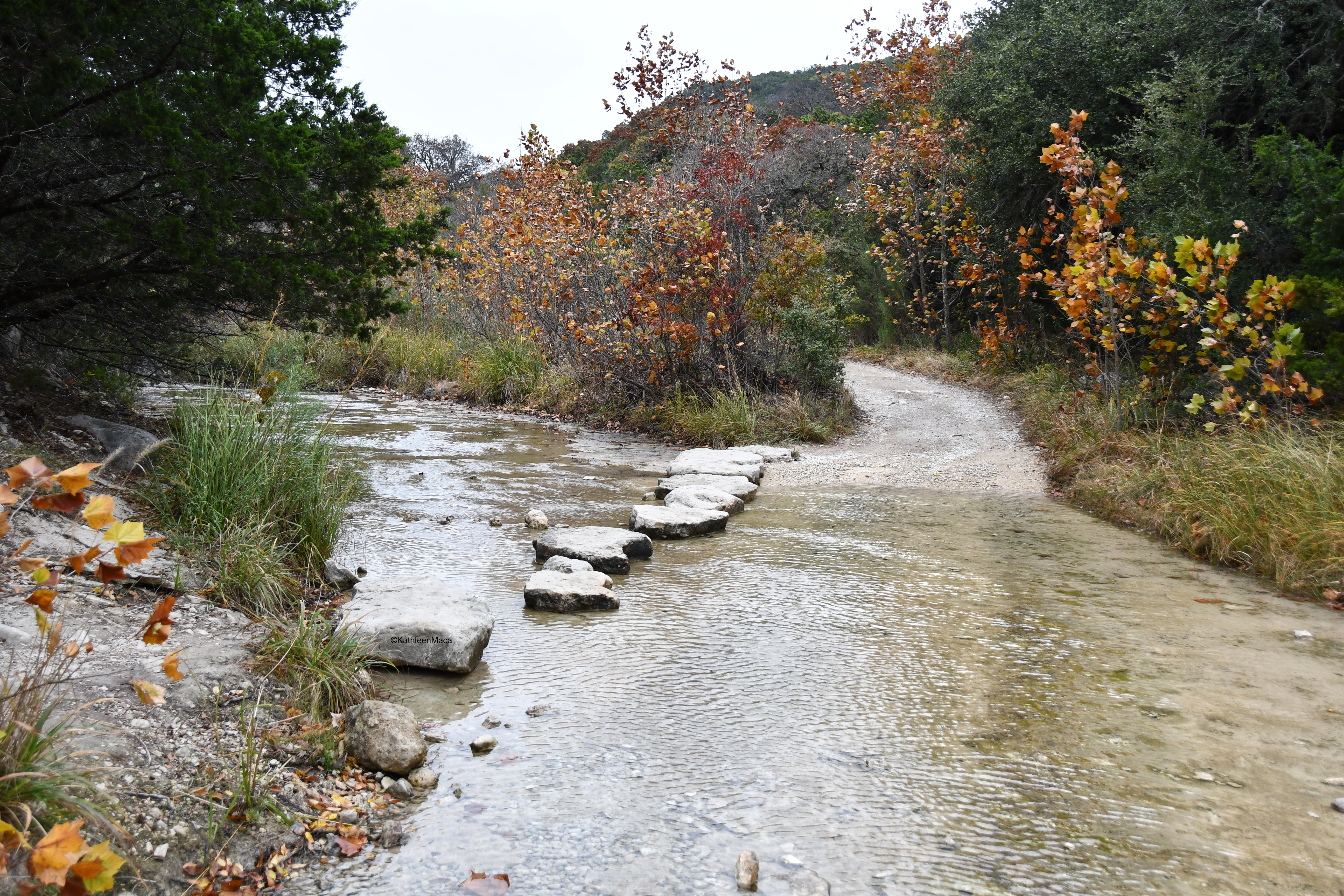
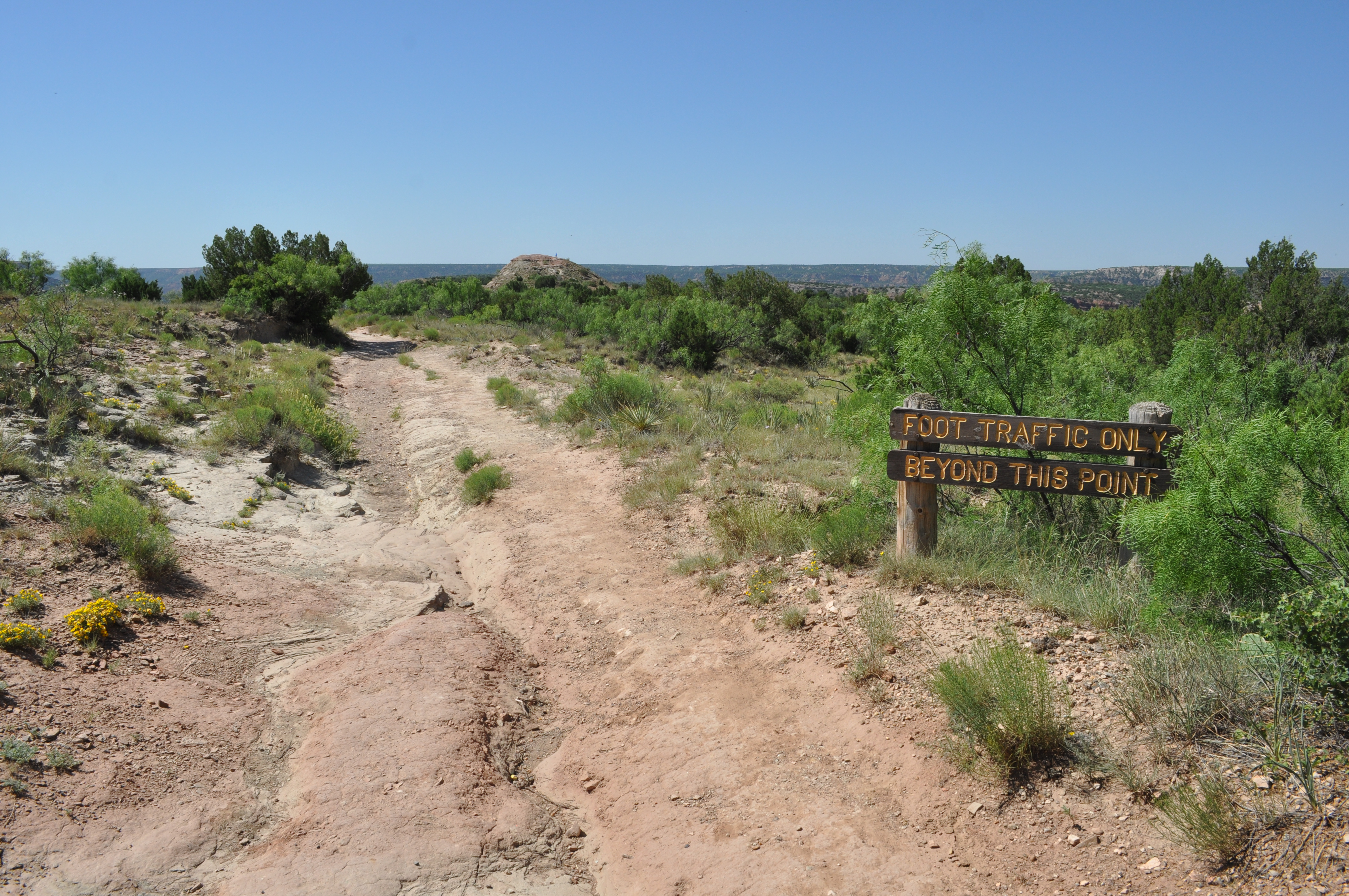
When hiking, remember to stay on the trails to preserve the natural habitat. Water can sometimes cross the trails during heavy rains.
Remember that you’re in a canyon, so don’t expect cell phone reception inside Lost Maples. It’s a great opportunity to disconnect from the world and enjoy nature.
The park only accommodates about 250 cars, so if you go during the peak season you’ll want to arrive early to claim your spot.
Weekends fill up fast with only 300 guest slots available from 8 a.m. until noon, and another 150 spots from 1 p.m. to 5 p.m. Once you’re there you can stay until 10 pm.
Here’s the secret: you can actually purchase a Save the Day pass 30 days in advance online! When I chose the dates of my visit I counted backward on my calendar and jotted myself a reminder to book as soon as the dates were able to be claimed.
As with most popular destinations, weekdays are less crowded. My friend and I went on a weekday to avoid the weekend crush and were thankful to have the trails virtually to ourselves.
Another insider tip: Though the last two weeks of October and the first two weeks of November are traditionally the height of the fall color season, this can vary from year to year due to weather patterns. Be sure to check resources like the fall foliage conditions for the most current updates. A link is here.
When you’re ready to satisfy that appetite you’ve earned after a wonderful day of hiking and exploring, check out the nearby Lost Maples Café in Vanderpool. Click the name for more details.
My only regret is that Lost Maples was on my wish list of destinations for so long before I actually made time to go. Now I can’t wait to go back and take others along!
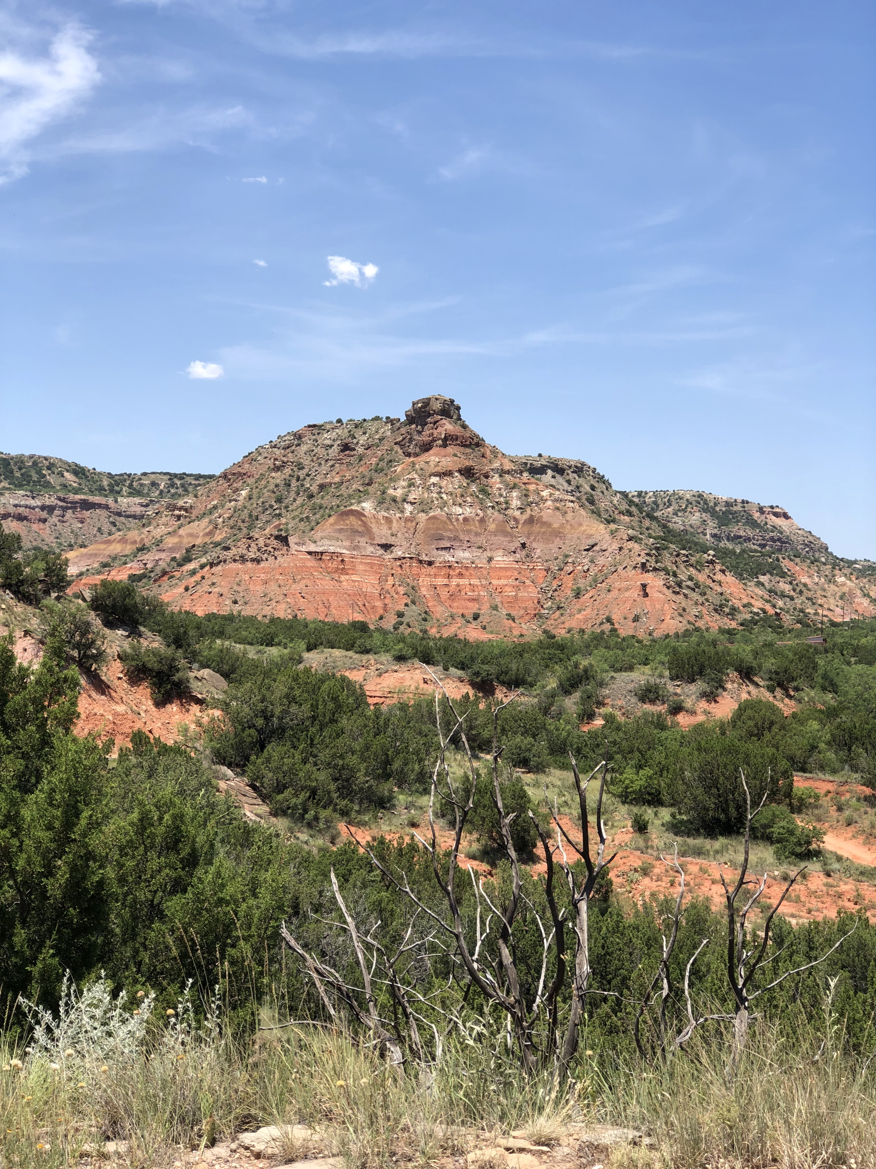
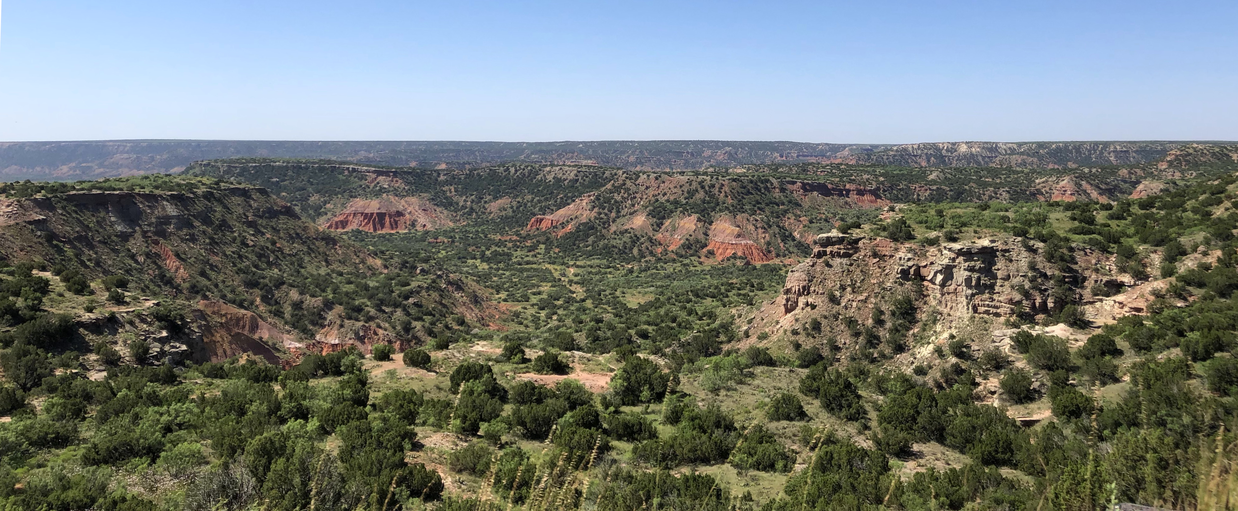
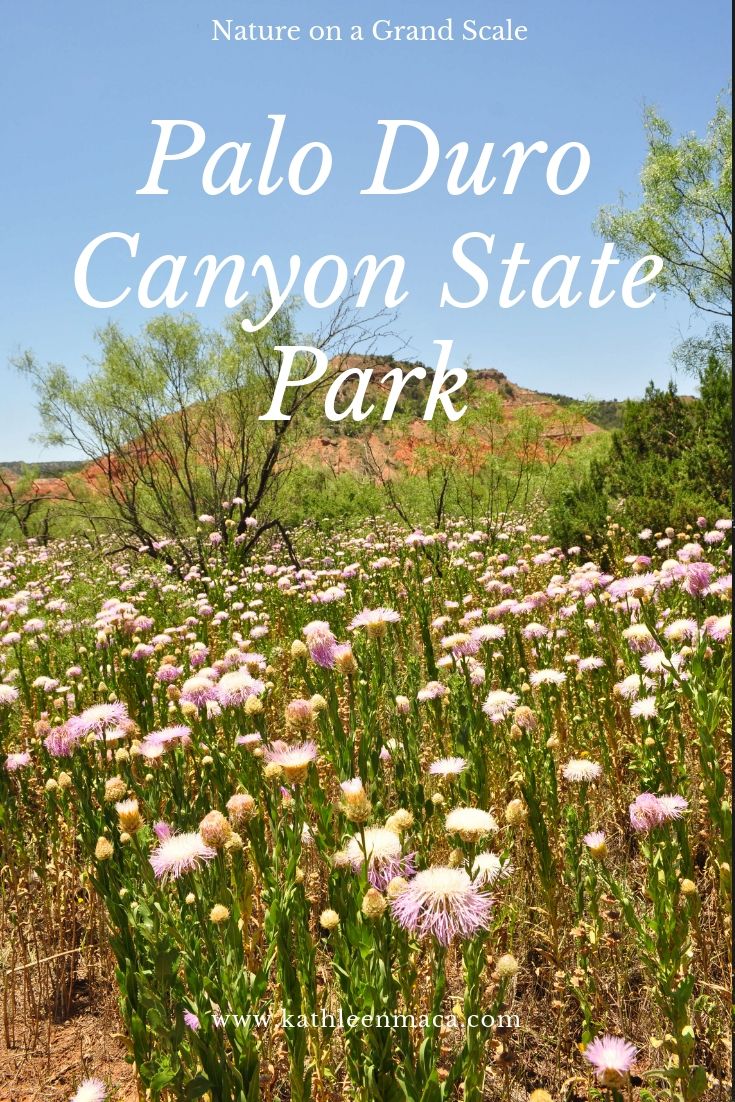
I thought that when people referred to Palo Duro as the “Grand Canyon of Texas” they were probably overstating things . . . until I saw it for myself.
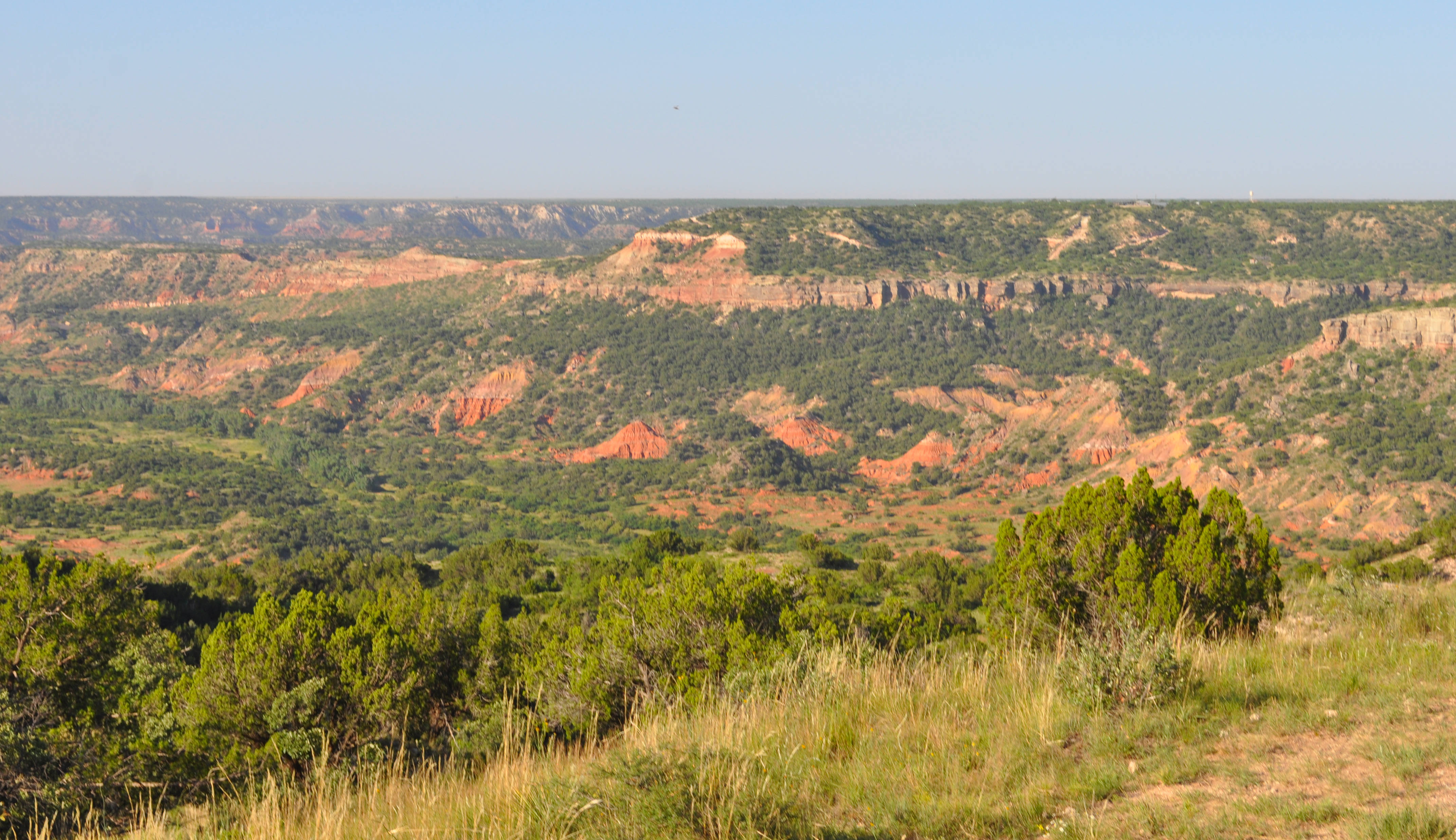
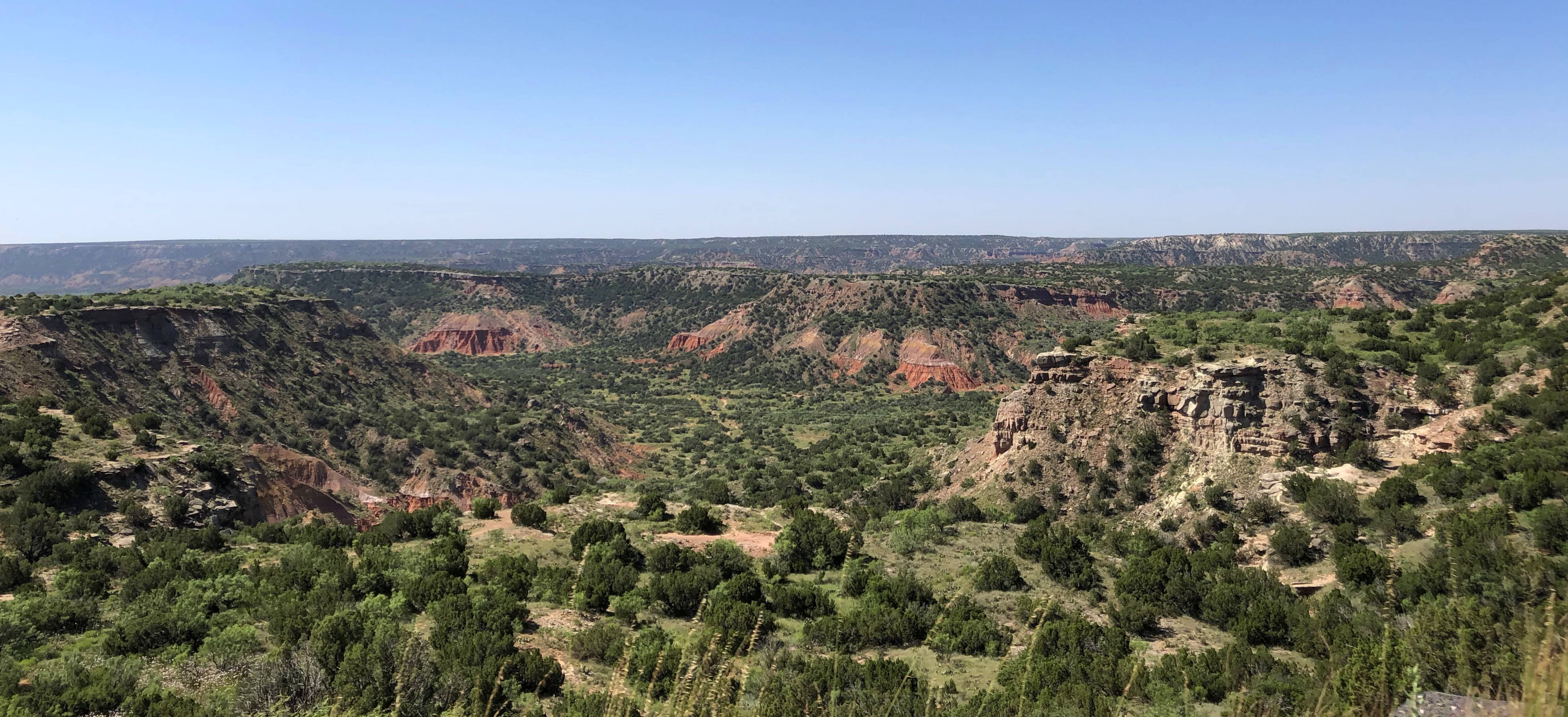
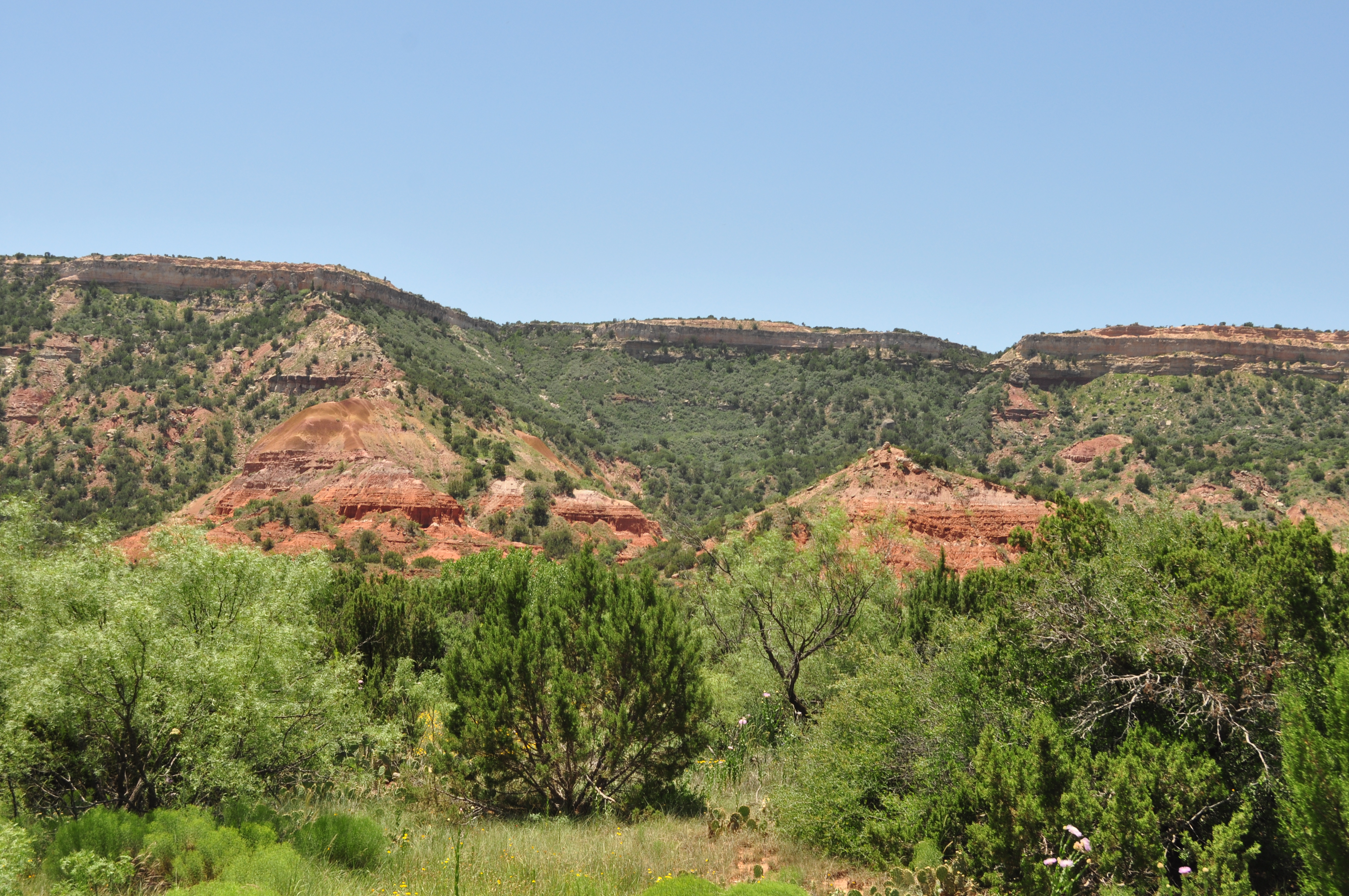
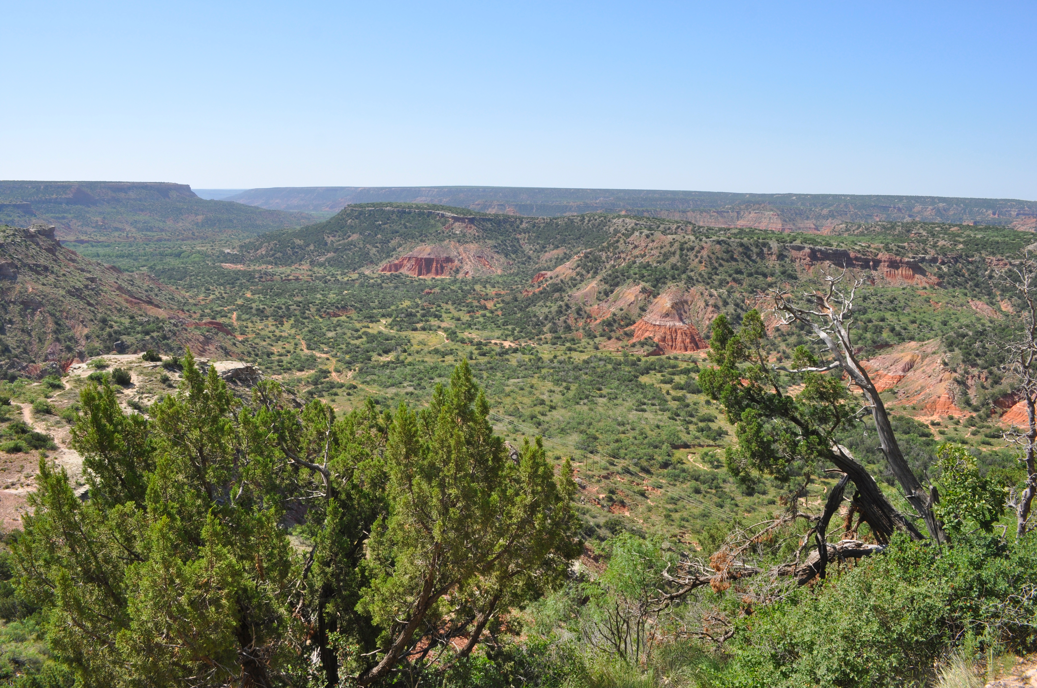
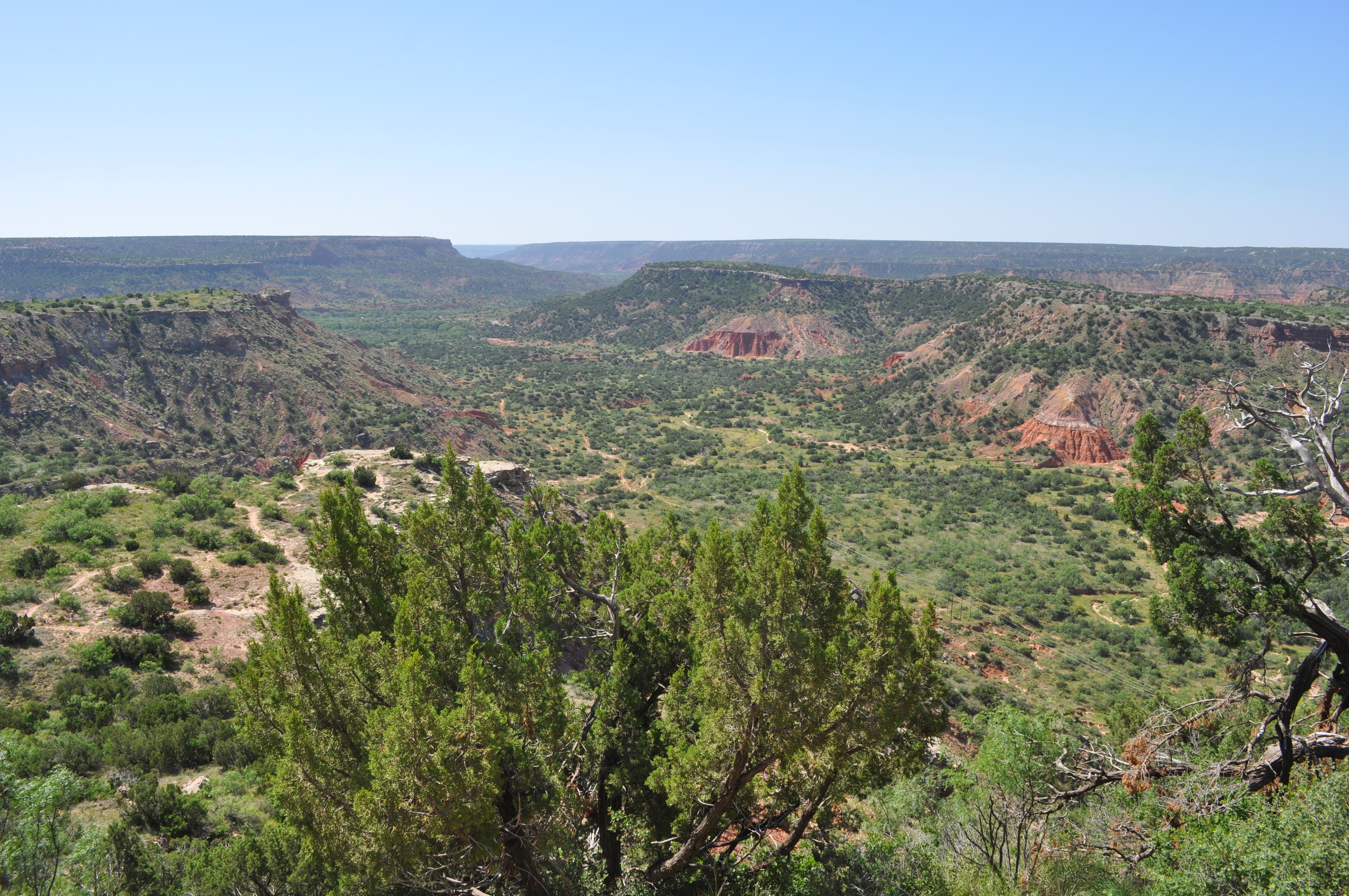
The second largest canyon in the United States, Palo Duro is 120 miles long, 20 miles wide and up to 820 feet deep. It’s the second largest park in the state park system – 28,000 acres (over 45 square miles) with 28 miles of hiking, biking and horse trails. That’s a lot of territory!
People have inhabited the canyon for about 12,000 years, and its history includes exciting chapters like Comanches and the Goodnight Trail. But This time around our family just focused on the absolute beauty of nature.
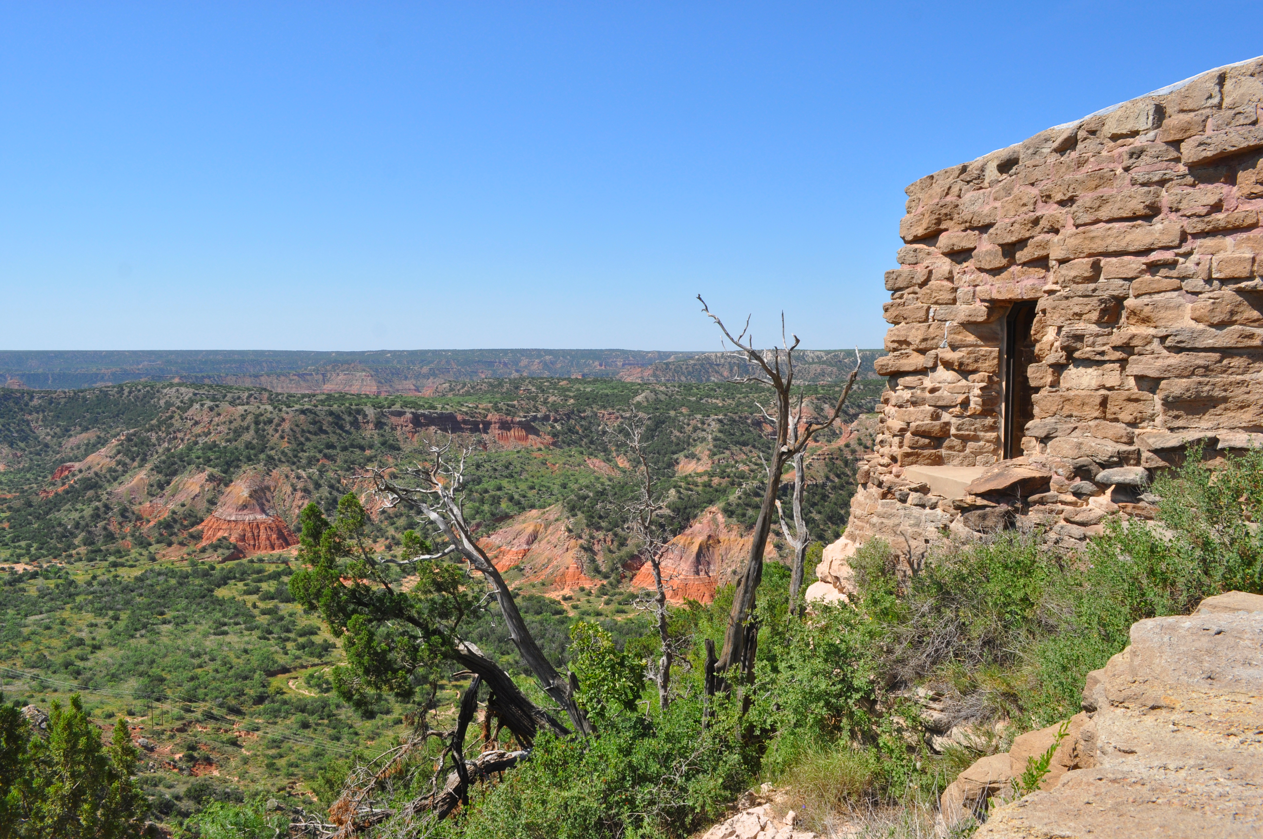
Texas bought the land for the park in 1933. Civilian Conservation Corps workers spent five years creating the park, a cabin for their home base, the winding road to the canyon floor, the CCC Trail, and the El Coronado Lodge (now the Visitor Center). The craftsmen used local stone and wood for building materials and furniture, and forged decorative metal ornaments.
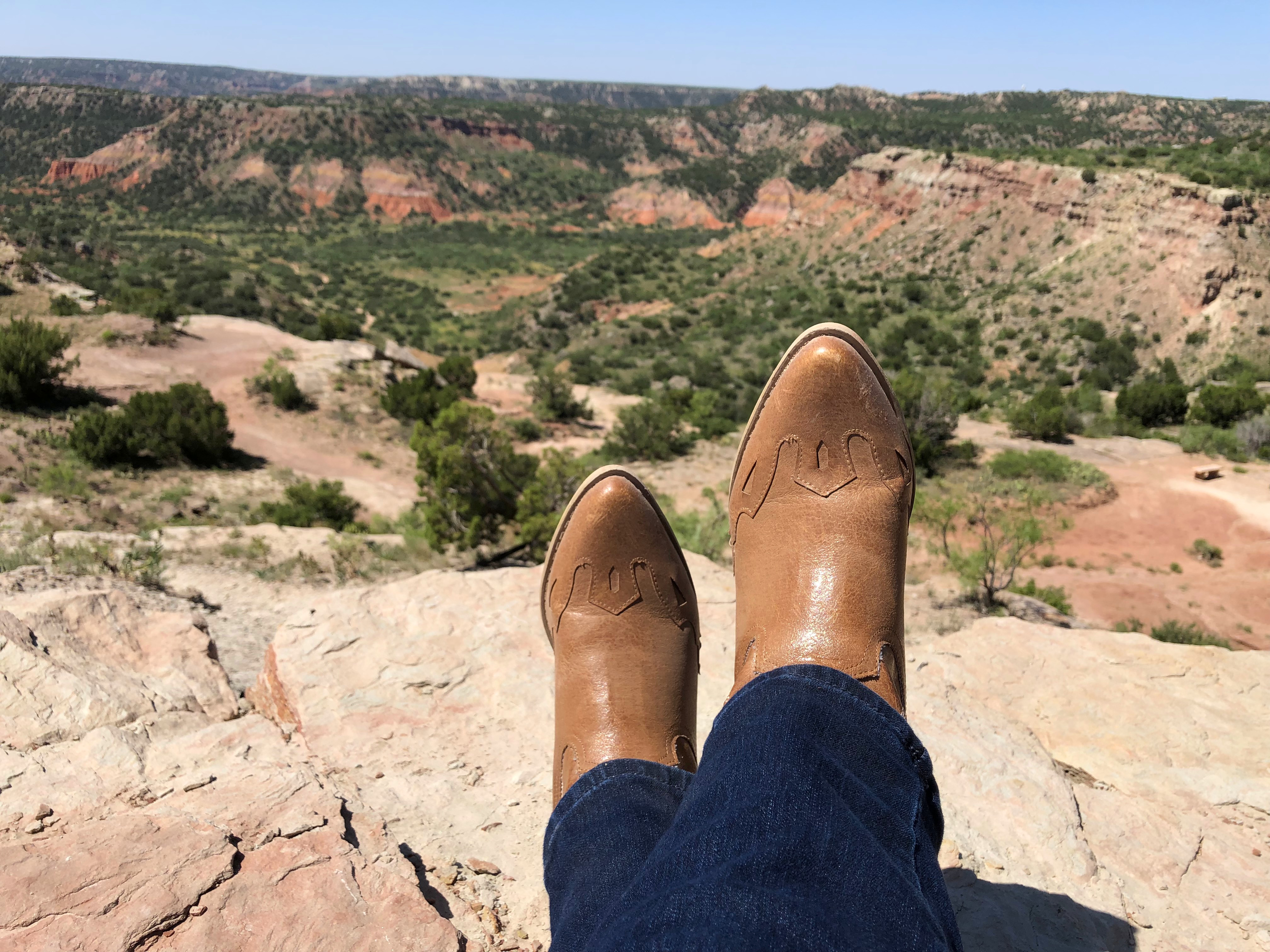
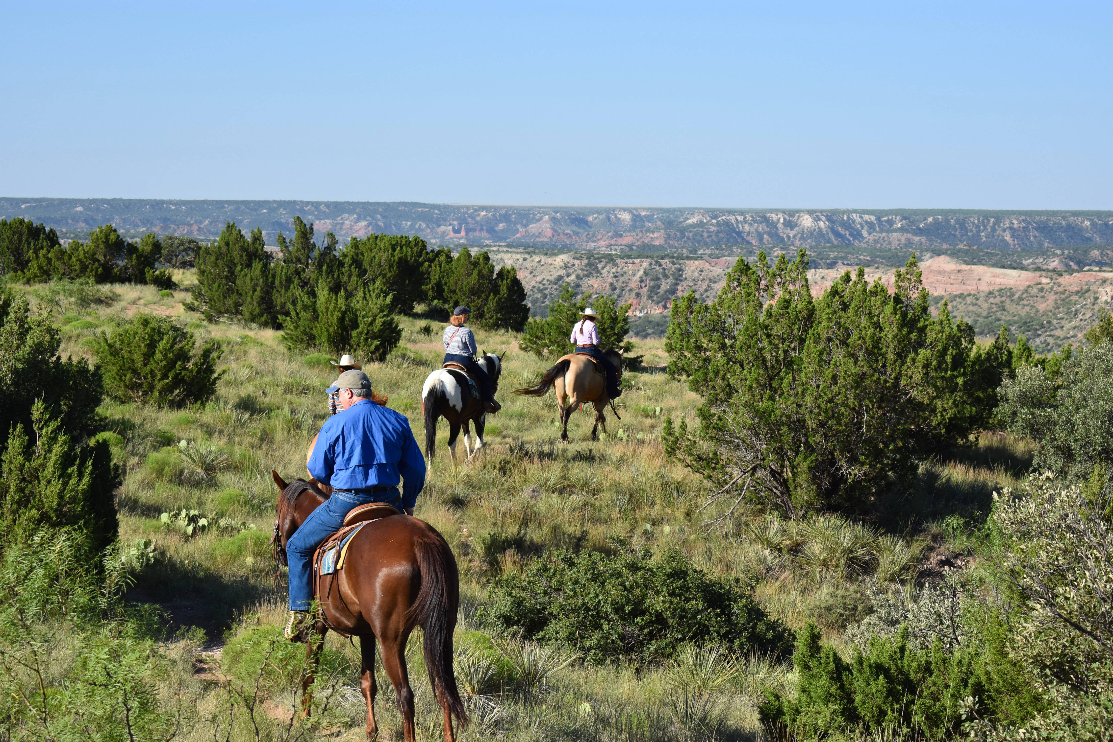
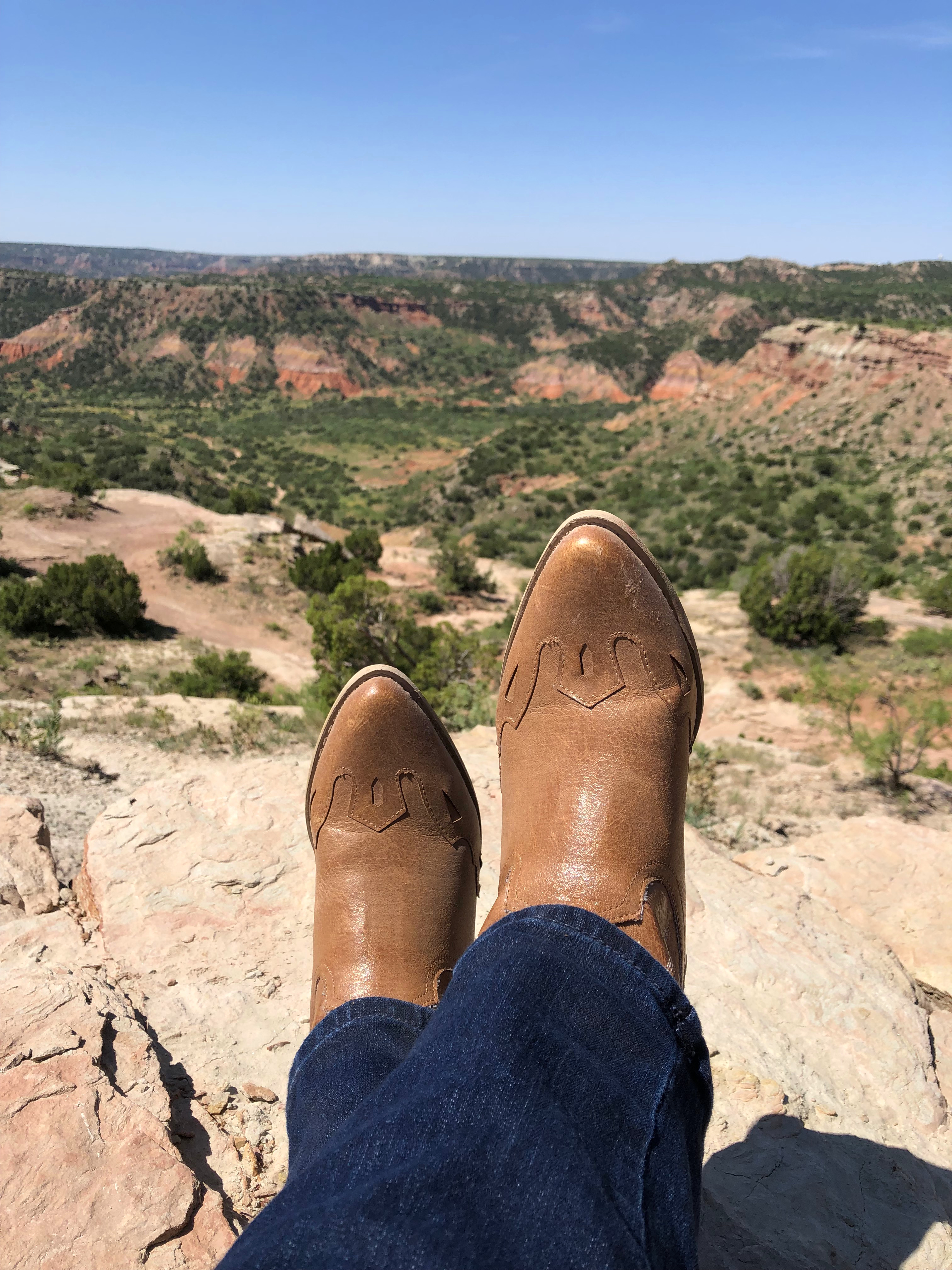
Boots were definitely more appropriate for riding horses than walking the canyon!
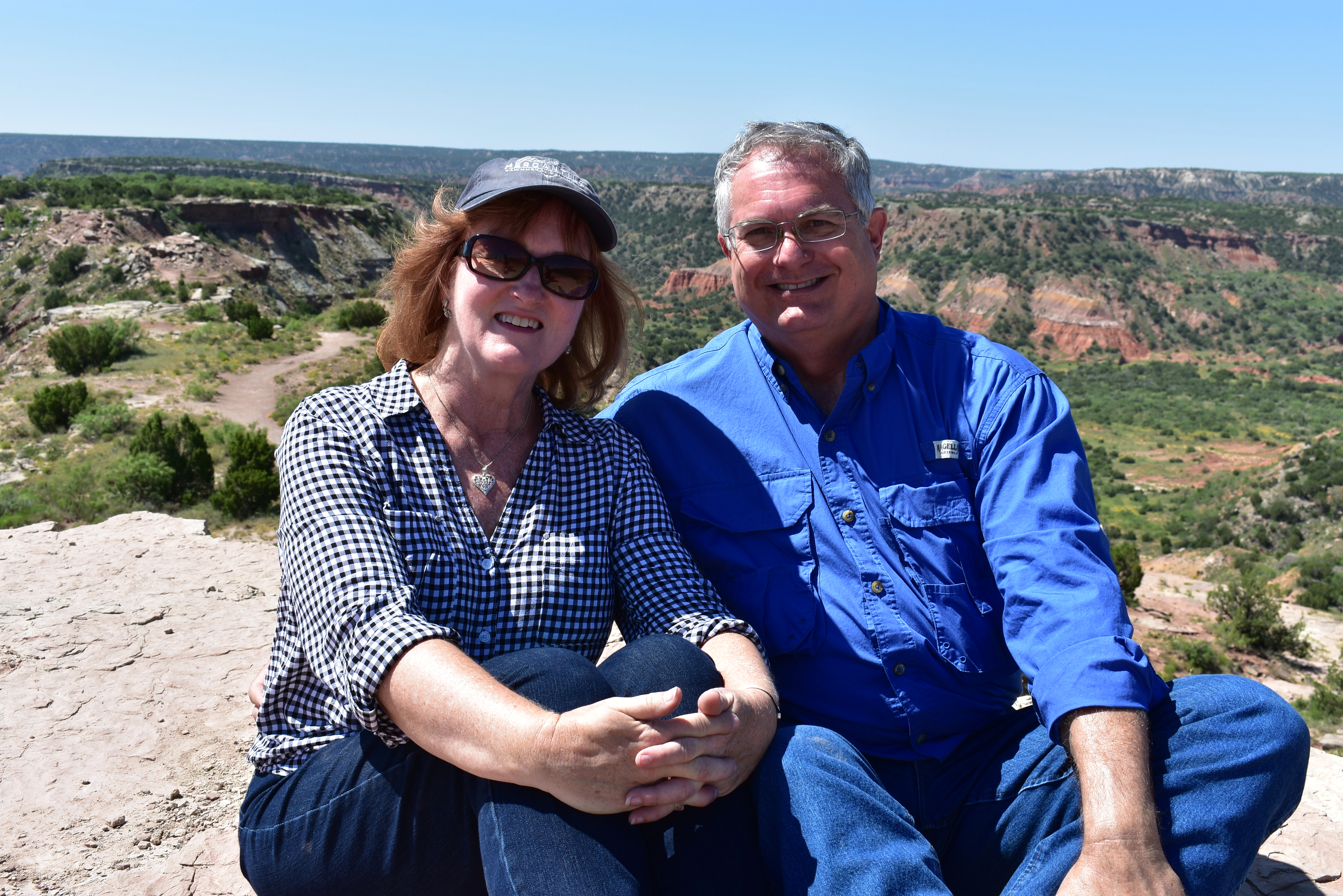
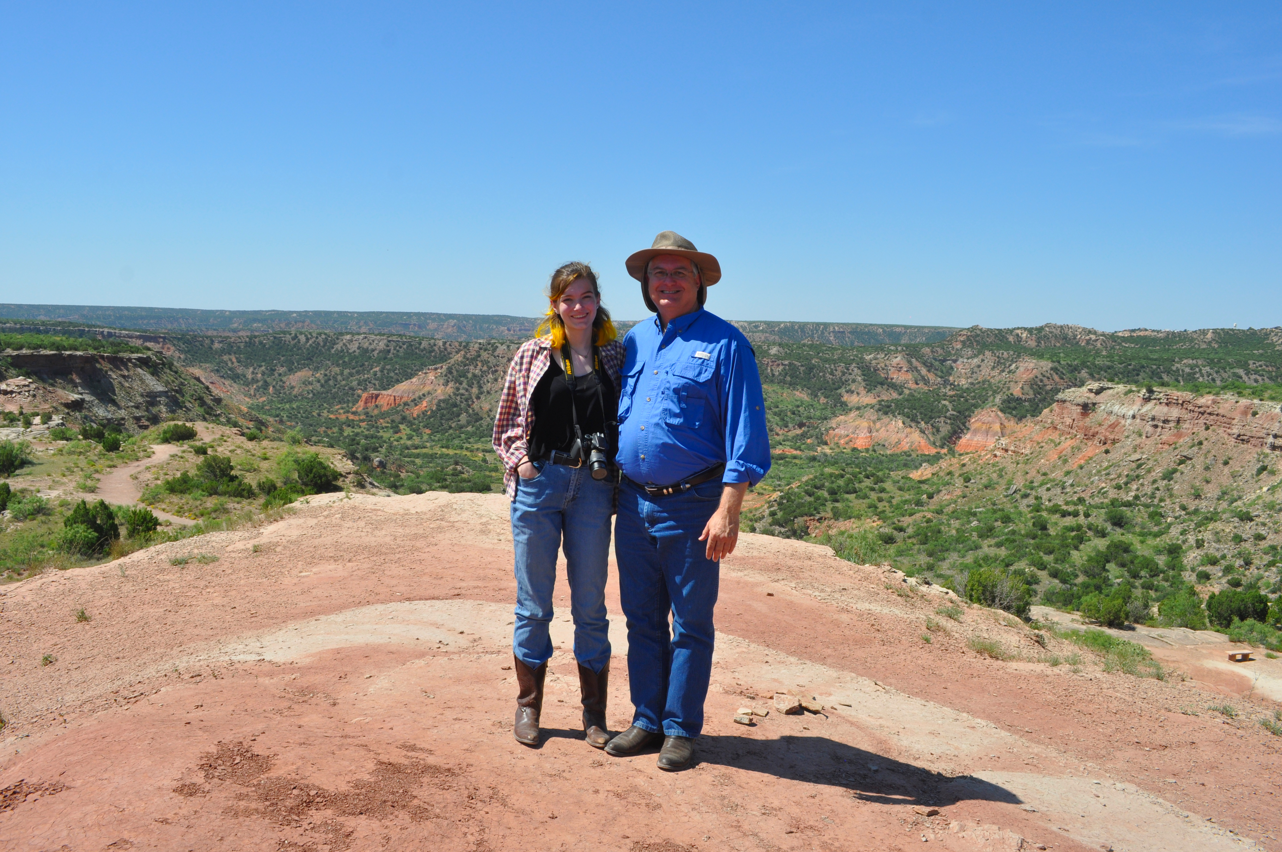
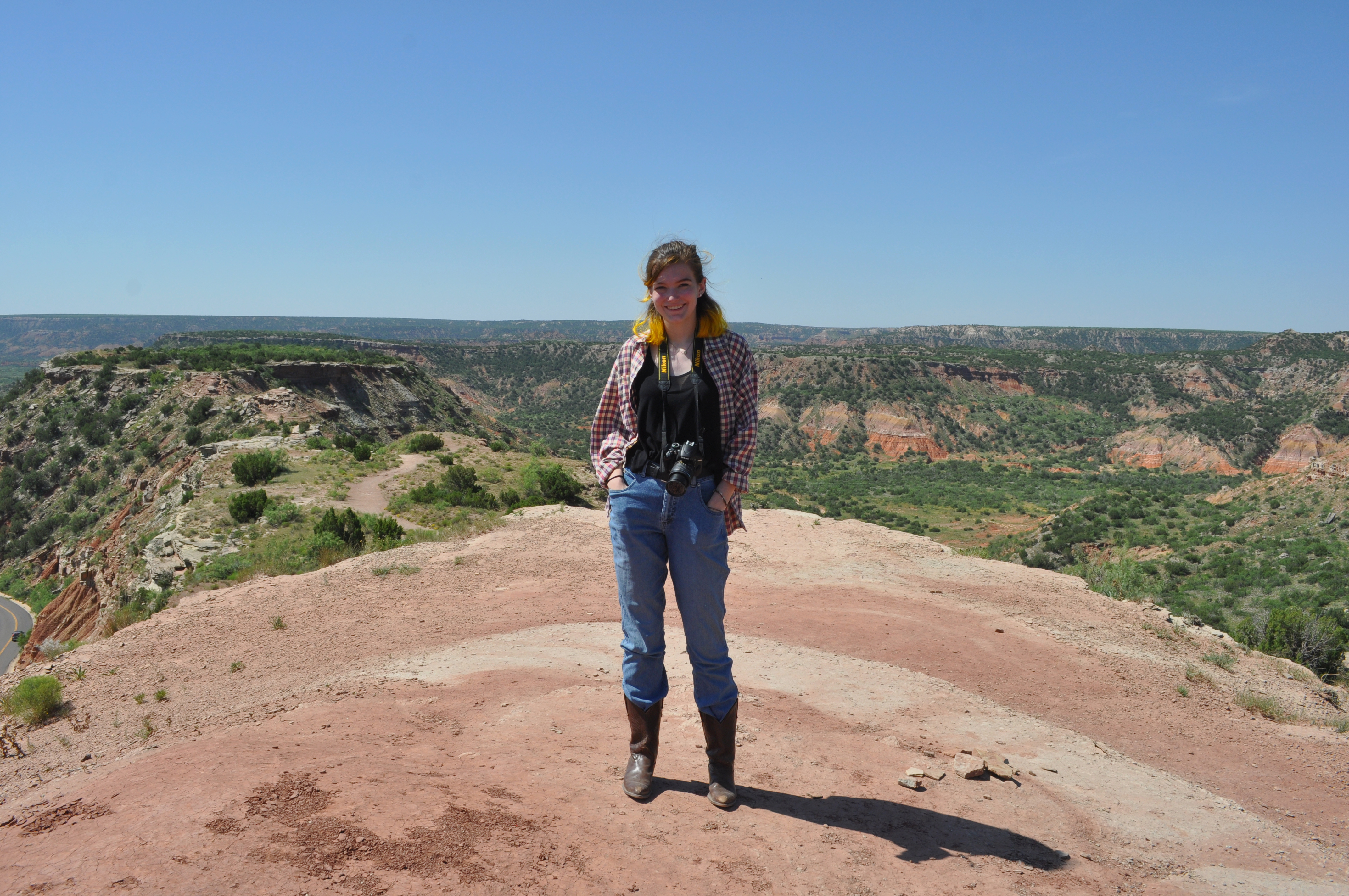
After our morning ride along the rim of Palo Duro Canyon (more about that in my last post) we headed to the state park, ready to see more of the stunning scenery. Initially, we intended to swing in for a short visit since we knew the clothes we were wearing (long sleeved shirts, jeans and boots) were perfect for riding, but not for hiking. Once there though, the views lured us further and further into the canyon, anxious to see what was next.
Just a couple of miles inside the entrance, we made our first stop at the visitor’s center (the original the El Coronado Lodge) that was built by the CCC, so it was fitting that exhibits included some fascinating relics of the Corps’ days in the canyon. There’s also a small gift shop, though I’ll mention a more “souvenir-y” option later in this post.
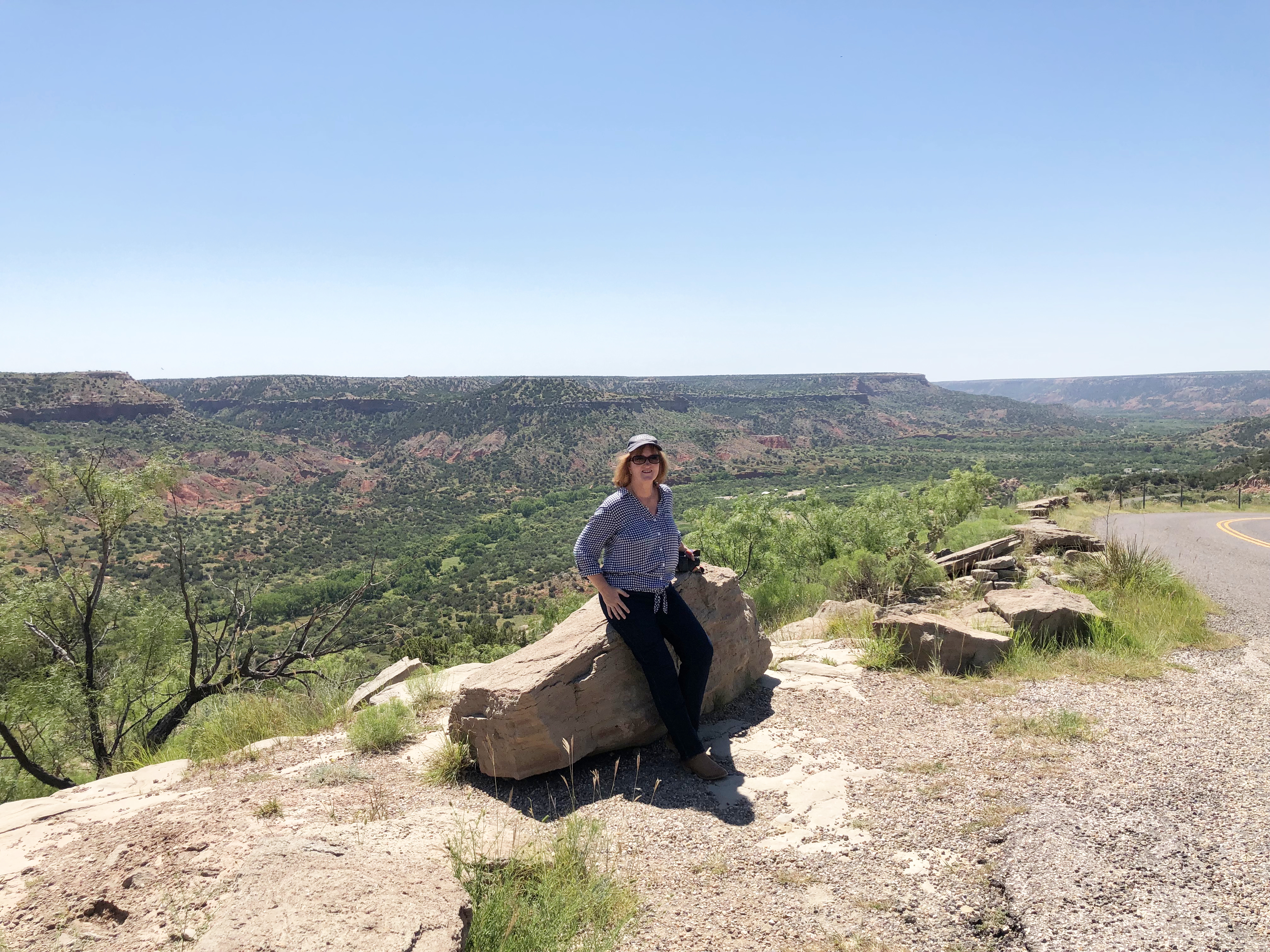
The vistas from the vantage point outside of the lodge were so enchanting, we knew we had to go at least a bit further into the park.
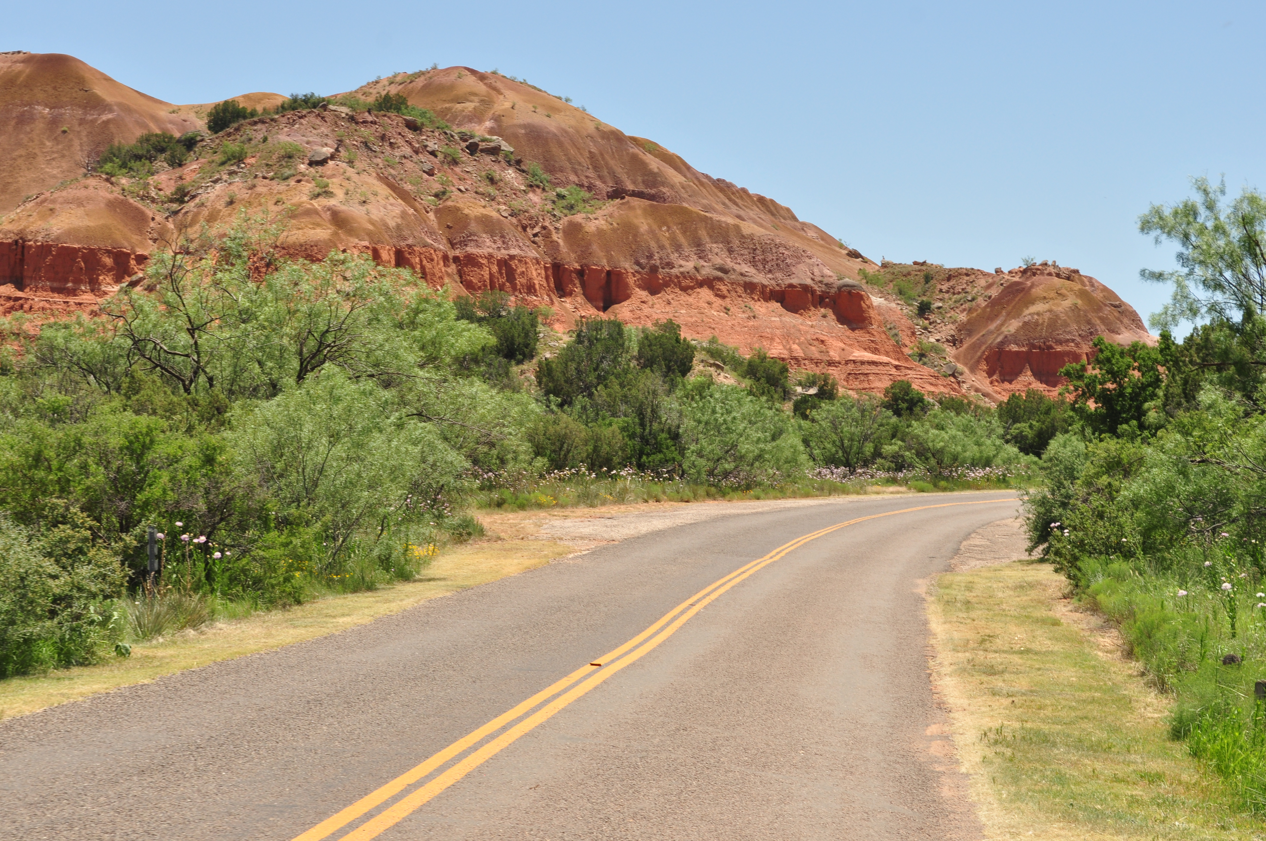
We took Park Road 5 which winds down to the canyon floor, circles clockwise in a 16 mile loop and slowly climbs back up to the rim.
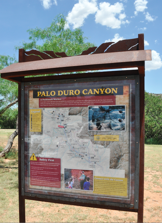
Be sure to pick up a copy of a map of the canyon and its trails before leaving the Visitor Center.
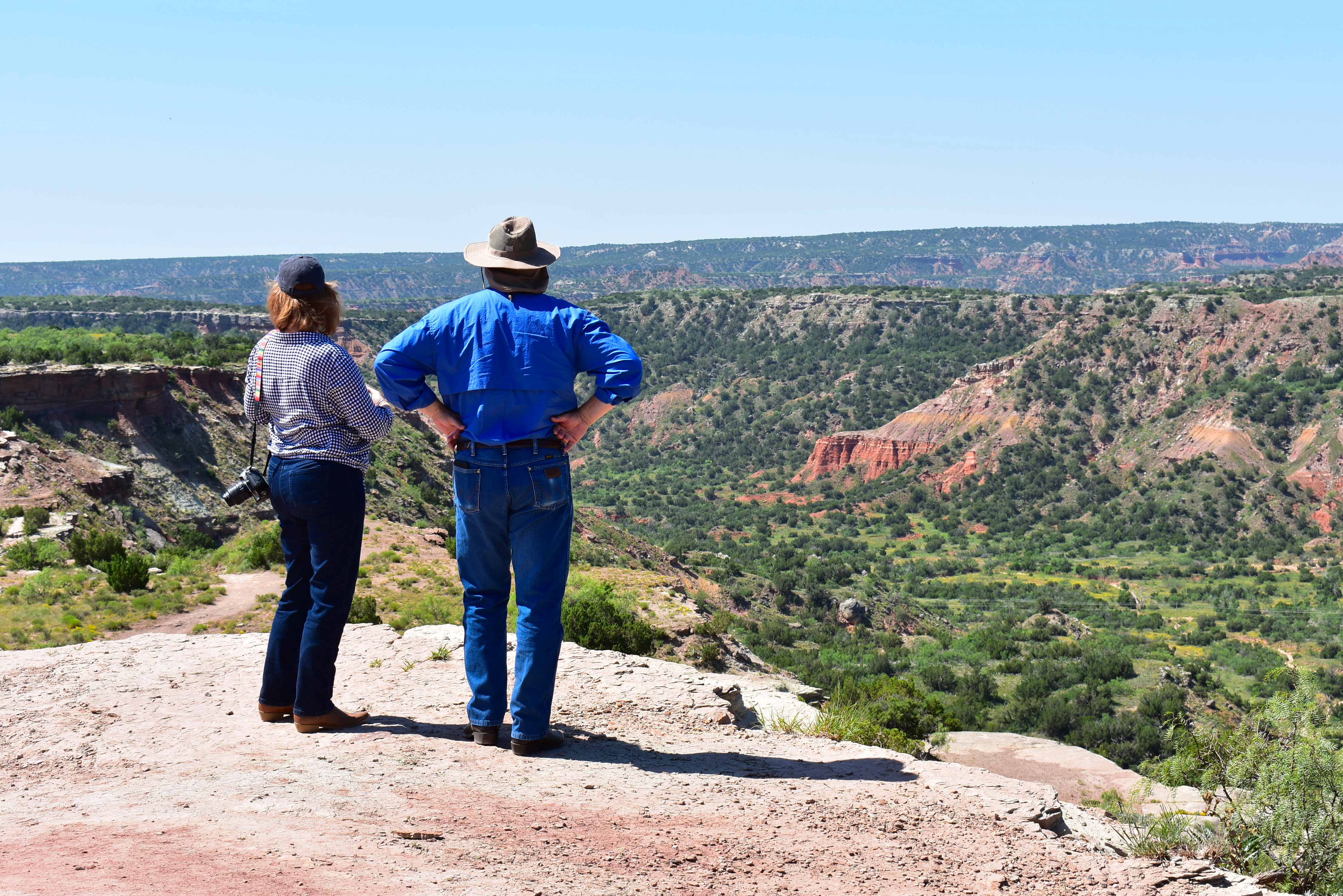
The first, short trail we ventured out on was relatively easy, but it was quickly apparent that at 11:00 a.m. it was already too hot (in addition to inappropriate clothing) for us to take on any of the longer trails. We were still fairly close to the rim, and the canyon floor would be about twenty degrees hotter!
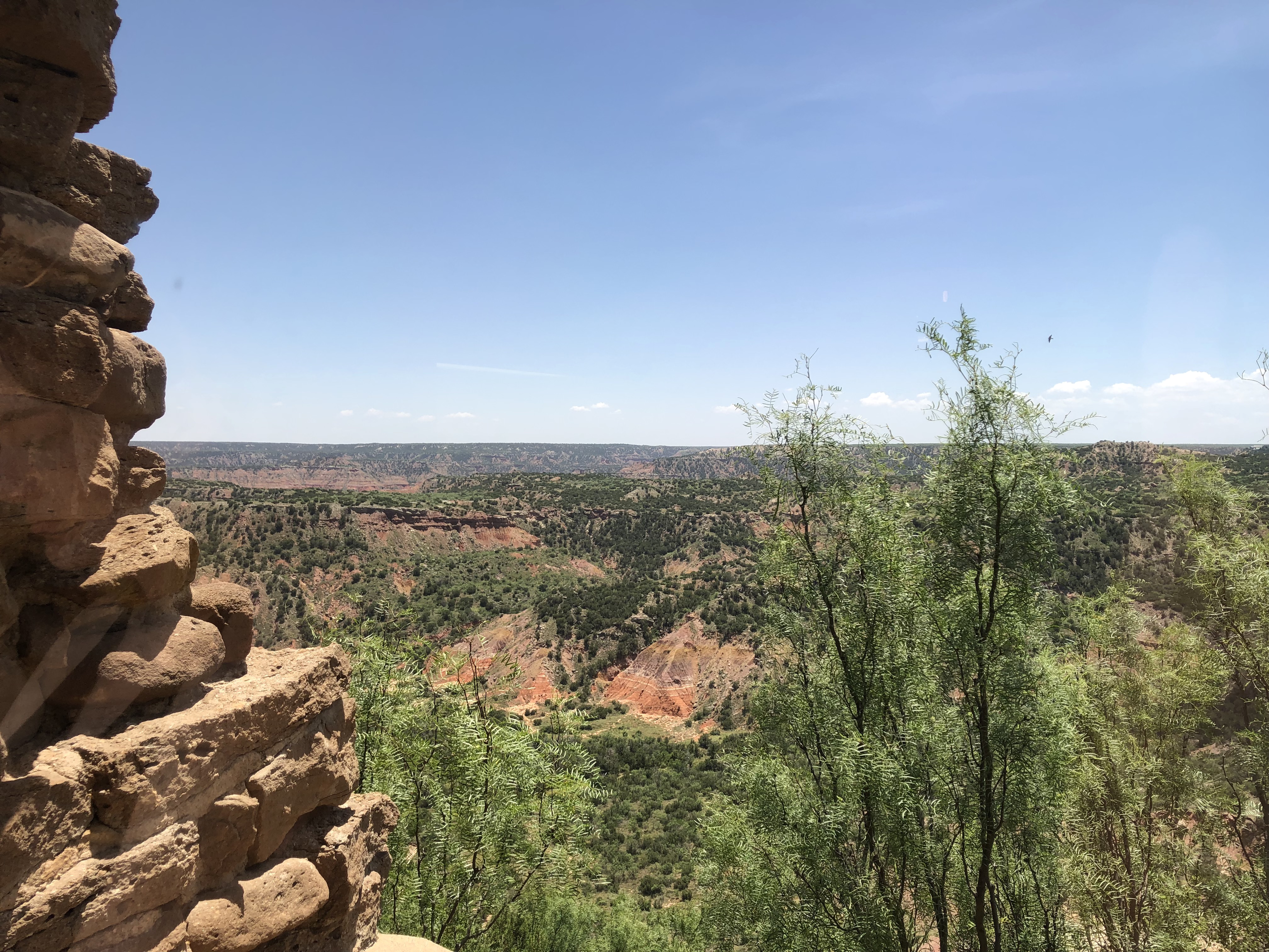
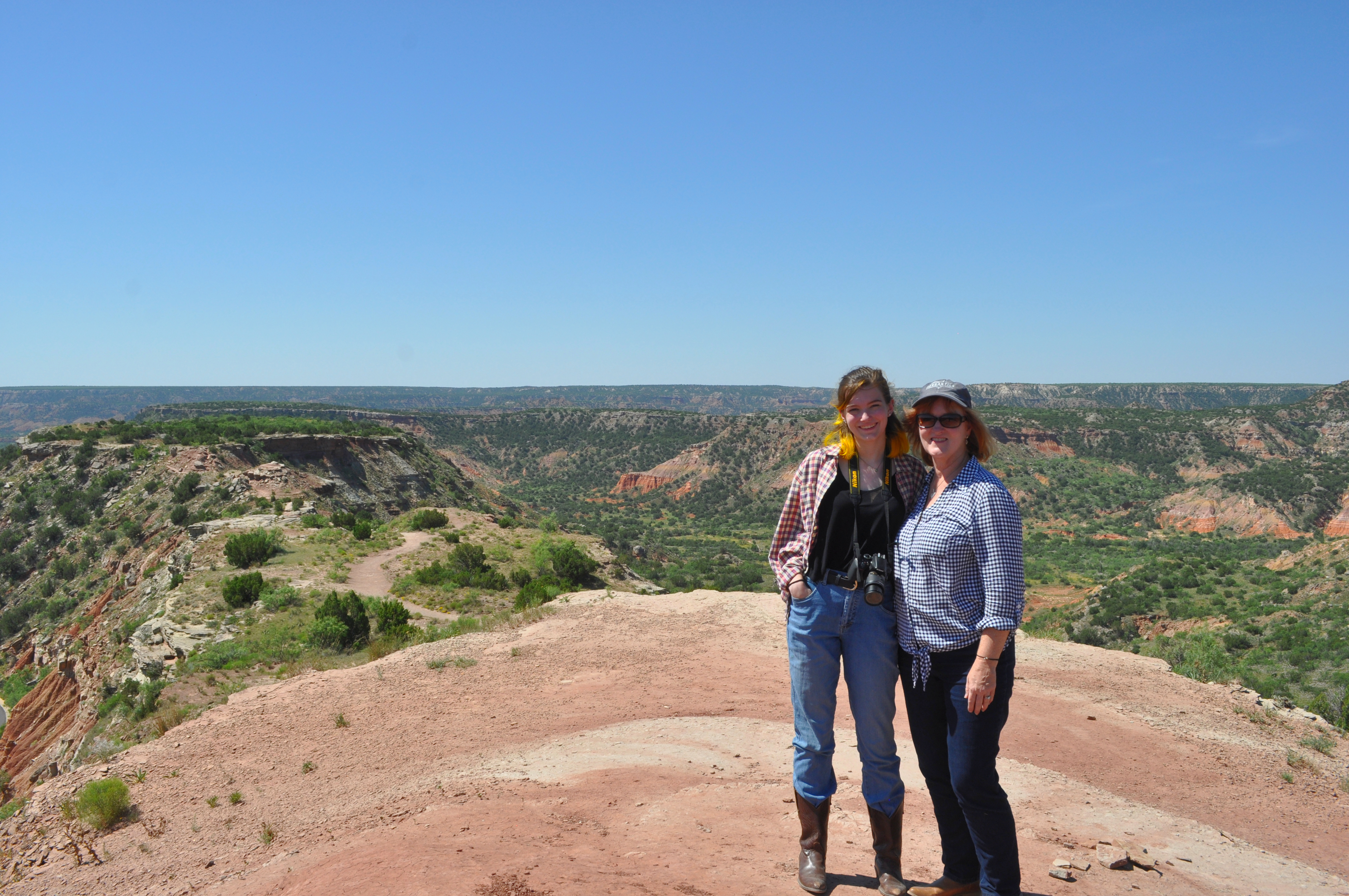
The view from even the least challenging trails are more than worth the effort and heat!
Each one we investigated offered increasingly impressive scenery.
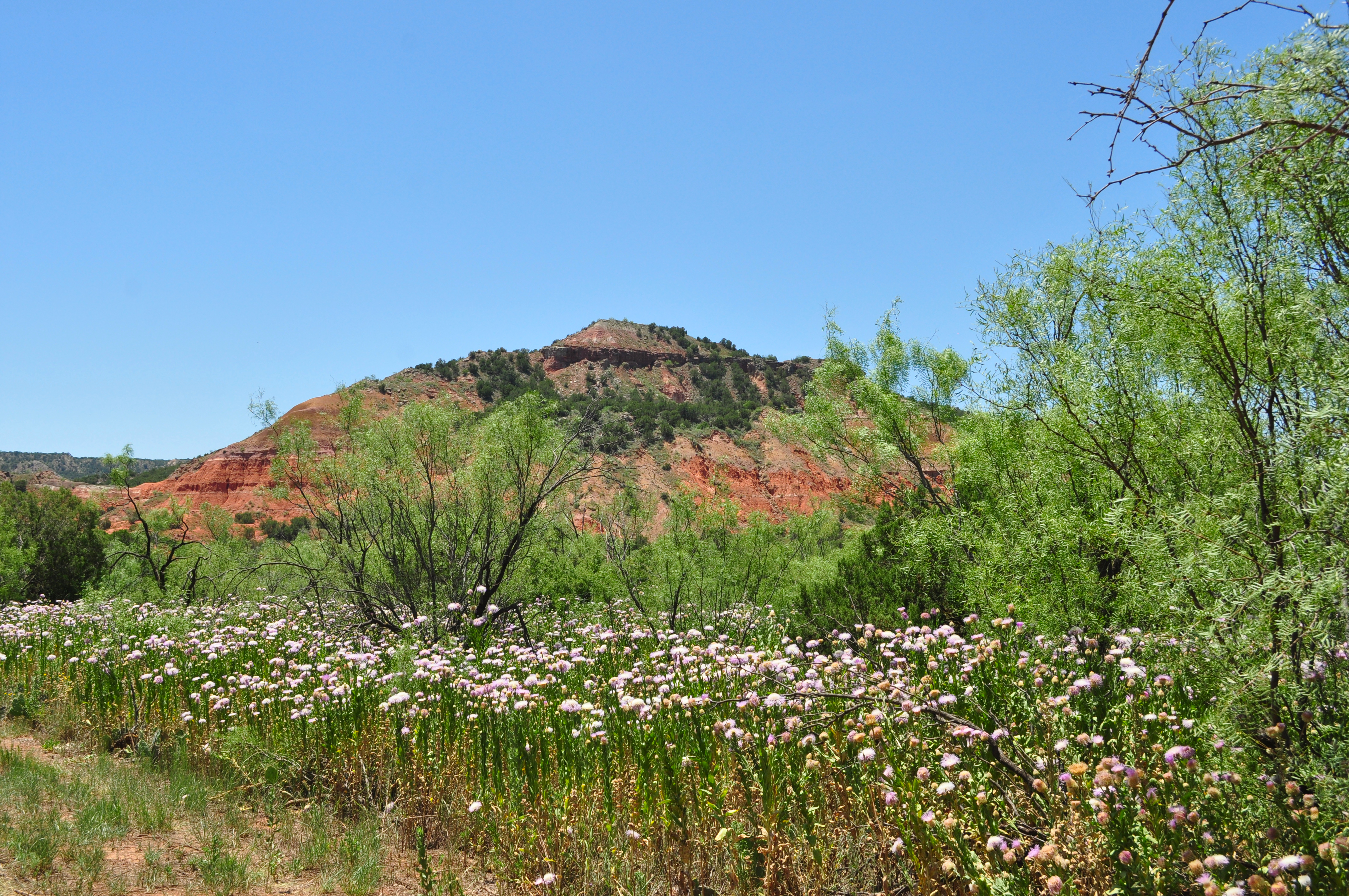
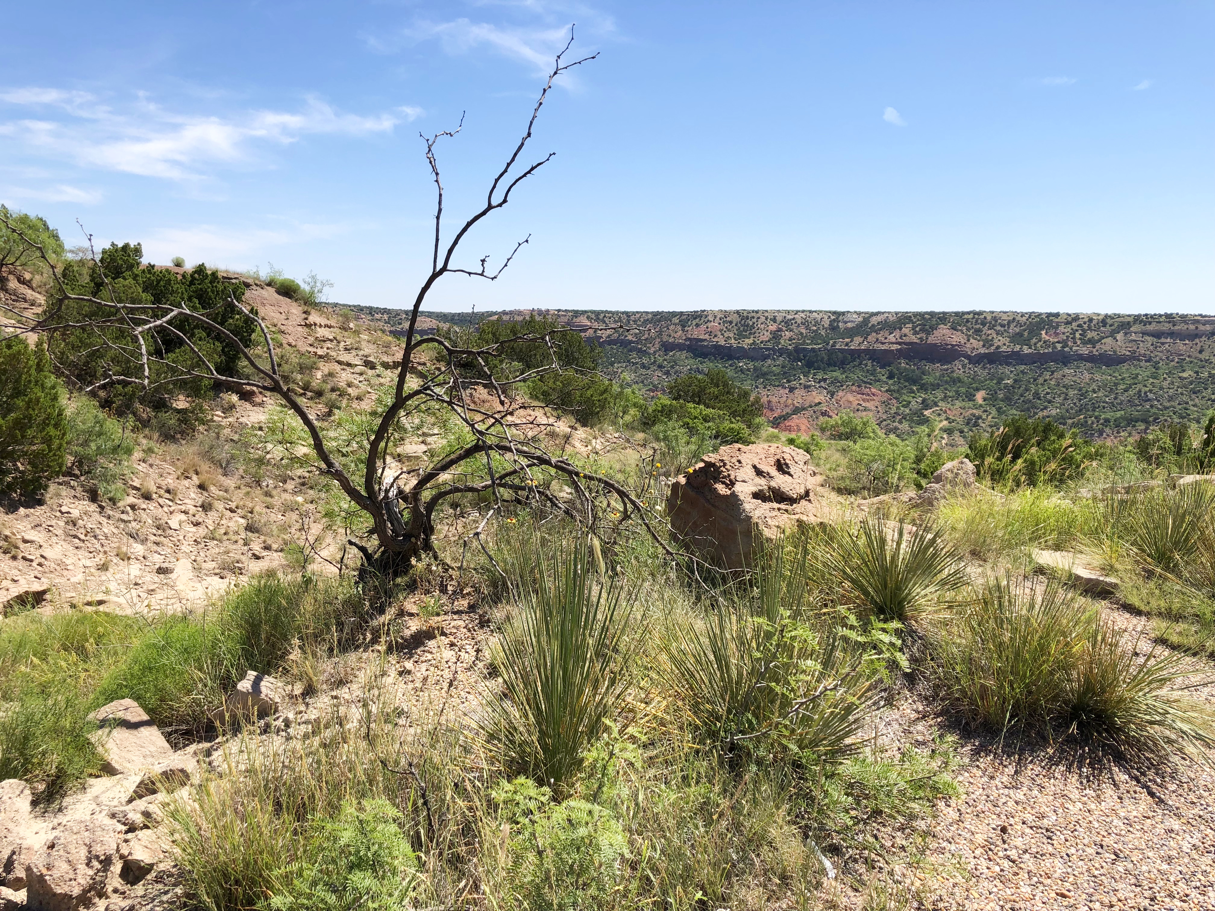
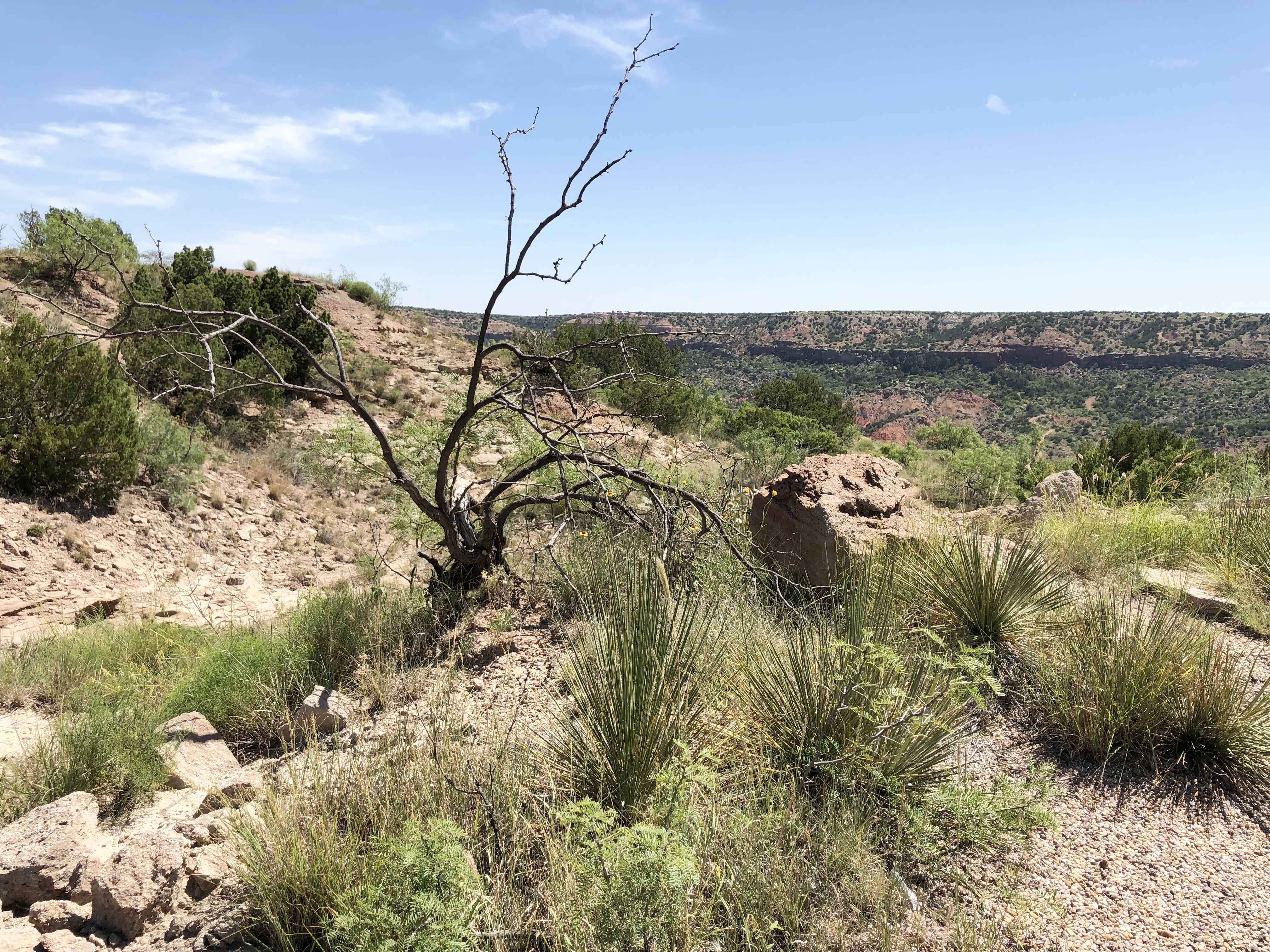
Some of the trails were quite rocky and others were red dirt that I would have expected more in Oklahoma.
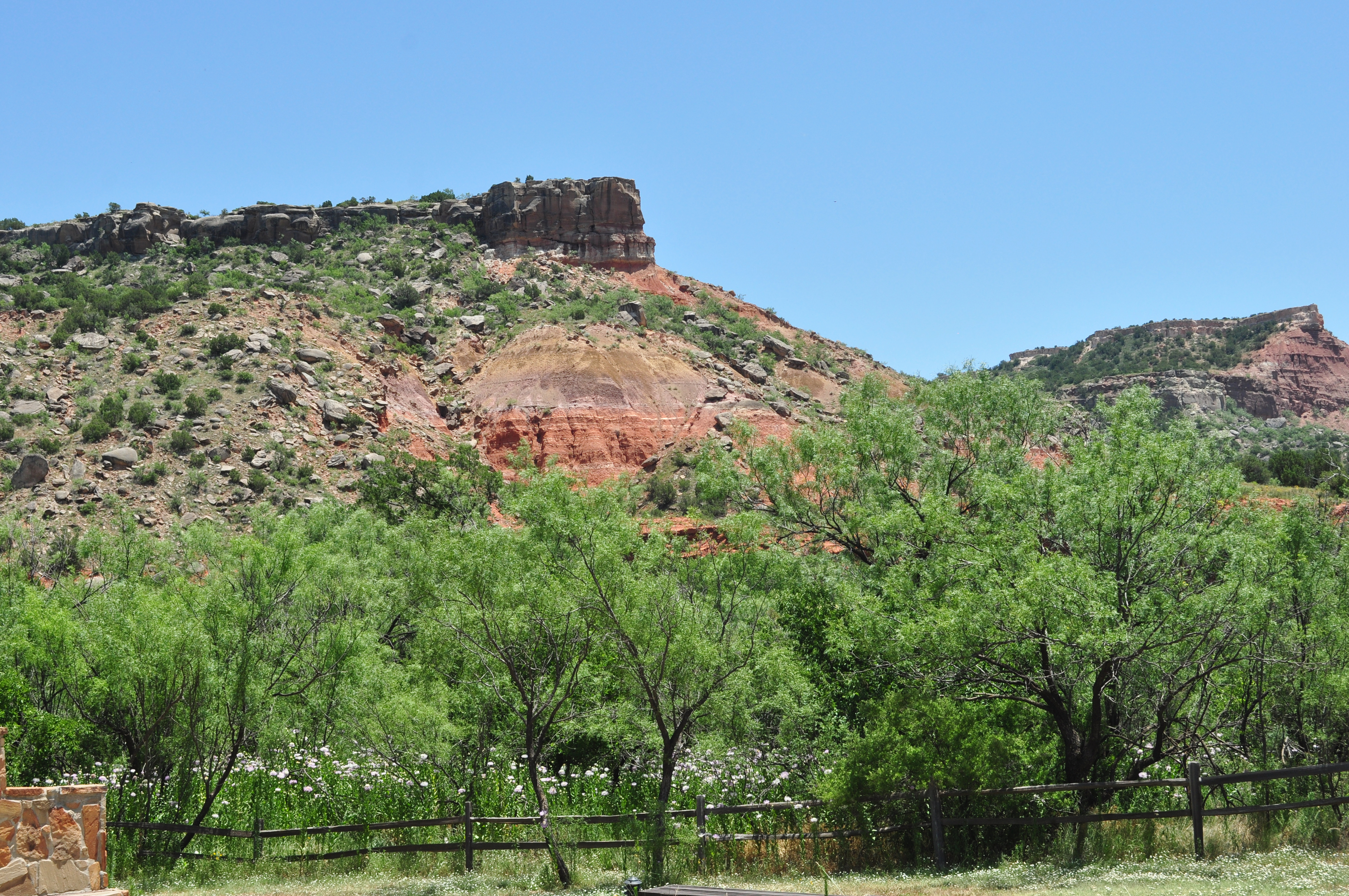
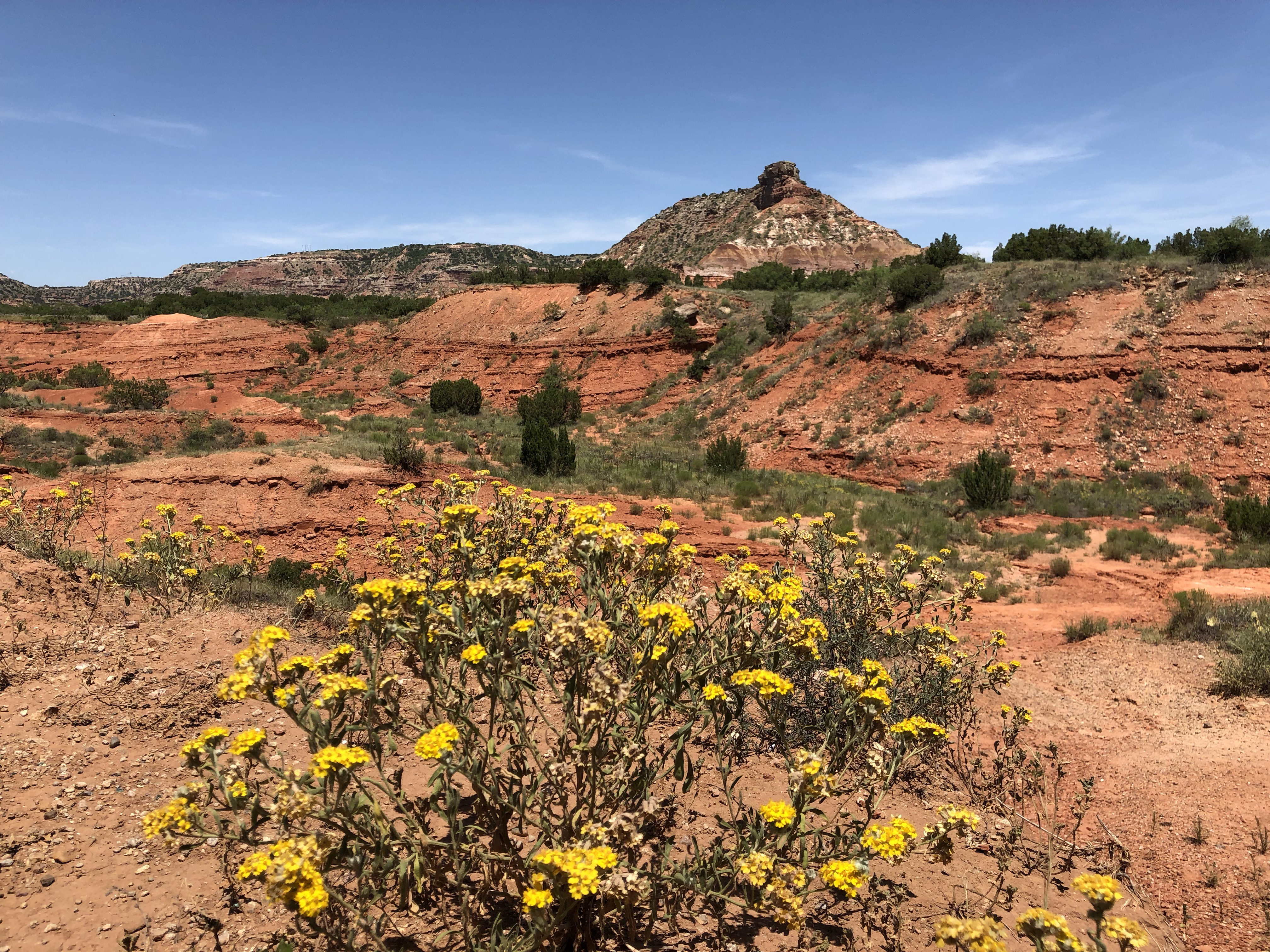
Four geologic layers are exposed on the canyon walls, that seem to change color depending on the time of day and season of year – just one of the reasons Palo Duro draws so many amateur and professional photographers.
Once I heard the erosion features referred to as “Mexican skirts” it was hard to get that image out of my mind. It’s really appropriate, don’t you think?
“Mexican Skirt” erosion feature
The park provides enough diversity in its habitats to be a comfortable home to quite a variety of wildlife, in addition to part of the state herd of longhorns. Coyotes, bobcats, white-tailed and mule deer, and many species of snakes and lizards. We saw several roadrunners darting across the terrain, which reminded me of living in El Paso when I was little – and the birds seemed to be everywhere.
Palo Duro Mouse…look at those adorable ears! Photo courtesy of WTAMU.Lots of creatures large and small make their homes in the canyon.
You might even spot some wild turkeys. Did you know that a group of turkeys is called a “rafter?” There’s your trivia for the day!
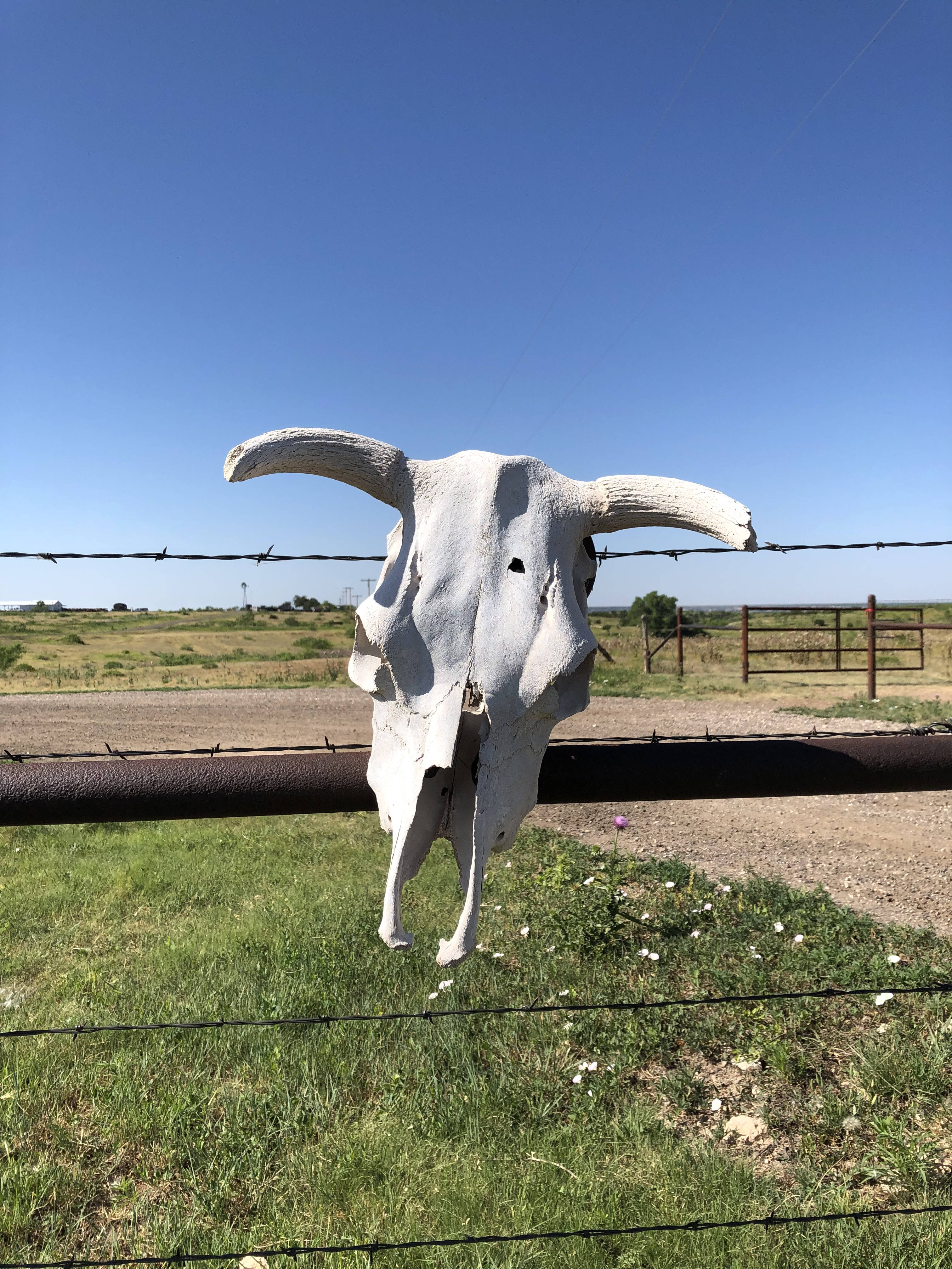
Two threatened species also live in the canyon: the Palo Duro mouse (which only lives in three Texas counties) and the Texas horned lizard (the State Reptile of Texas).
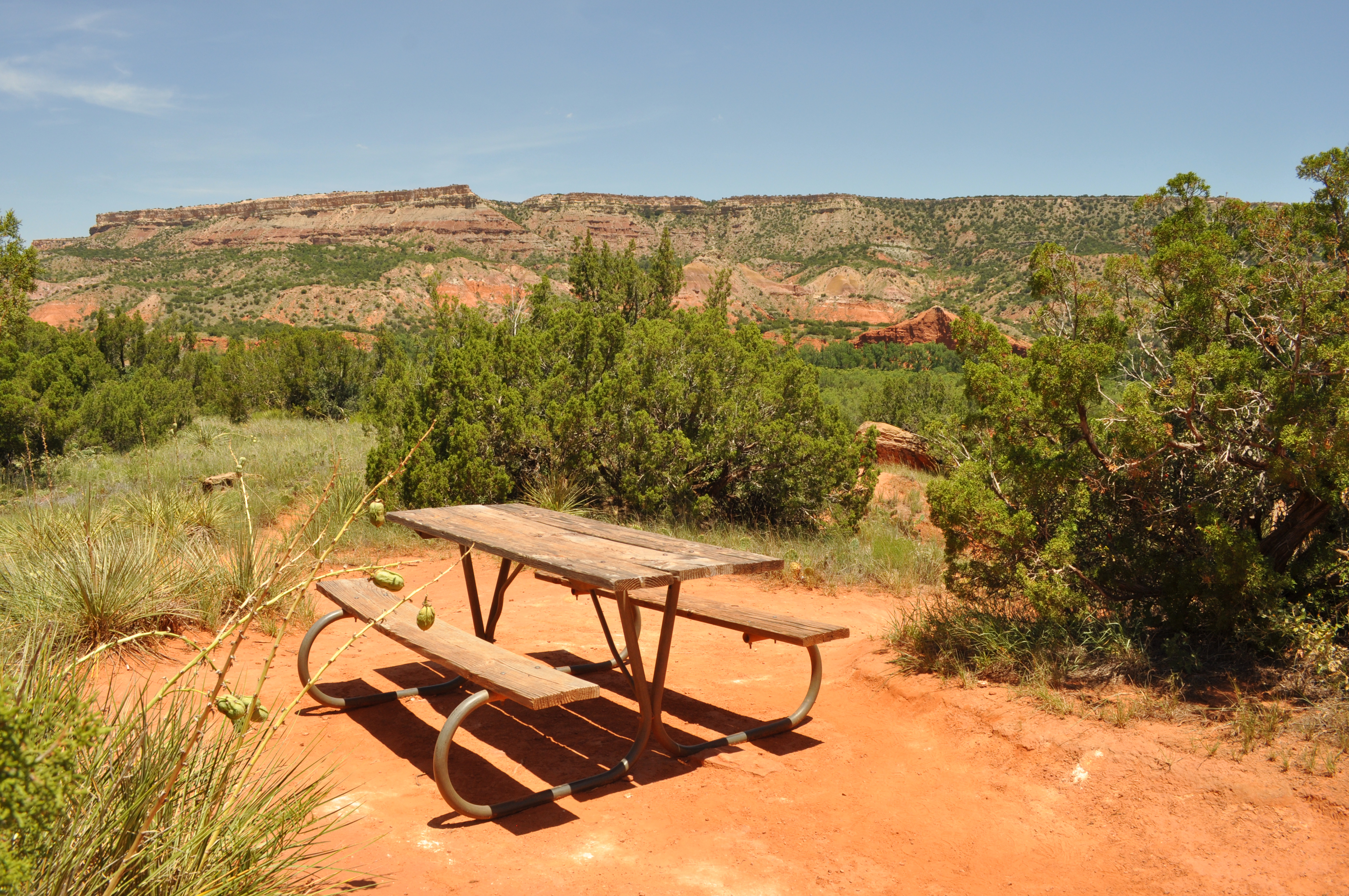
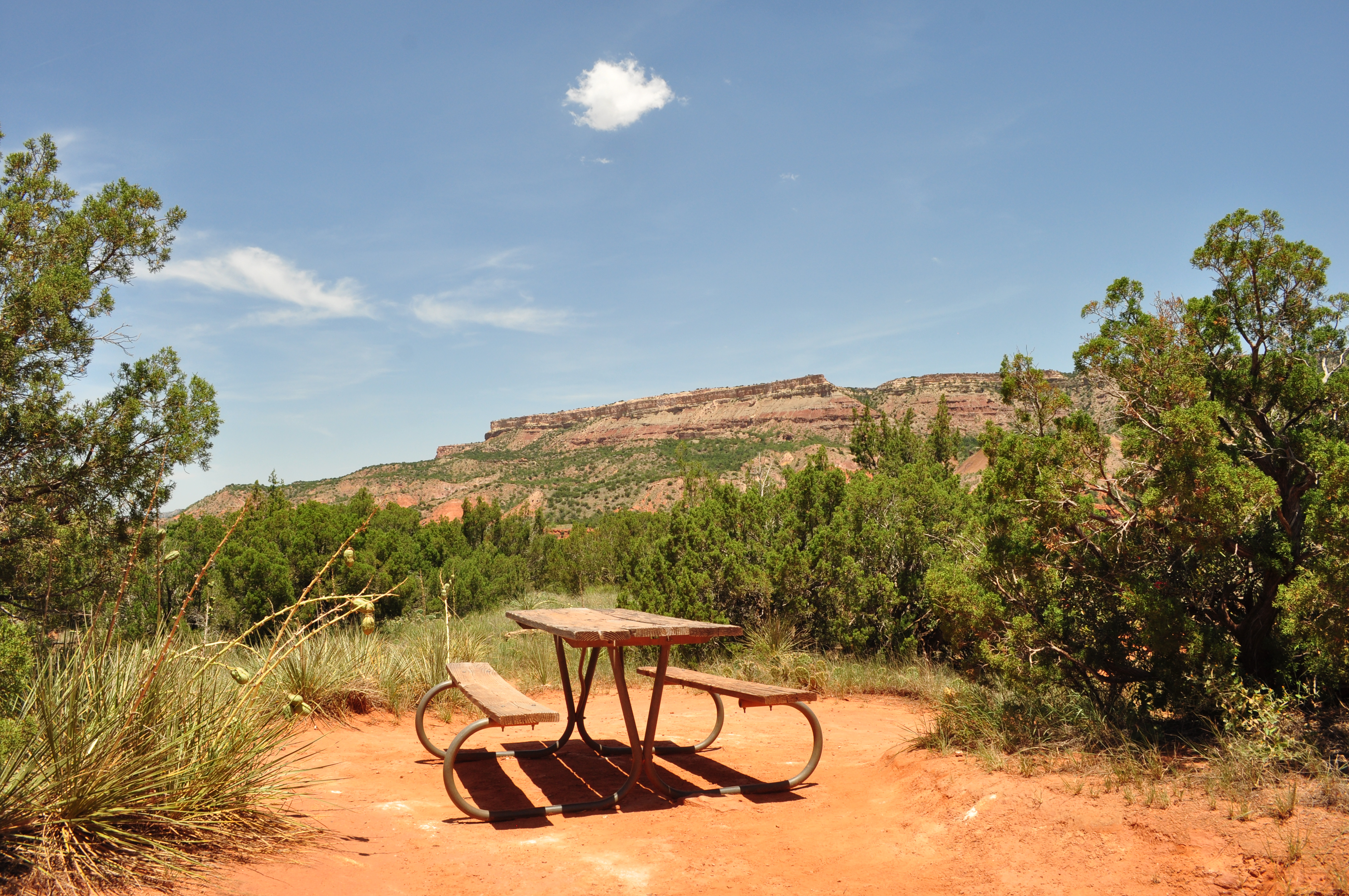
Along our driving route we passed several picnic and camping areas. When I return for my next visit (and make no mistake about it…there WILL be a next visit!) I’d love to stay in one of the cabins on site. Imagine waking up to these views.
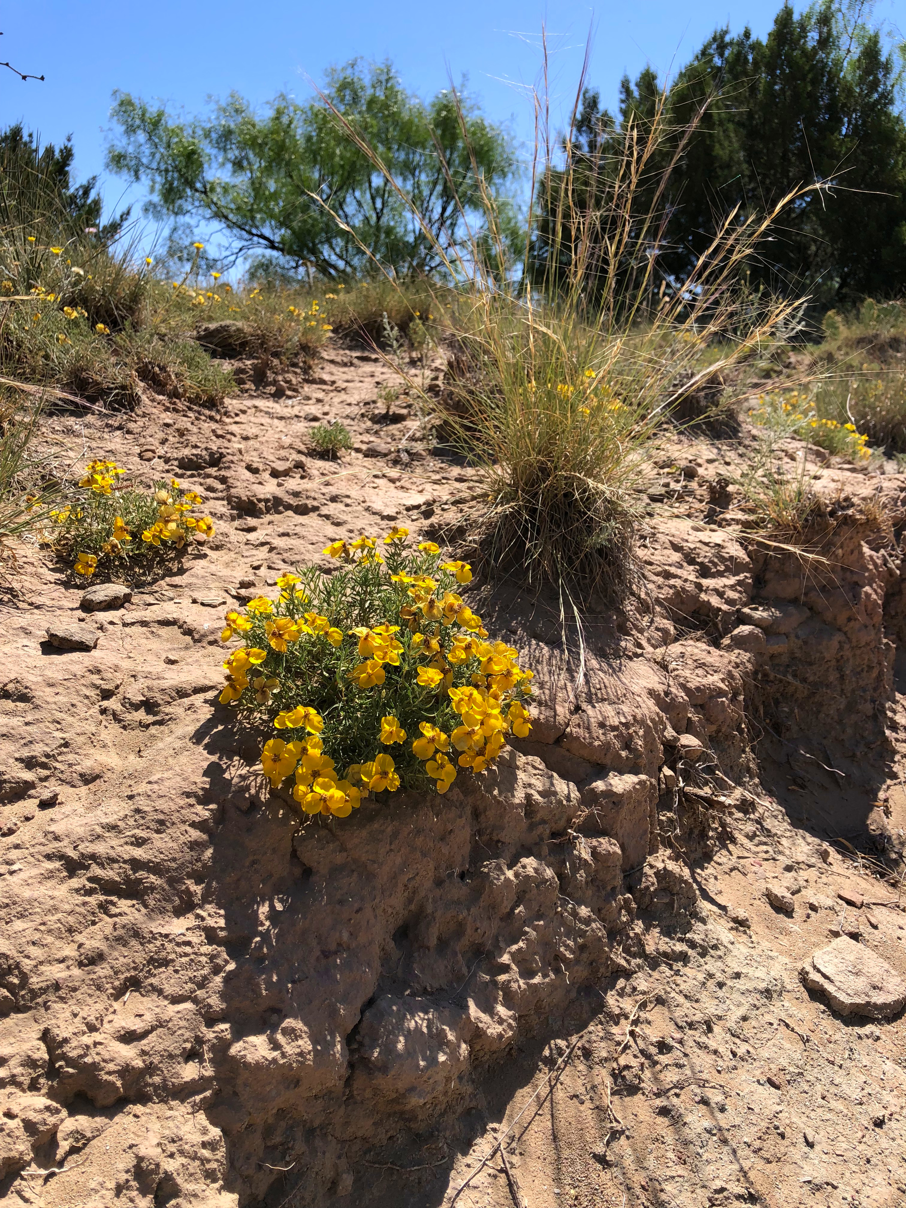
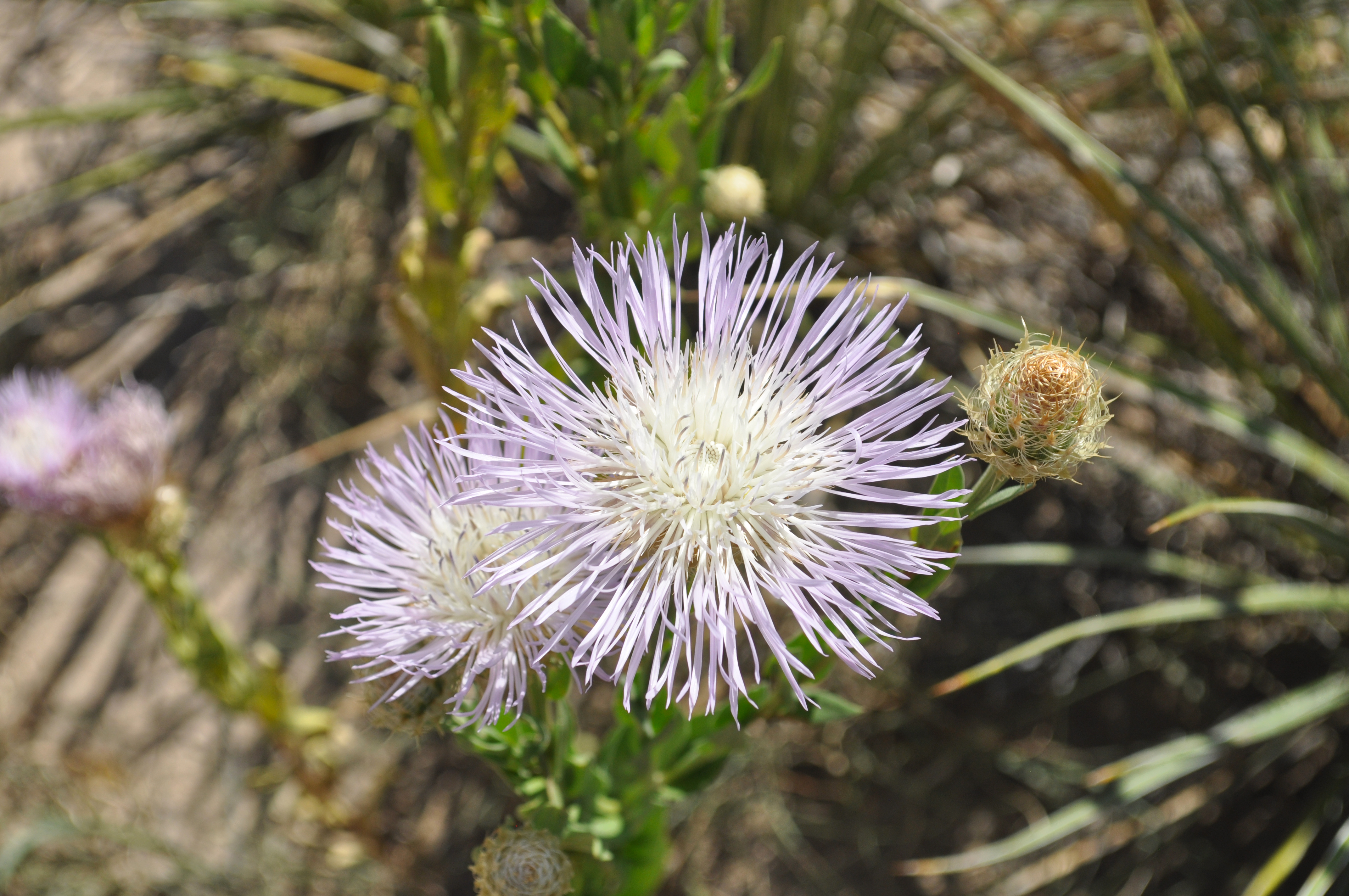
One of the most pleasant surprises we encountered was fields or wildflowers, as well as individual flooring plants that had stubbornly pushed their way up through the dry dirt. In central and south Texas many wildflowers were already past season in June.
Indian blanket, American basket-flower (shown in photo), sunflower, paperflower, blackfoot daisy, tansy aster, sideoats grama, buffalograss, sand sage, yucca and prickly pear cactus decorated the canyon floor and made the area appear to be more of a place for living creatures than desolate and empty.
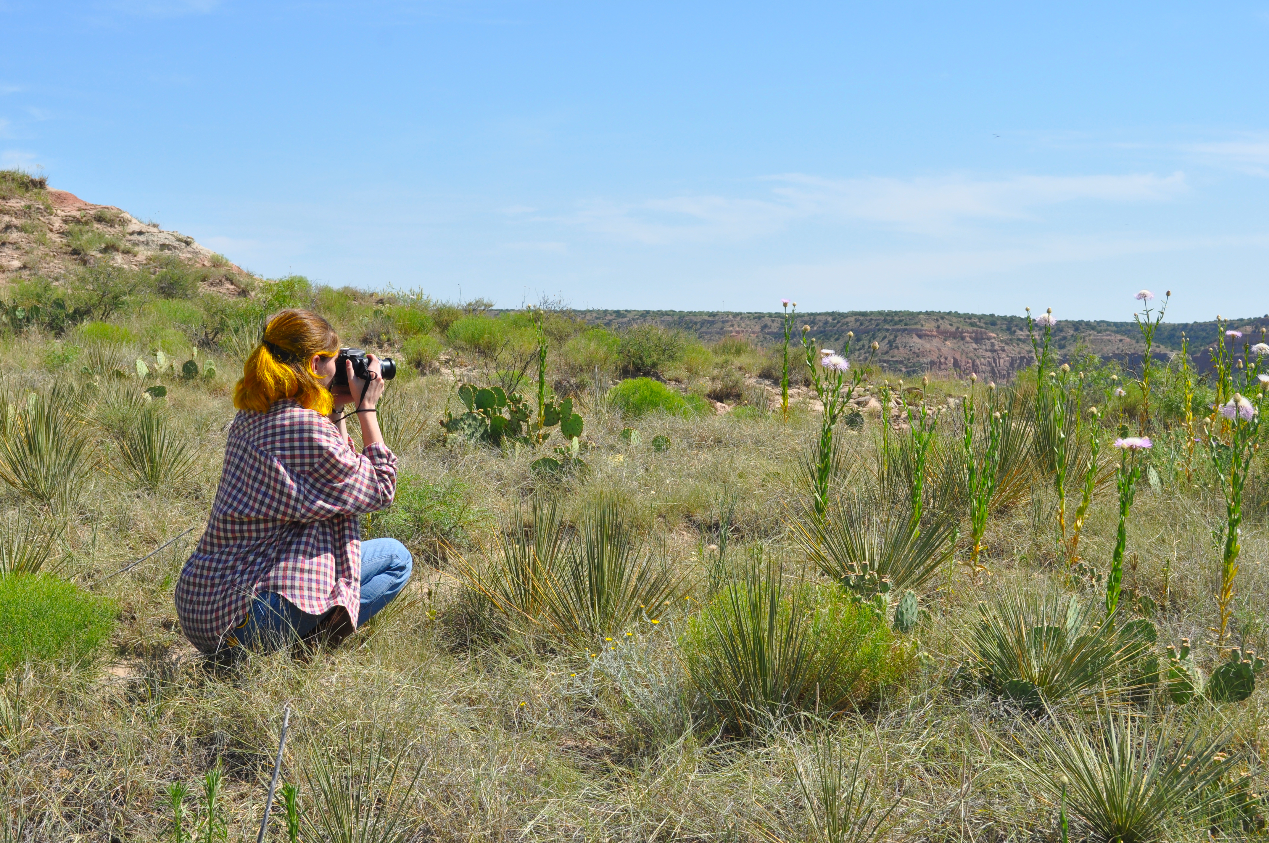
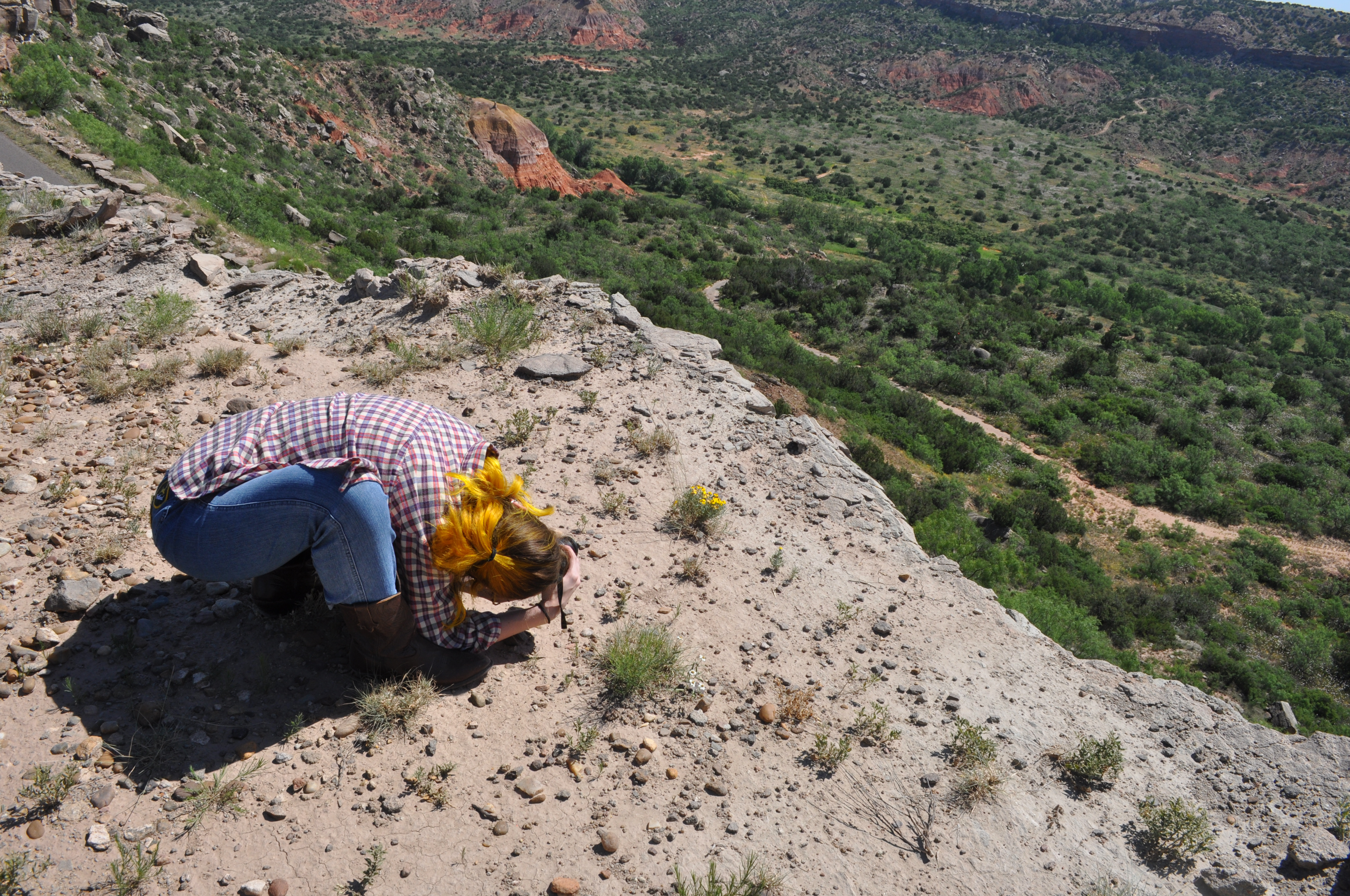
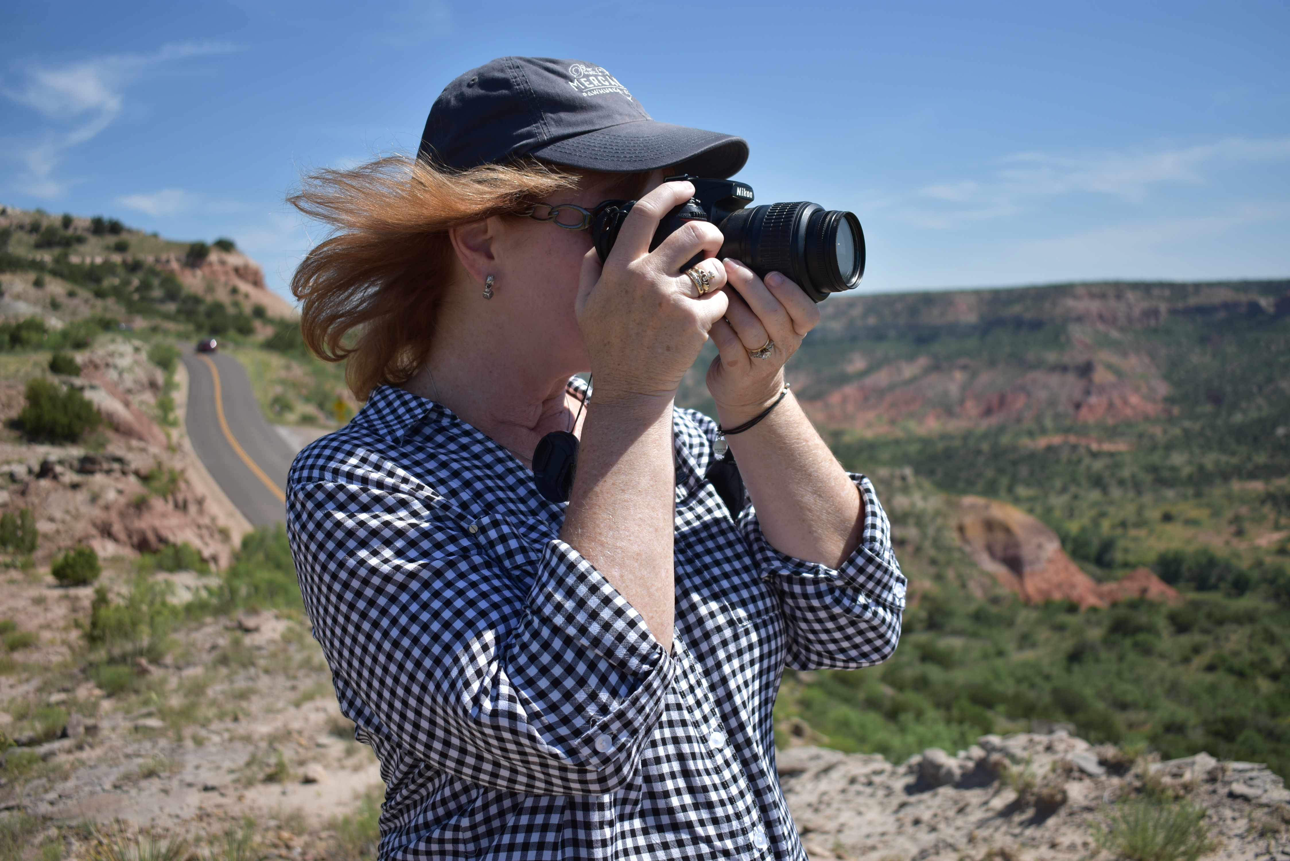
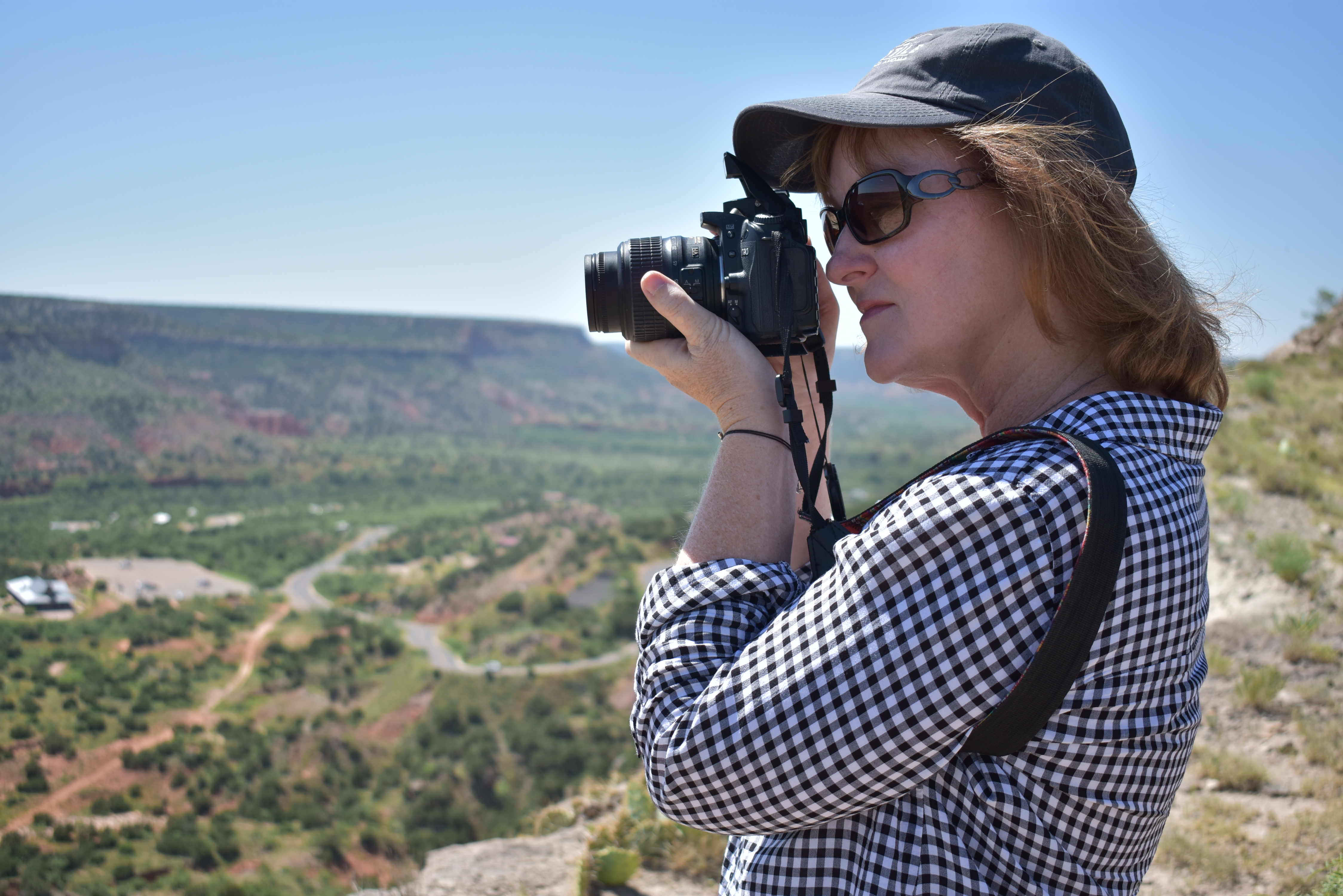
Like mother- like daughter. My girl doing what it takes to get the shot!
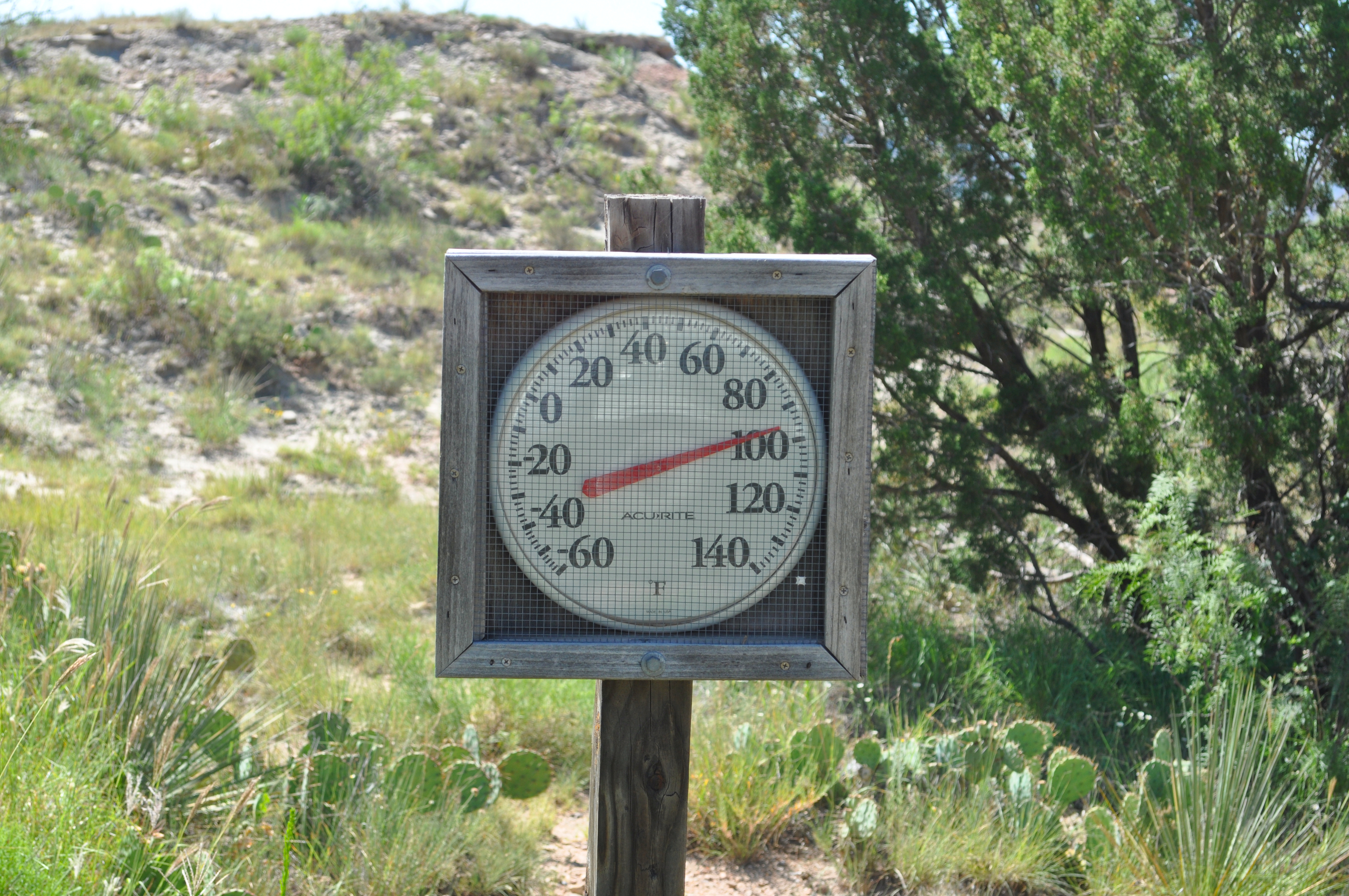
Even though we traveled the majority of the distance by car, we drank a LOT of water. Staying hydrated in the canyon (which can reach 130 degrees in summer) is non-negotiable!
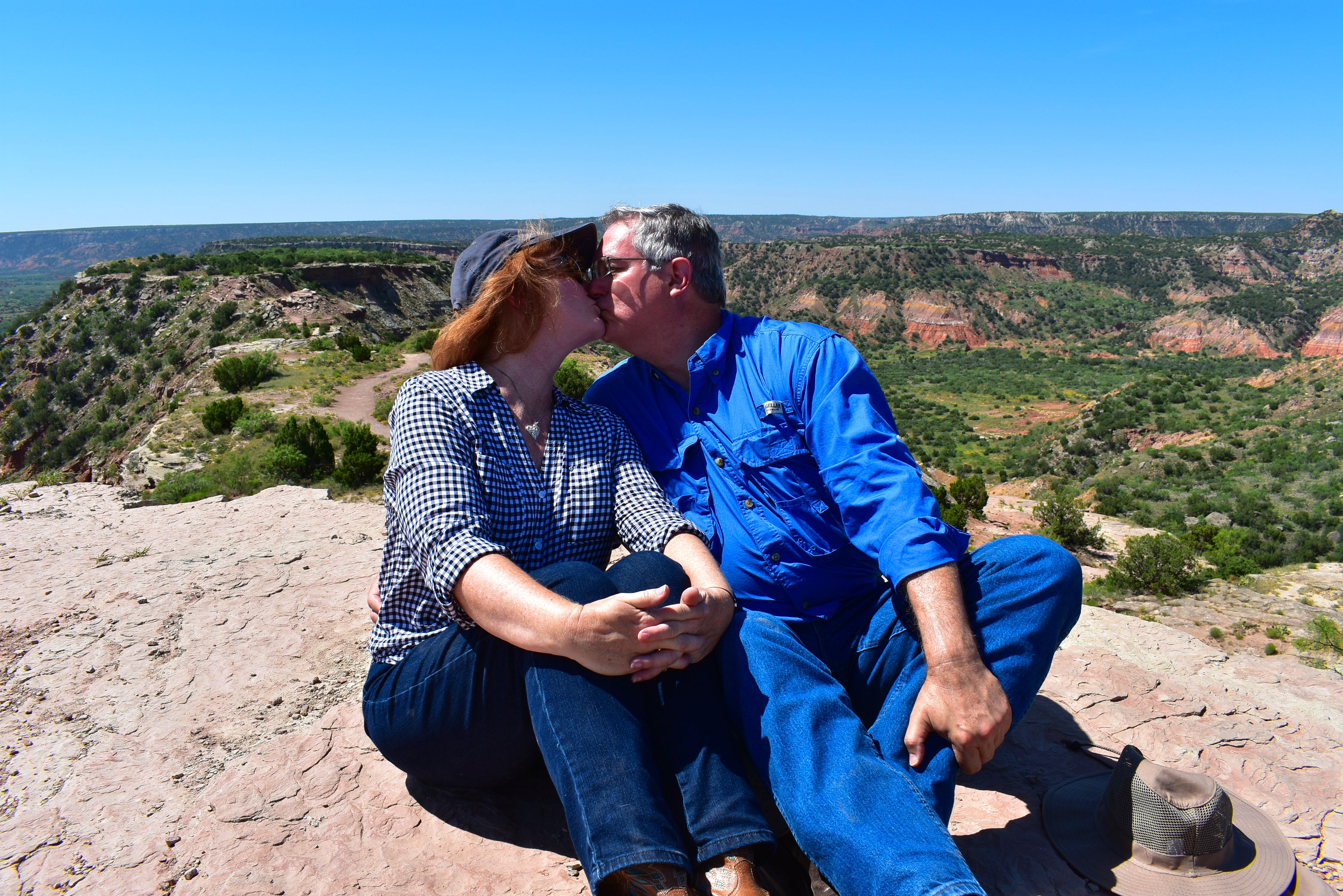
But if you think this vast canyon, however arid, couldn’t possibly be romantic I’m here to tell you you’re wrong. Sharing this grandeur (not a word I use lightly) with the ones you love is a memorable experience.
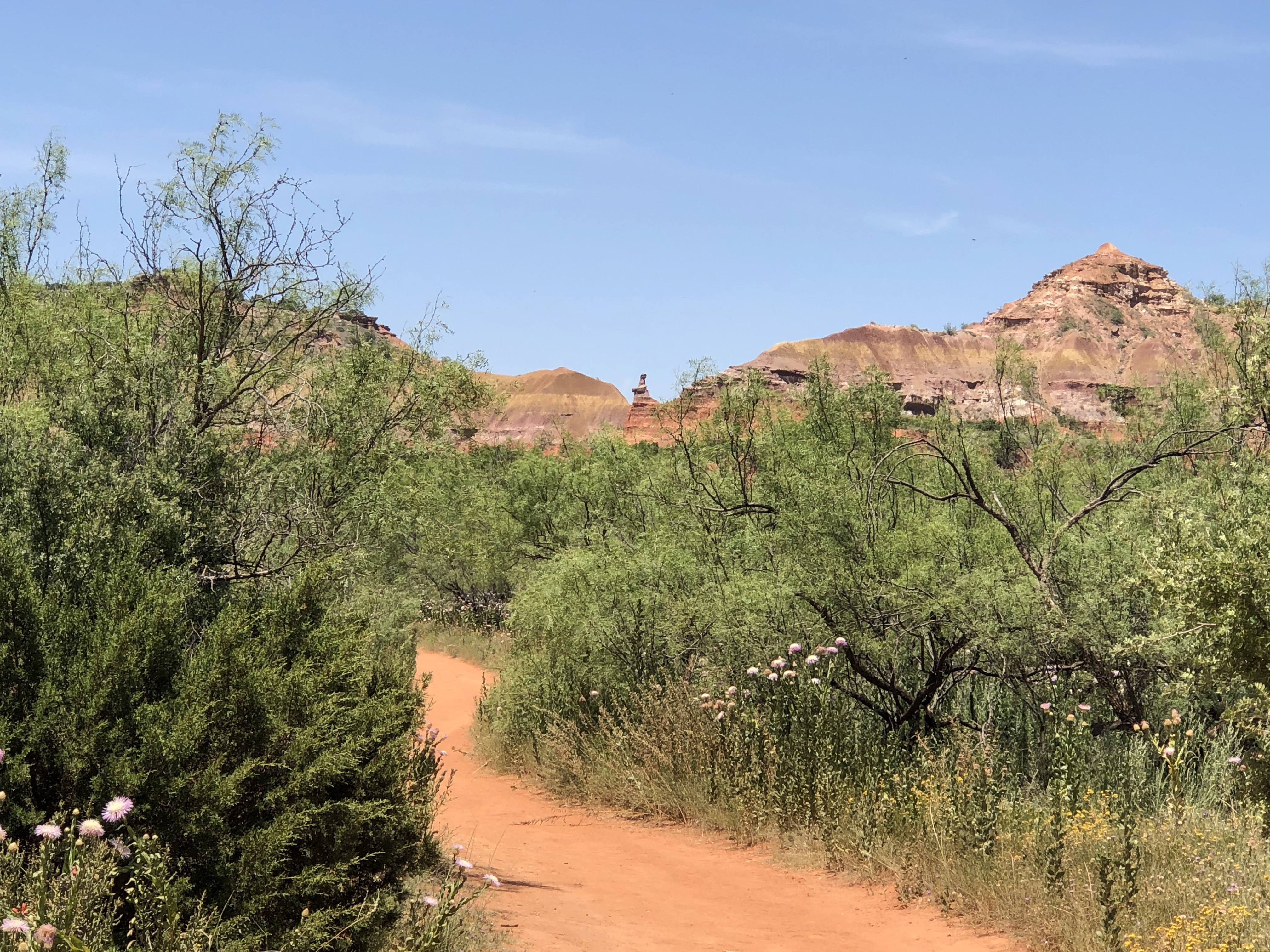
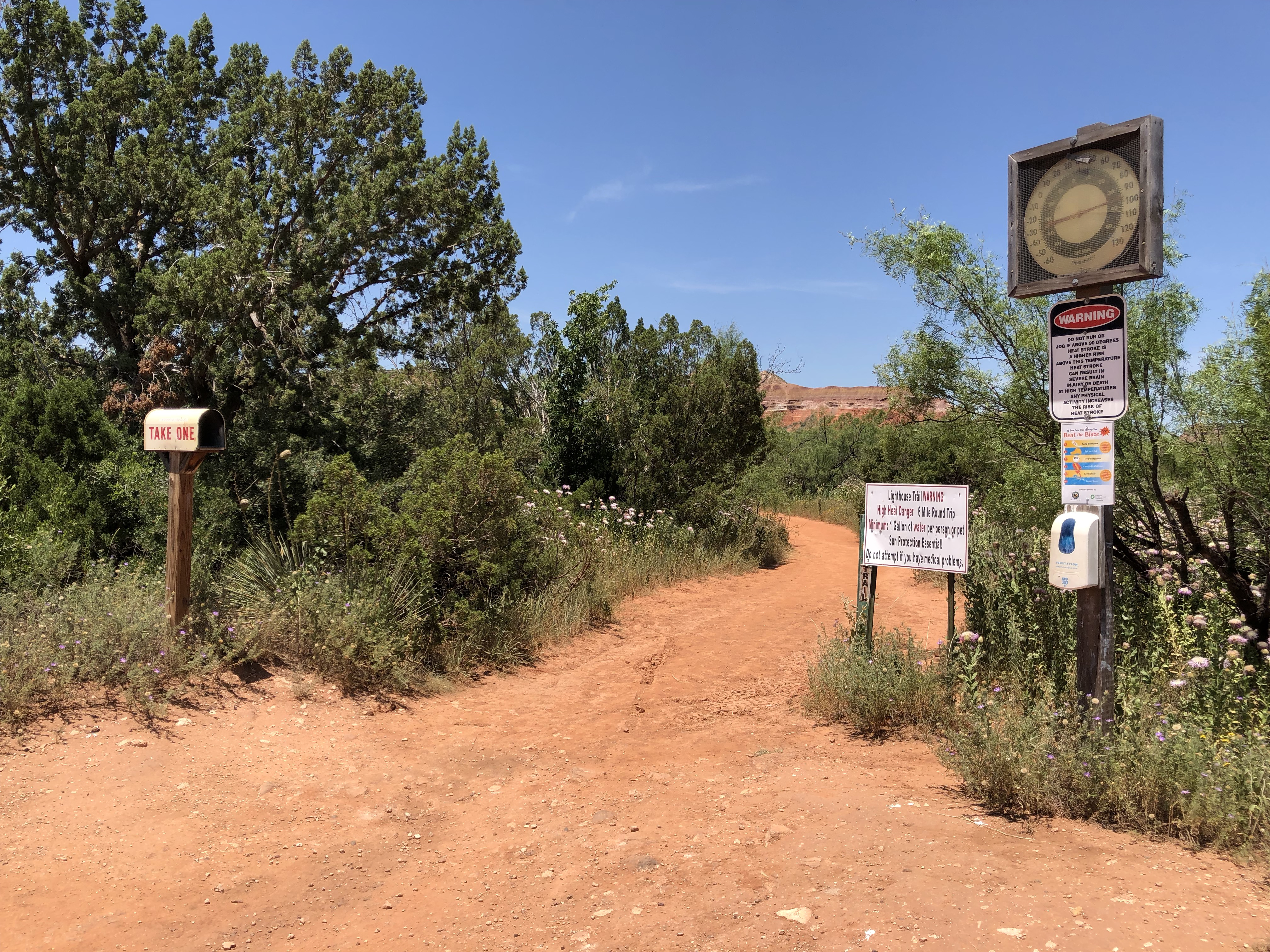
We pulled over one last time at the base of the canyon to check out the trailhead for the famous Lighthouse formation.
“Lighthouse” in the distance
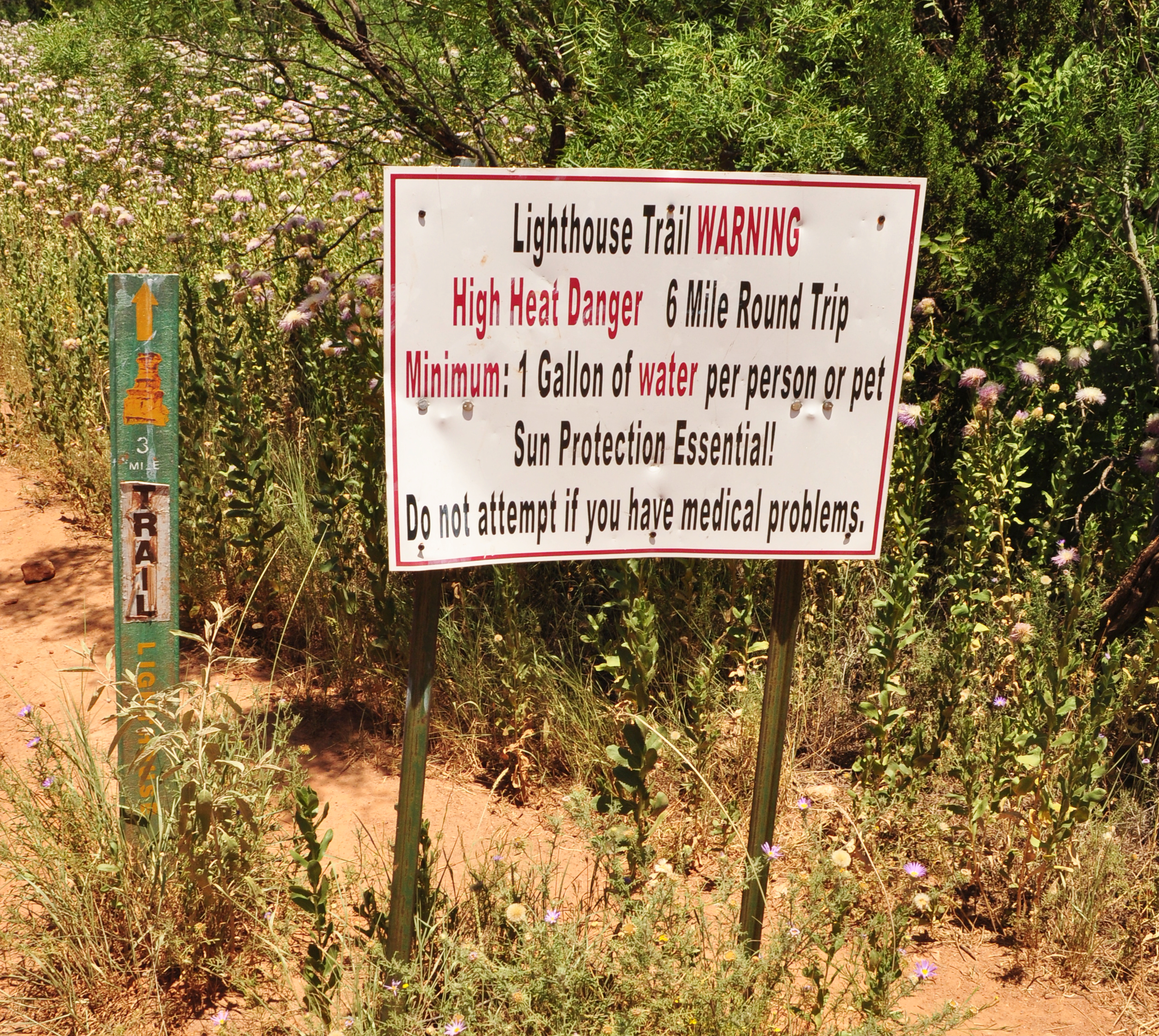
The Lighthouse Trail is the most well-known trail in Palo Duro Canyon. It’s considered a moderate hike ( 2.72 miles each way) but having arrived during the heat of the day without the proper shoes, we vowed to return at another time to venture off to see unusual 310 foot tall formation. I walked just around the initial bend of the trail to take a photo (though far away) of the lighthouse, which looked small in the distance.
The park has posted multiple warnings about the danger of heat and dehydration at the head of the trail, and even staffed a tent with a ranger to provide information and advice to people before they set out. Although I certainly didn’t envy her, it was impressive how seriously they took visitors’ safety.
By that time we had worked up an appetite and exhausted our water supply, so we headed to the Palo Duro Trading Post on the rim for a late lunch. They don’t serve anything fancy, but you know those times you’re so hungry everything taste like the BEST (fill in the food blank) ever? Yep, it was one of those days. The staff was friendly, service fast and tables clean. Hamburgers, grilled cheese sandwiches and hot dogs seemed like the find of the day. And the ice cream? C’mon…what do YOU think?
The Trading Post also offered a fun variety of souvenirs from T-shirts to mugs to jewelry, all very reasonably priced.
Happy with our visit and satisfied appetites, we left the park to go back to the hotel to take off those boots and give our feet a rest before heading out to see more of Amarillo.
If you only have time to visit one place in the Texas Panhandle (and that would be a shame), Palo Duro Canyon State Park should be that place.
When you go, remember to:
Bring and drink water
Wear sunscreen, a hat and protective clothing
Have your camera ready
Bring and drink water
Pick up a map before you head out
Wear comfortable, supportive shoes
And…you guessed it…bring and drink plenty of water!
Do you prefer to hike, bike or drive through sites like this beautiful state park? I’m interested to know!
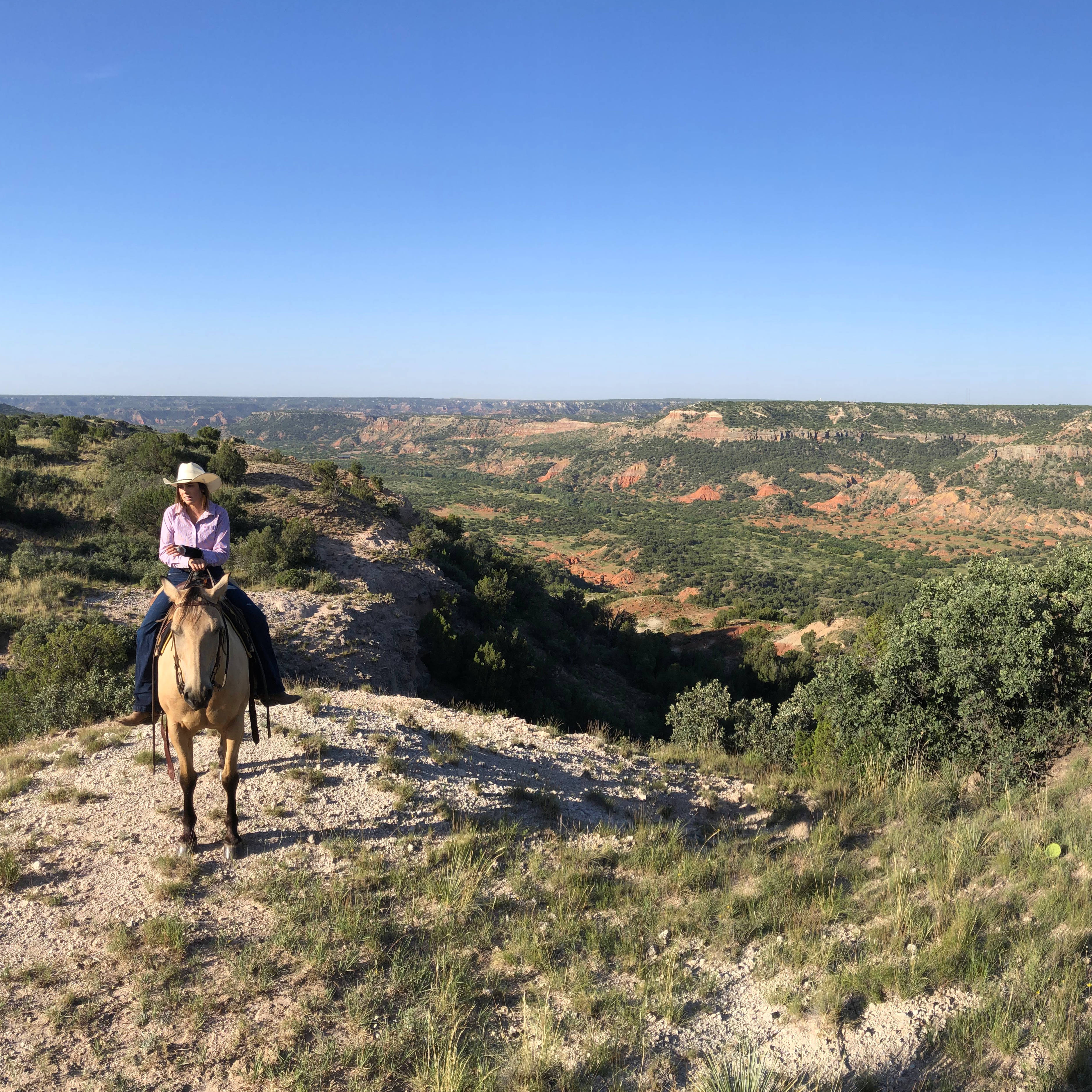
When most people from other states of countries think of Texas, visions of cowboys riding their horses past oil wells usually come to mind. So it was no surprise to meet a young honeymooning couple from Germany when we showed up for our trail ride at a ranch in Palo Duro Canyon. They wanted to do something they thought would be a typical Texas experience – and riding horses was just the ticket.
And honestly, you’ll never see me turning down a chance to ride horses. I had been looking forward to this particular ride since booking it a few weeks before our trip down Route 66. When I was researching horseback riding options in Palo Duro, one in particular caught my eye because it wasn’t the usual nose to tail ride…you know, where the horses walk in a single file as close together as possible in single file?
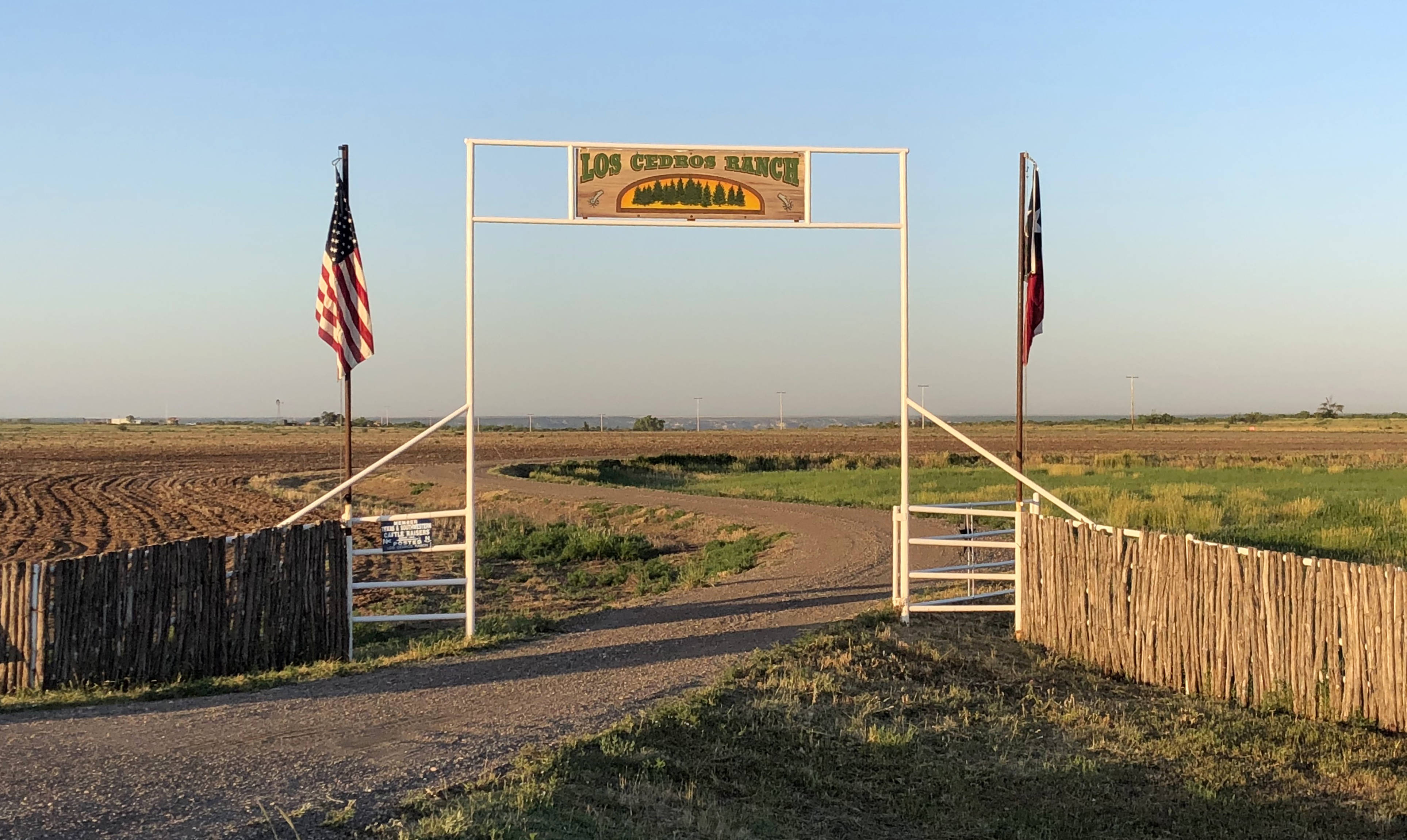
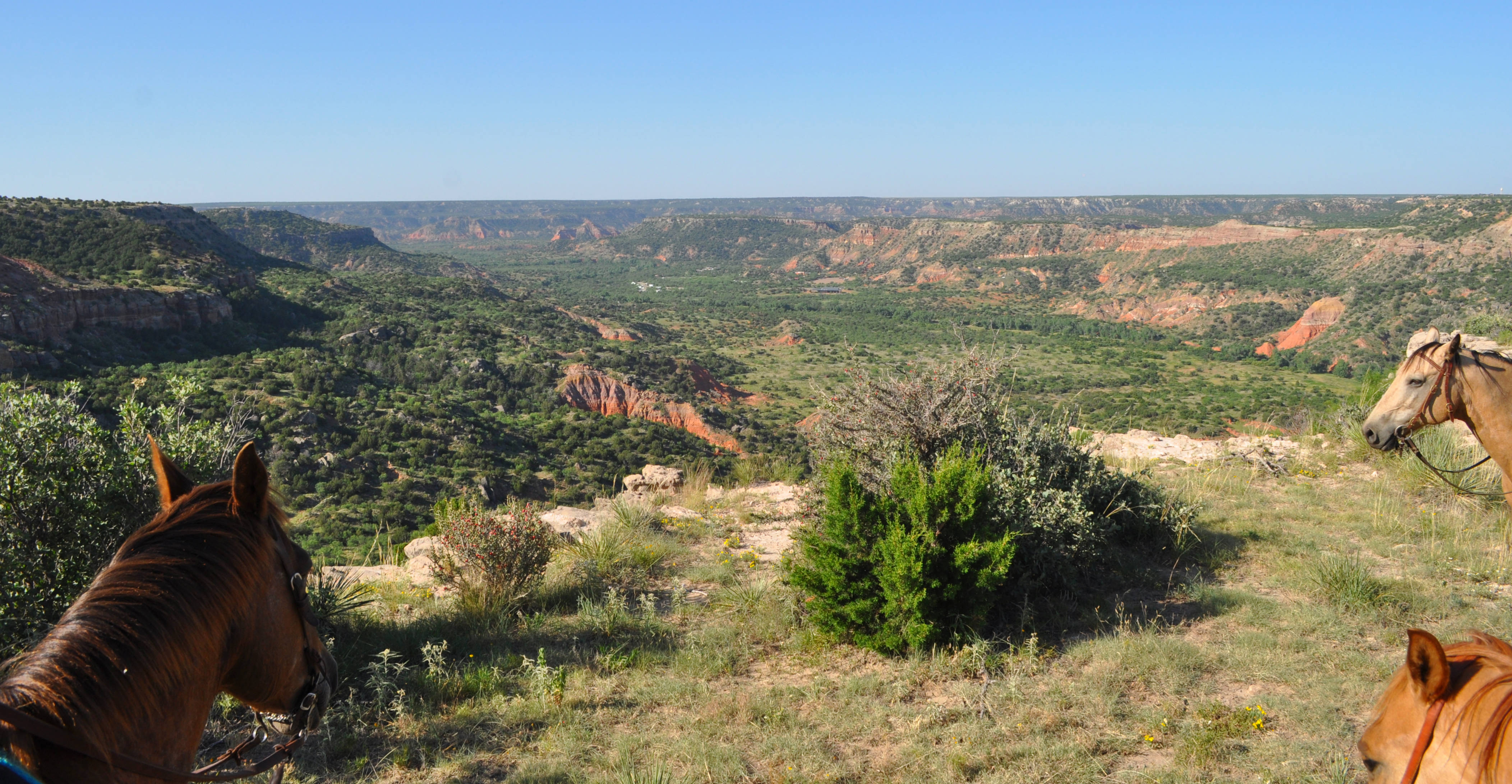
Cowgirls and Cowboys in the West operates on the Los Cedros Ranch on the rim of Palo Duro Canyon – the second largest canyon in the United States. Horseback is an incredible way to see this breathtaking natural wonder.
The ranch offers one, two or three hour rides. I chose the earliest time slot (8:30 a.m.) for a two hour ride for three reasons: it gave us a nice length of time in the saddle; the morning light was better for photographs; and the canyon becomes very hot quickly once the sun is up. That meant we needed to leave our hotel early enough to arrive at the ranch by about 8:15.
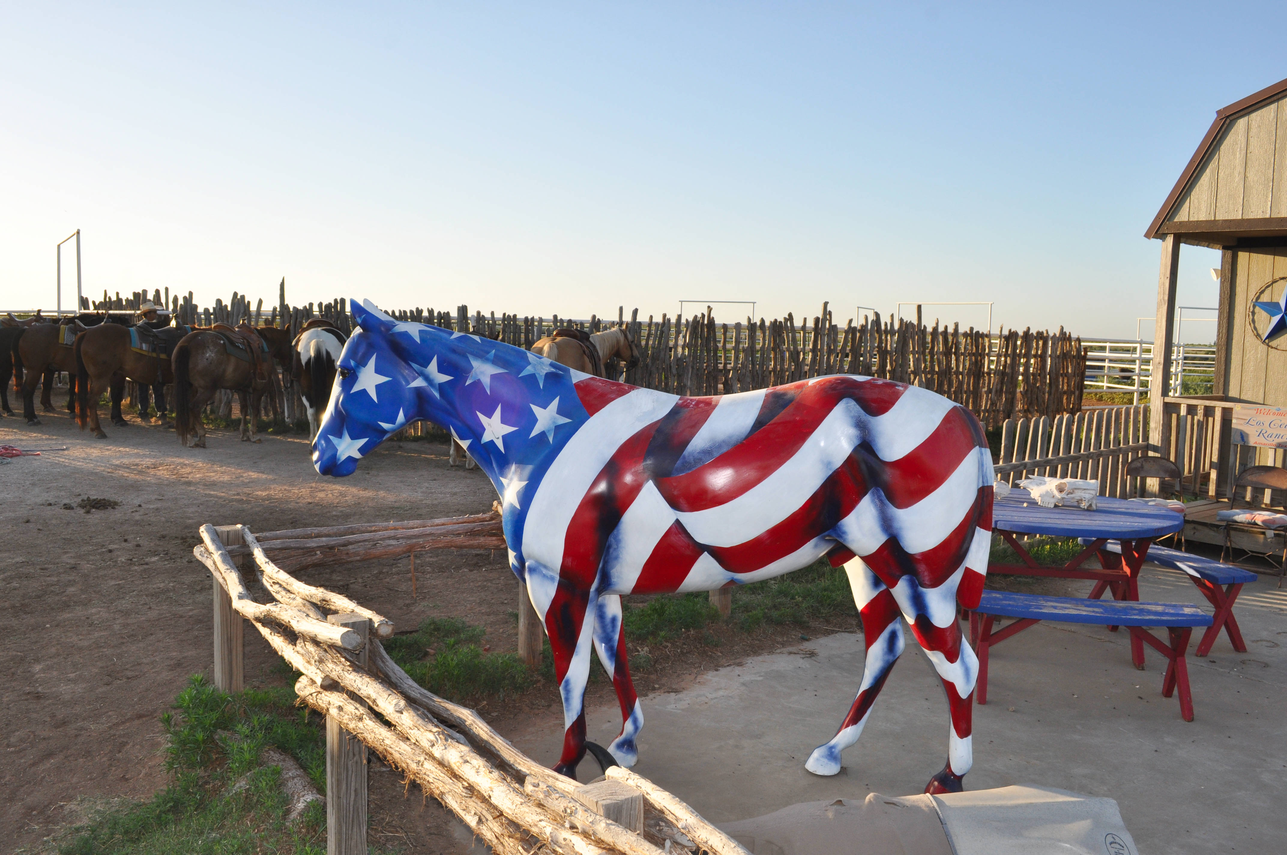
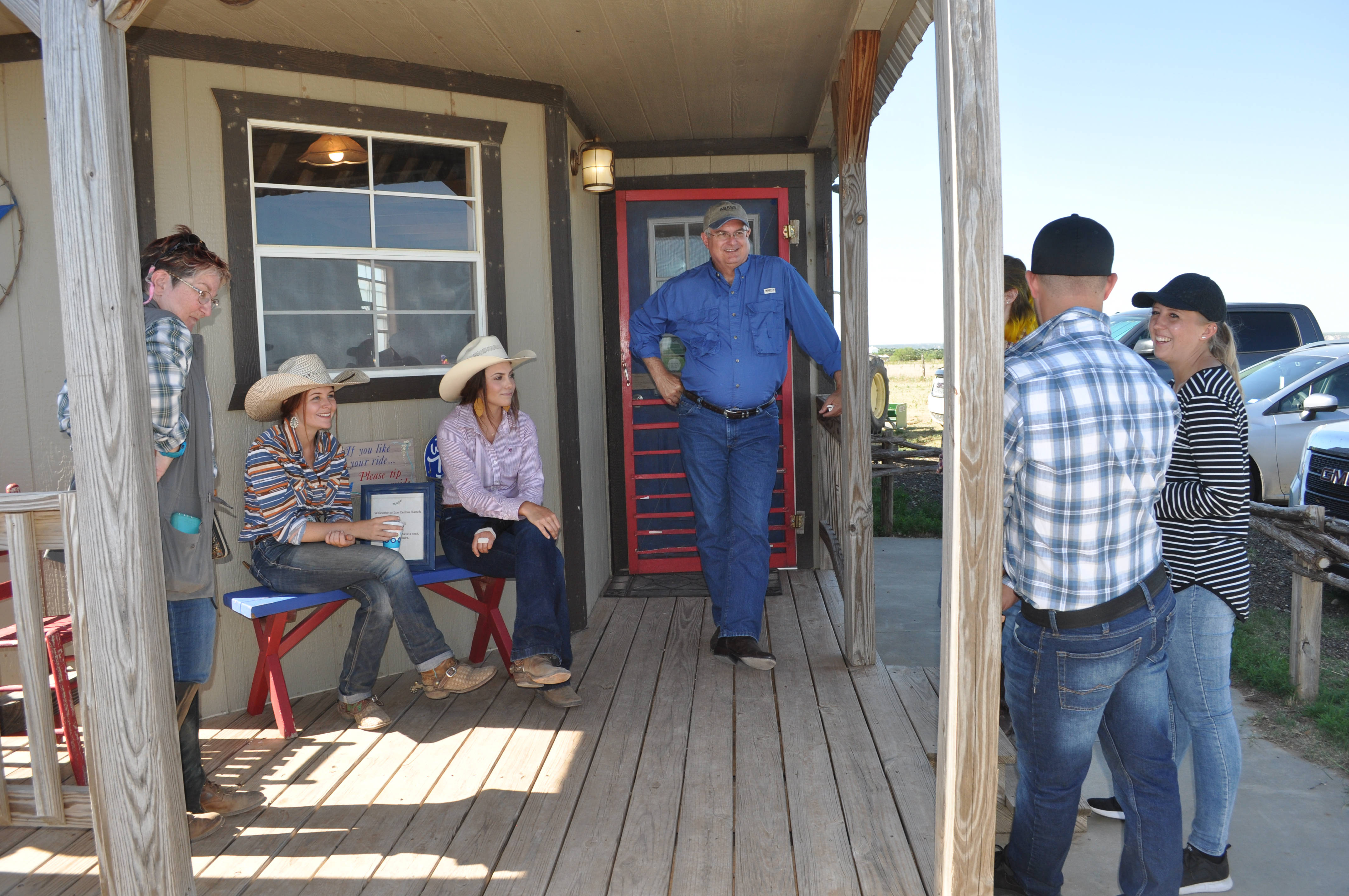
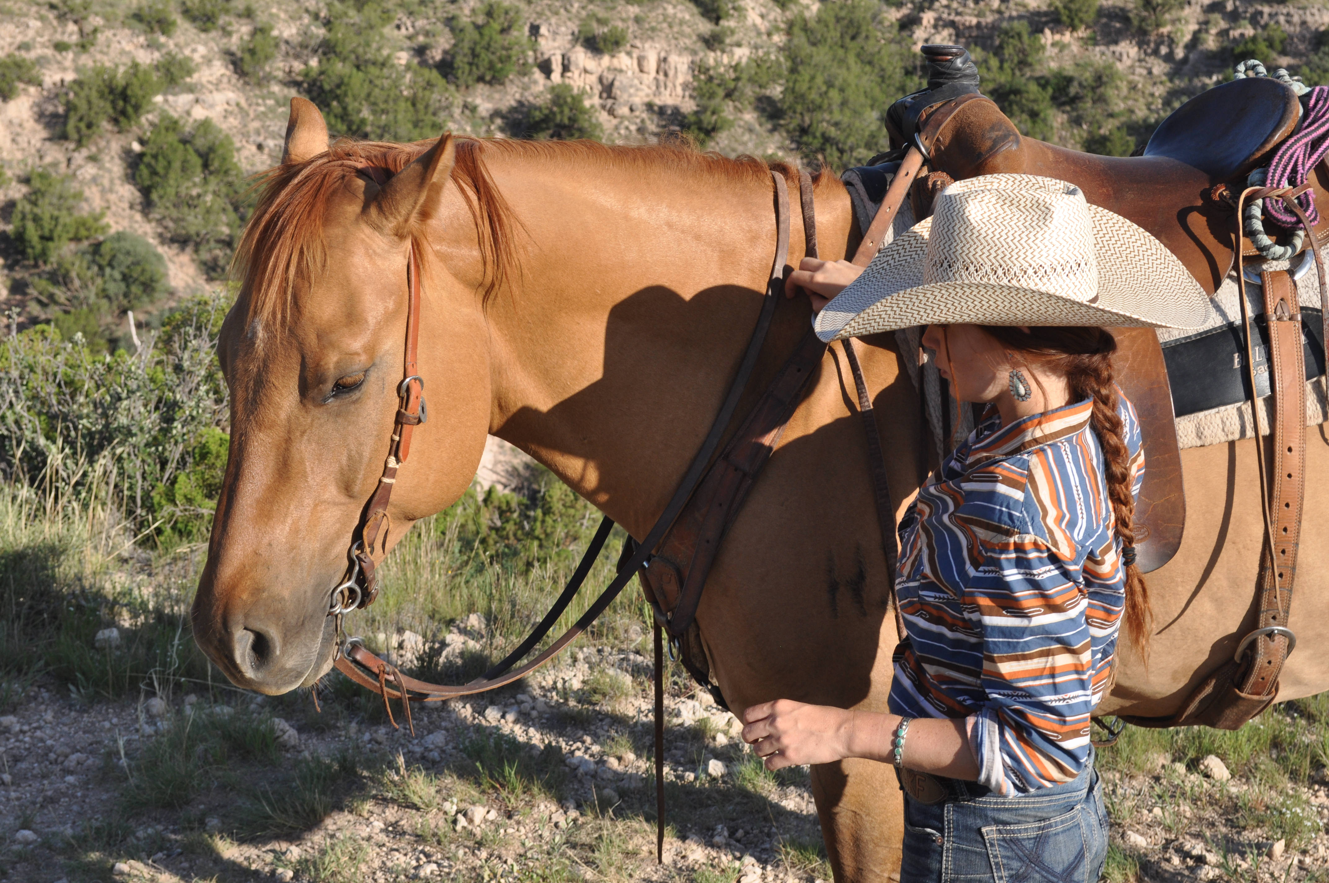
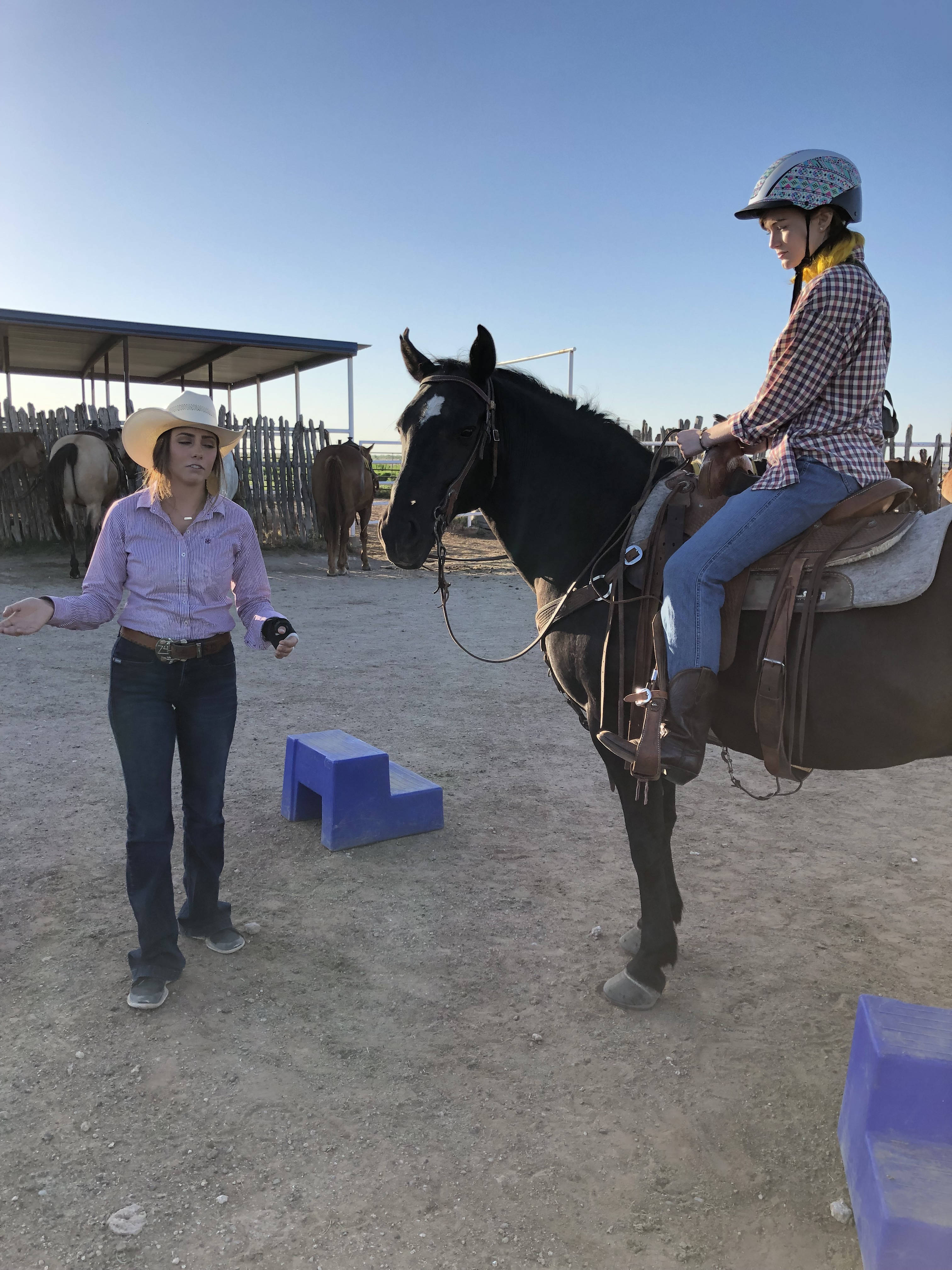
When we arrived at the ranch, we were greeted by the young ladies that would be leading our ride: Sierra, Kensi and Halee. Young and friendly, it was also immediately apparent that they were also knowledgable horsewomen and experienced guides.
Our group of six (my family of three, the honeymooners and a local college professor) were welcomed into a small bunkhouse type building where we were offered cold water and a briefing about how the ride would proceed. A quick look around the room included cowhide covered furniture and a bulletin board with great tidbits of information including local restaurants the crew recommended. True Texas hospitality.
Safety measures were covered (my daughter is under 18, so was required to wear a helmet) as well as an overview of the types of terrains we would cover. We were encouraged to “stray” from the worn trail if we wanted as long as we basically stayed in the area of the group. Much to our delight we were also told that the ride would be stopping at two picture perfect locations along the rim.
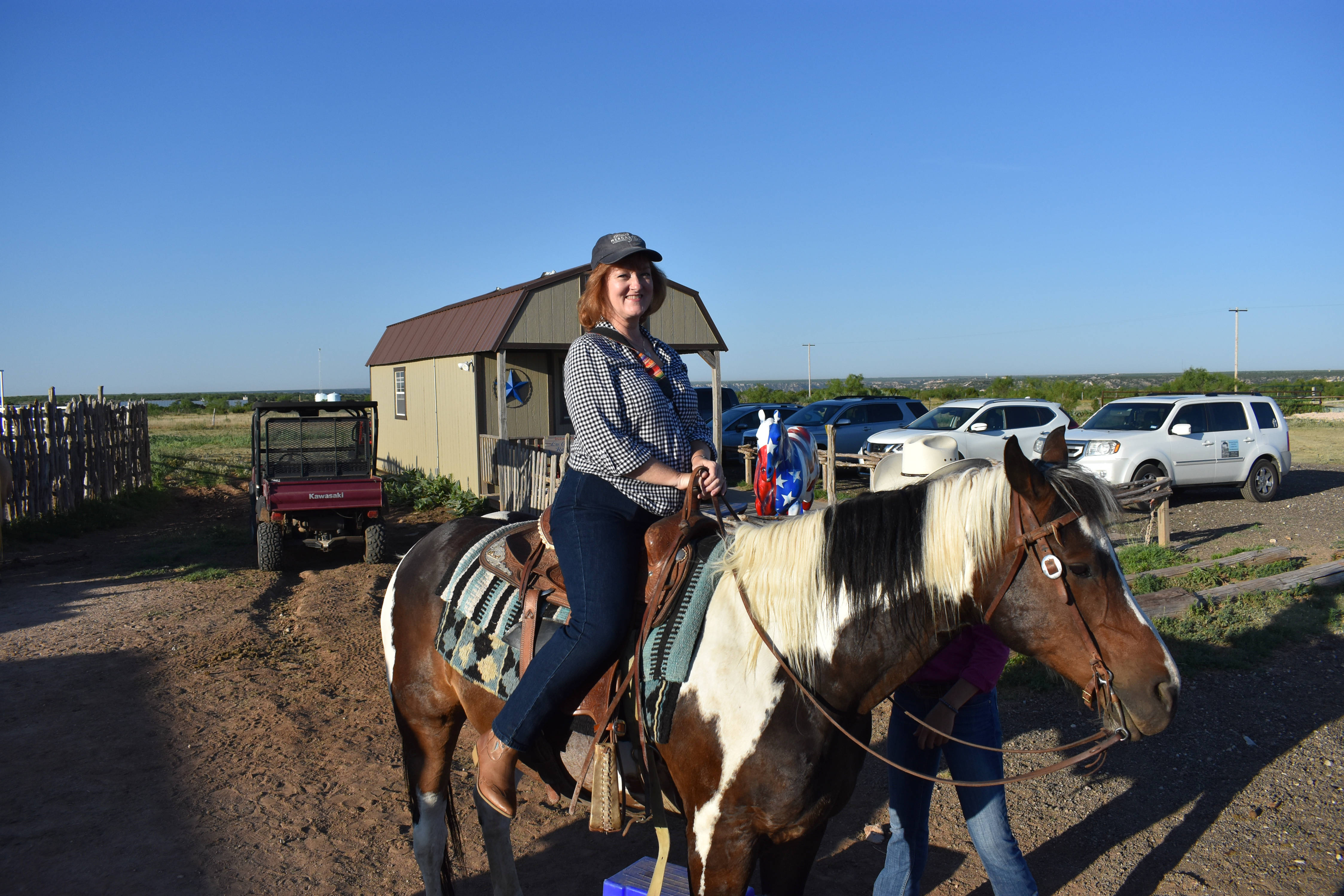
When you make reservations for a ride online, you are asked for specific information such as riding experience and weight, so that an appropriate horse can be chosen for you to use. Our little “posse” had everything from experienced (me) to one of the honeymooners who was a first time rider. Everyone was made to feel extremely comfortable about the process regardless.
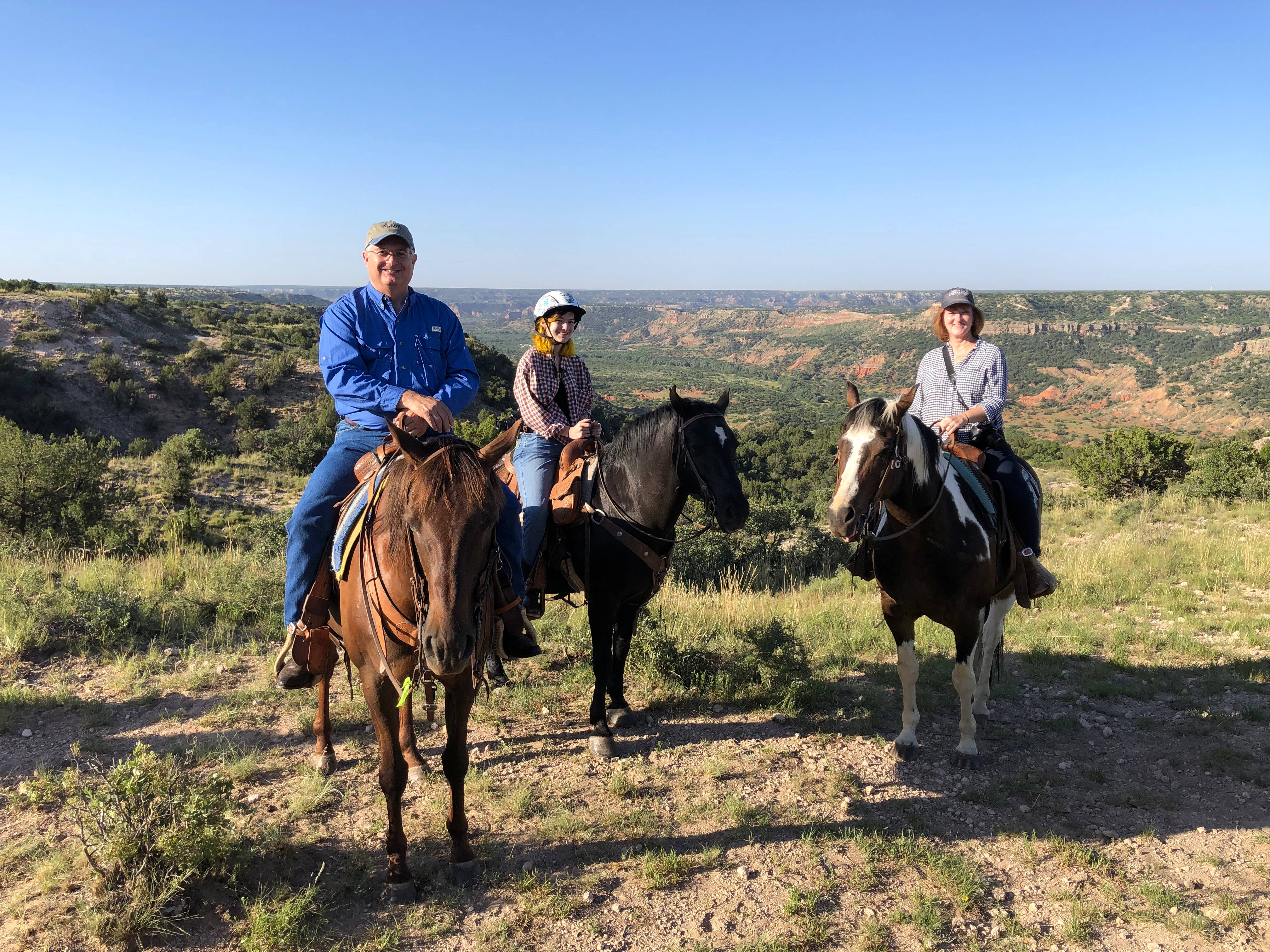
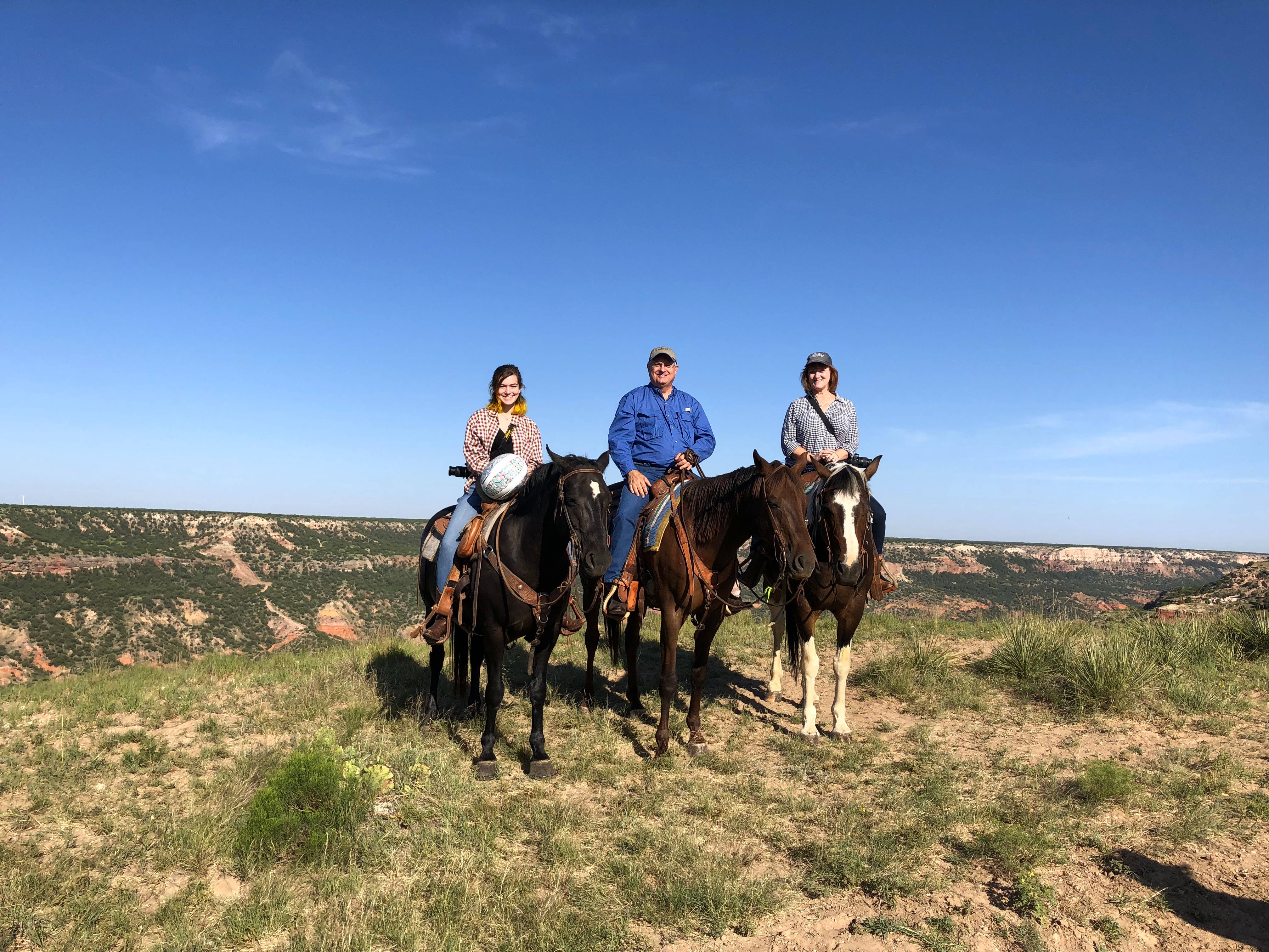
Once were were all assisted into the saddles of the beautiful Quarter Horses, we set out on our adventure. Along the way, the girls chatted about the canyon, the horses’ different personalities, and funny things that have happened on different rides. Sierra gave us some fascinating background history about the canyon along the way in a manner that felt much more like a friend talking with us than a tour guide.
The ride proceeded at an easy pace beginning with watering the horses at a large tank, and starting out into the prairie grass region. It wasn’t long before we saw our first glimpses of the canyon, that became more stunning the closer we rode. We paused in several places to take in the view and, as promised, the girls offered to take photos of the riders at two particularly beautiful vistas.
They pointed out a part of the canyon where coyotes live, the theatre in the base of the canyon where the park’s performance is held in summer months, and even dismounted to chase (unsuccessfully) a few horned toads to show us…which kept us laughing. They were so committed to making sure their guests had a great time!
Eventually it was time to head back, and we watered the horses again on the way. Everyone was visiting like old friends, having shared such a memorable experience. When we got back to the bunkhouse, the owner of the ranch, Phyllis Nickum, was there to greet us with cold water and a chat.
It was sad to call it a day when the ride was over, even though it was getting quite warm (I felt a bit sorry for the guest who were arriving for the later ride). As a quick aside, most of the horse tack and equipment for Los Cedros is custom made at Oliver’s Saddles of Amarillo, the oldest family owned saddlery in Texas. We were each given a Texas shaped keychain made by Oliver’s after our ride as a souvenir, which was such a nice touch to the visit.
We saw and did so many fun and interesting things along the section of Route 66 that we traveled on this trip, but the Cowgirls and Cowboys of the West experience is one that I can’t wait to go back and experience again.
If you’re lucky enough to be in the Amarillo area, do yourself a favor, and leave time in your schedule for a visit to Los Cedros. Their website has detailed information about the different rides offered, proper attire and the background of the ranch.
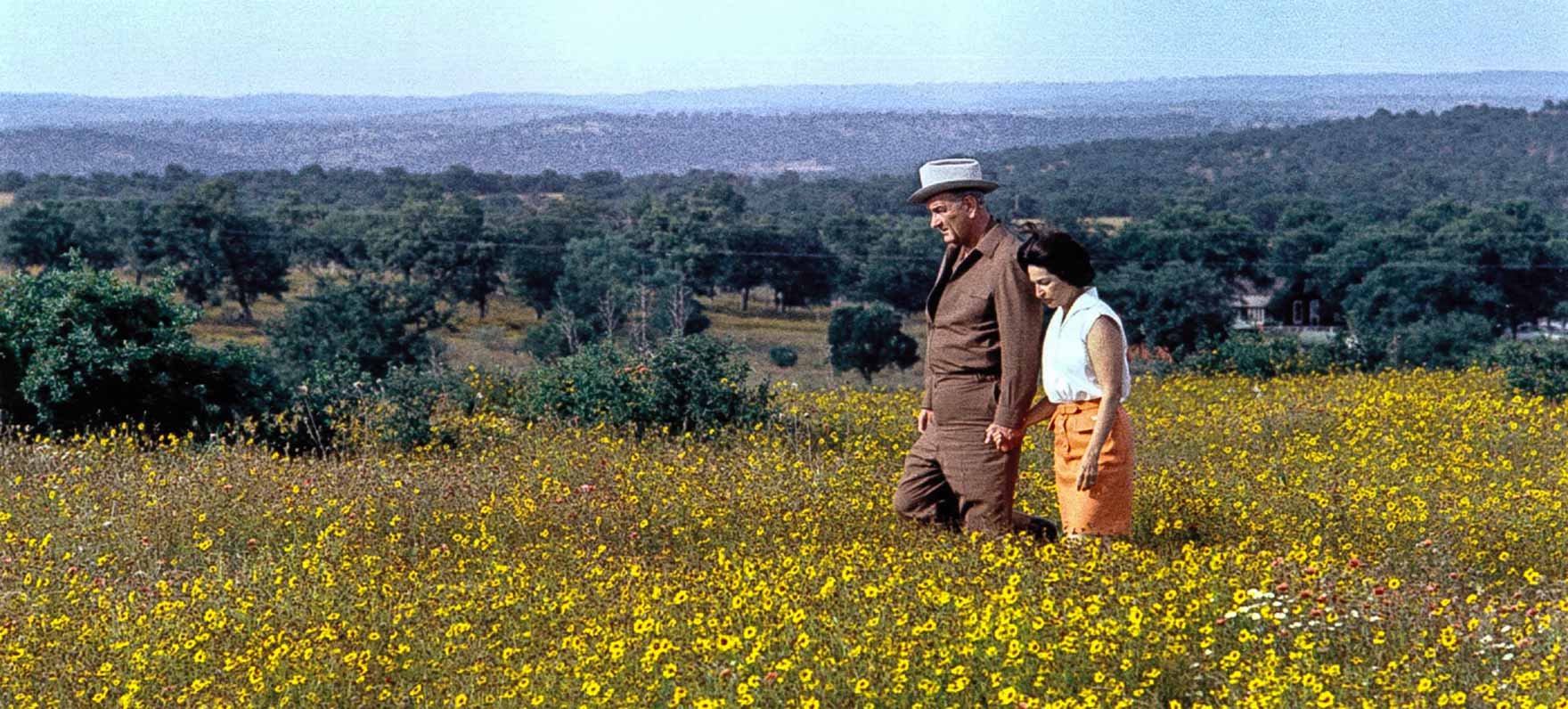
Both U.S. presidents most associated with Texas in recent years weren’t actually born here. Former President George H. W. Bush was born in Massachusetts, and his son was born in Connecticutt.
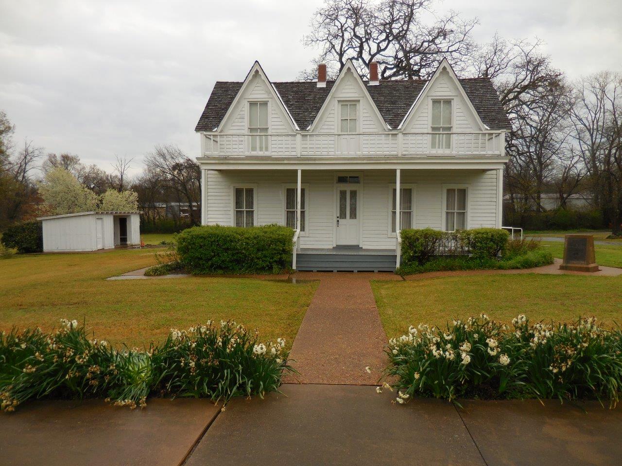
The two actually born in Texas? Dwight D. Eisenhower and Lyndon B. Johnson.
You can visit the Eisenhower Birthplace State Historic Site in Denison.
Eisenhower birthplace
The Lyndon B. Johnson National Historical Park is in Stonewall, Texas. The “Texas White House” is temporarily closed, but other park facilities are open.
President Lyndon B. Johnson and Ladybird
Now just for fun, how many Texas places can you think of that share a name with a former President? Try your hand, and then see below for a list, in order of the presidential office year. (Not all of these places were named for the President whose name they share.)
Washington
Adams
Jefferson
Madison County
Madisonville
Monroe City
Lake Jackson
Harrison County
Tyler
Polk County
Taylor
Pierce
Buchanan Lake
Lincoln
Johnson City
Hays County (O.K., well – the prez spelled it Hayes so this one’s a stretch)
Garfield
Port Arthur
Cleveland
Harrison County
Roosevelt
Taft
Wilson
Coolidge
Hoover
Kenedy (again..spelled slightly different than Kennedy)
Nixon
Carter
Reagan
Clinton
How many were you able to name without peeking? It’s O.K. if you did peek…no judgment here.


 But Lost Maples’ most popular months are October and November when the foliage is ablaze in greens, reds, orange and gold.
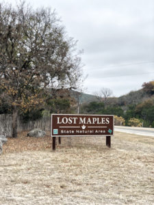

 ore, green ash, black willow, sugar hackberry and pecan trees tucked into limestone canyons carved by the upper Sabinal River provide the dazzling seasonal color. Add in an array of wildlife and seasonal wildflowers and this becomes one of the must-see autumn spots in the state.
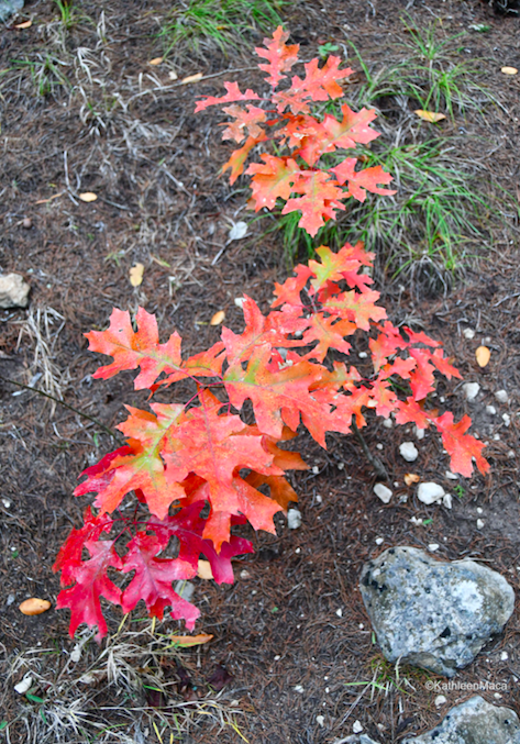
 Fall temperatures at Lost Maples are mild, and the stargazing at night is jaw dropping. The sky looked like a sea of twinkling glitter. I used a handy phone app to identify some of the stars and constellations we spotted. You can find more information about the free app here.
 display about Lost Maples, and don’t forget to pick up a free trail map to set your course. There are ten miles of well-maintained hiking trails, including a challenging, steep seven-mile loop that takes you along the top of a 2,200 foot cliff.
 I was intent on finding Monkey Rock during
  my hike, one of most photographed spots in the park year round, and was grateful to find several signs indicating the general route to him. Just follow the marked trail and as you come into a clearing by the bluffs, look up! There’s no mistaking his toothless grin.
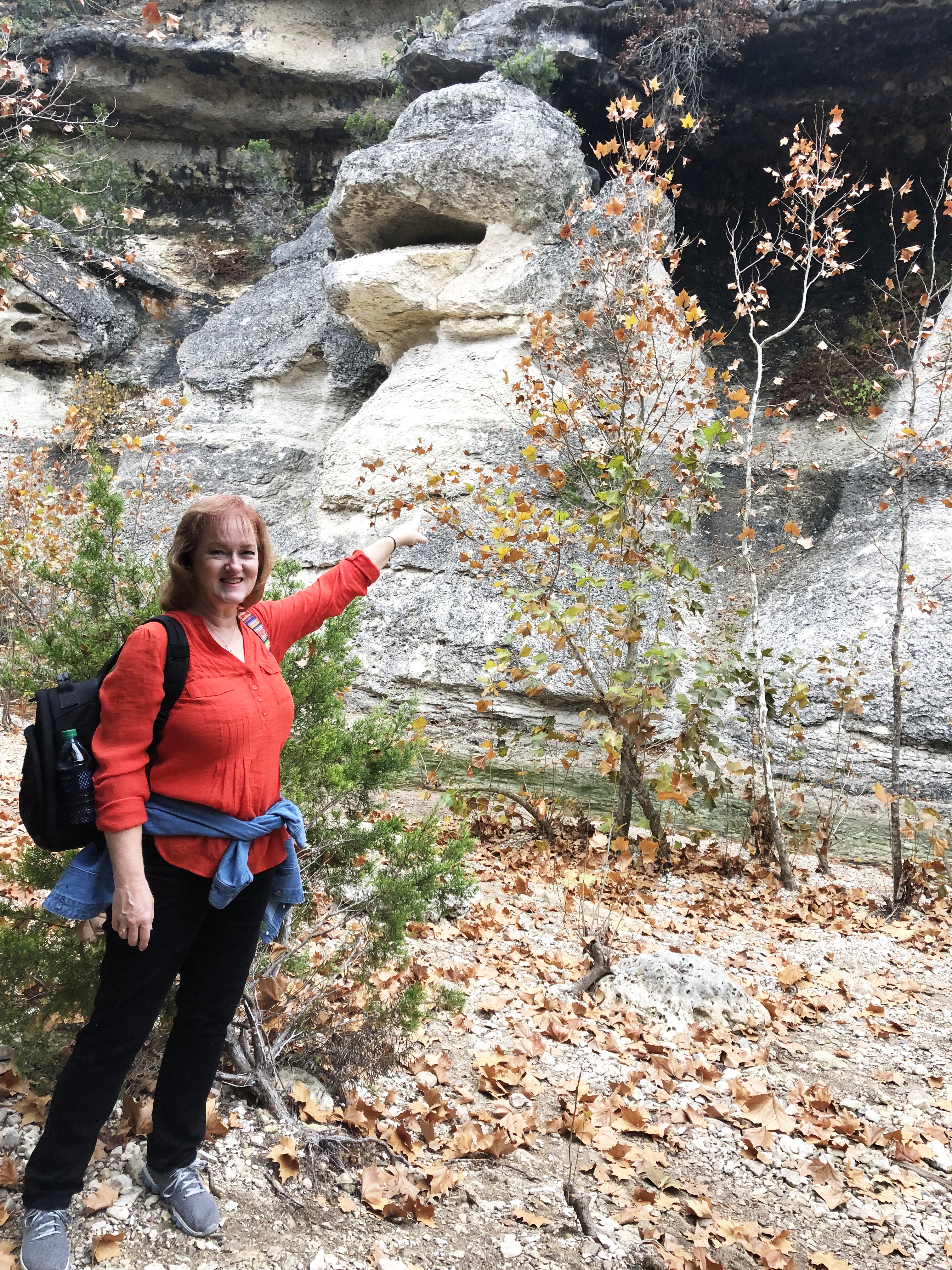
 for an array of birds, gray fox, white-tailed deer, armadillos, raccoons, bobcats, squirrels and an occasional javelina. Most of the wildlife will understandably avoid people, but the more tranquil (quiet!) your walk, the better chance you have of spotting them.
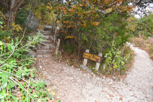


 Weekends fill up fast with only 300 guest slots available from 8 a.m. until noon, and another 150 spots from 1 p.m. to 5 p.m. Once you’re there you can stay until 10 pm.
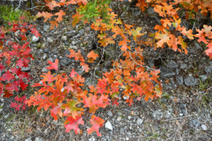

 Here’s the secret: you can actually purchase a Save the Day pass 30 days in advance online! When I chose the dates of my visit I counted backward on my calendar and jotted myself a reminder to book as soon as the dates were able to be claimed.
 Another insider tip: Though the last two weeks of October and the first two weeks of November are traditionally the height of the fall color season, this can vary from year to year due to weather patterns. Be sure to check resources like the fall foliage conditions for the most current updates. A link is here.


